Filters
No categories available
No brands available
North America Maps
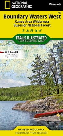
National Geographic 753 Boundary Waters - West and Superior National Forest Trail Map
National GeographicThis Trails Illustrated 753 Boundary Waters - West and Superior National Forest trail map from National Geographic offers detailed coverage of the western Boundary Waters Canoe Area Wilderness.

Nevada Atlas and Gazetteer
DeLormeFar more than just its most famous towns, the Silver State is host to some exceptional recreation options. Explore them in fine detail with the DeLorme Nevada Atlas and Gazetteer.
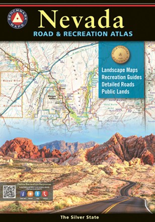
Nevada Road & Recreation Atlas - 8th Edition
Benchmark MapsNevada has long been known as the wildest adventure state in the lower 48, and the Nevada Road & Recreation Atlas aims to corral all of its marvels and outdoor potential.
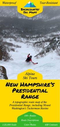
New Hampshire's Presidential Range Backcountry Ski Map
With over 100 routes for epic trips and making fresh tracks, New Hampshire's Presidential Range Backcountry Ski map is a ski-specific map and guide to the area's best steeps and descents.
North America MapsNew England and Mid Atlantic Maps - DEPRECATED

New Hampshire/Vermont Atlas and Gazetteer
DeLormePlan your next New England road trip with the DeLorme New Hampshire/Vermont Atlas and Gazetteer. The detailed maps are great for taking the scenic route and finding spots for outdoor exploration.
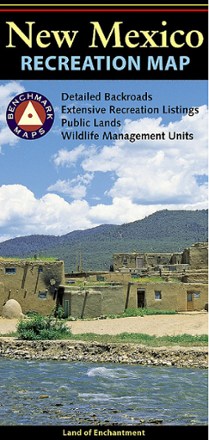
New Mexico Recreation Map
Benchmark MapsThe award-winning Benchmark Maps New Mexico recreation map helps you navigate the Land of Enchantment with generous page-to-page overlaps, GPS grids and easy-to-read symbols.
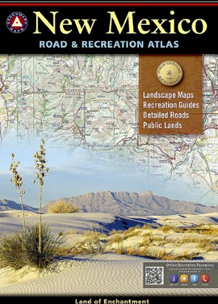
New Mexico Road & Recreation Atlas - 10th Edition
Benchmark MapsJump into the navigator's seat with the Benchmark Maps New Mexico Road and Recreation Atlas and explore the Land of Enchantment with vivid, shade-relief maps and all sorts of recreation to enjoy.

New York Atlas and Gazetteer
DeLormePerfect for sightseeing, road tripping and finding your new favorite hiking spot, the DeLorme New York Atlas and Gazetteer covers the entire state in detail, from the Big Apple to the Adirondacks.
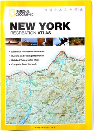
New York Recreation Atlas
National GeographicThe National Geographic New York Recreation Atlas offers detailed topographic maps, complete road networks and extensive recreation resources for the Empire State.
North America MapsNew England and Mid Atlantic Maps - DEPRECATED
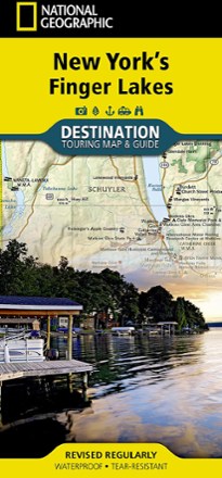
New York's Finger Lakes Destination Touring Map & Guide
National GeographicNew York's Finger Lakes Destination touring map & guide by National Geographic strikes the perfect balance between map and guidebook. It is an ideal resource for touring this unique region.
North America MapsNew England and Mid Atlantic Maps - DEPRECATED

North Carolina Atlas and Gazetteer
DeLormeThe beautifully crafted DeLorme North Carolina Atlas and Gazetteer covers the entire state in fine detail so you can explore back roads, go sightseeing and plan your outdoor recreation trip with ease.
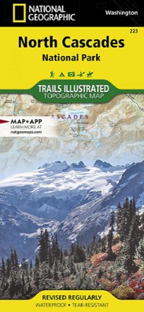
North Cascades National Park Trail Map
National GeographicThis Trails Illustrated folded map offers comprehensive coverage of North Cascades National Park in Washington.
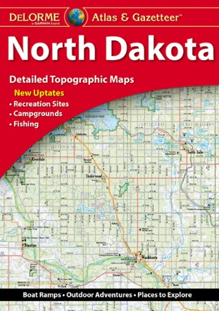
North Dakota Atlas and Gazetteer - 2022 Edition
DeLormeA great companion for outdoor recreation and trip planning, the DeLorme North Dakota Atlas and Gazetteer covers all of the Peace Garden State in fine detail.
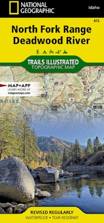
North Fork Range Deadwood River Topographic Map
National GeographicThe expertly researched and highly detailed National Geographic North Fork Range Deadwood River topographic map will aid your Idaho exploration whether you're out on foot, bike, ATV or boat.