Filters
No categories available
No brands available
North America Maps

Maine Southern Coast Waterproof Trail Map & Guide
Map AdventuresPlan a trip to the southern coast of Maine with this waterproof trail map and guide from Map Adventures. It includes day trips, breweries, lighthouses and beaches—plus trails and scenic drives.
Malibu Creek State Park Trail Map
Tom Harrison CartographyShaded-relief topo map of Malibu Creek, Castro Crest, Corral Canyon, Backbone Trail, Solstice Canyon and Paramount Ranch.
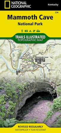
Mammoth Cave National Park Map
National GeographicExpertly researched and created with local land management agencies, this National Geographic Mammoth Cave National Park map provides detailed, accurate information to assist your exploration.
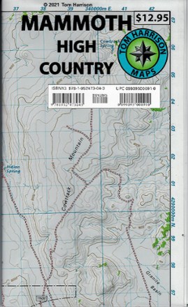
Mammoth High Country Trail Map
Tom Harrison CartographyReady to explore the Mammoth high country? You'll want this Tom Harrison Cartography Mammoth High Country Trail Map to guide you to the best hiking trails.
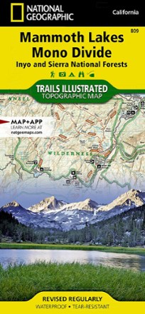
Mammoth Lakes and Mono Divide Trail Map
National GeographicThis detailed Trails Illustrated folded map offers colorful, comprehensive coverage of Mammoth Lakes and Mono Divide in California.

Mammoth Recreation Map
Sierra MapsResearched and authored by local hikers and residents, the Sierra Maps Mammoth Recreation map contains all the info you need to confidently plan your Mammoth area adventures.

Mammoth-Mono Region Recreation Topo Map and Guide
Sierra MapsUnlock a wealth of outdoor fun—camping, hiking, biking, fishing and more—with the Sierra Maps Mammoth-Mono Region recreation topo map and guide, your key to adventure from Bridgeport to Crowley Lake.

Manchester Area Hiking Trail Map
Green Mountain ClubHighlighting the Manchester area in southwestern Vermont and its wonderful hikes, scenic ponds and beautiful waterfalls, the Green Mountain Club Manchester Area map is a must-have for planning trips.

Manistee North Topographic Map
National GeographicThe Trails Illustrated Manistee North topographic map combines unmatched detail with helpful information to offer an invaluable tool for making the most of your visit to this scenic region.

Manistee South Topographic Map
National GeographicExplore the many recreational opportunities available year-round in Michigan's northern lower peninsula with the Trails Illustrated Manistee South topographic map.
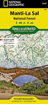
Manti La Sal National Forest Trail Map
National GeographicThis National Geographic Trails Illustrated folded map offers comprehensive coverage of Utah's Manti La Sal National Forest area.
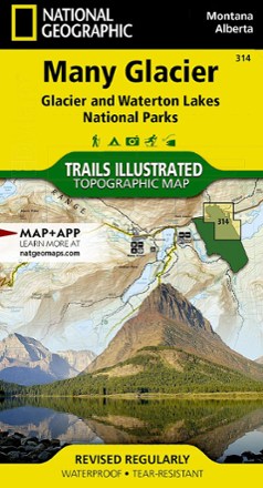
Many Glacier: Glacier and Waterton Lakes National Parks Topographic Map
National GeographicThe Trails Illustrated Many Glacier: Glacier and Waterton Lakes National Parks topographic map offers unparalleled detail for exploring the pristine landscapes within these 2 spectacular parks.
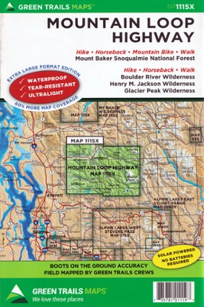
Map 111SX - Mountain Loop Highway
Green TrailsFilled with beautifully detailed topography, the Green Trails Mountain Loop Highway map (111SX) pulls you off the scenic road to explore the beautiful wilderness western Washington has to offer.

Map 114SX - North Cascades, Lake Chelan, Glacier Peak
Green TrailsStretching from Marblemount to Pateros, the Green Trails North Cascades, Lake Chelan and Glacier Peak map (114SX) offers a beautifully detailed topographic guide to this region in eastern Washington.