North America Maps
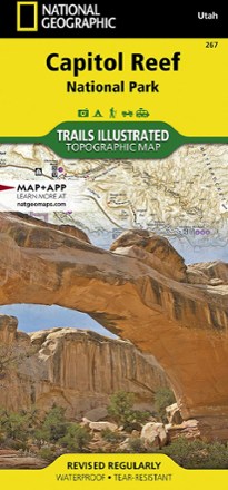
Capitol Reef National Park Trail Map
National GeographicThe National Geographic Trails Illustrated Capitol Reef National Park trail map offers clear, detailed coverage of this part of Utah's amazing geology.
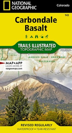
Carbondale/Basalt Trail Map
National GeographicThis National Geographic Trails Illustrated folded map offers comprehensive coverage of Colorado's Carbondale and Basalt.

Carson-Iceberg, Emigrant & Mokelumne Wilderness Areas Topographic Map
National GeographicThe Trails Illustrated Carson-Iceberg, Emigrant & Mokelumne Wilderness Areas topographic map provides unmatched detail and valuable info for outdoor enthusiasts exploring California's Sierra Nevada.
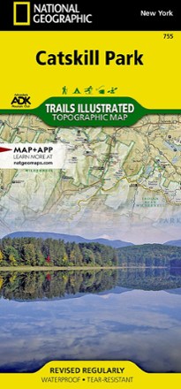
Catskill Park Trail Map
National GeographicThe Trails Illustrated Catskill Park trail map from National Geographic offers detailed coverage of New York's Catskill Park, from Bearhead Spring Mountain to Vernooy Kill Forest.
North America MapsNew England and Mid Atlantic Maps - DEPRECATED

Catskills Trails Map 2023 - 13th Edition
New York New Jersey TrailGet out and explore the vast wilderness of the Catskills with the revised 13th edition of the Catskills Trails map. This 6-map set features trails in and around Catskill Park in New York.

Cedar Mountain/Pine Valley Mountain Trail Map
National GeographicThis National Geographic Trails Illustrated folded map offers comprehensive coverage of Utah's Cedar Mountain and Pine Valley Mountain area.
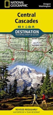
Central Cascades Destination Map
National GeographicNational Geographic Central Cascades Destination Map balances between map and guidebook—an ideal resource for touring the beauty and grandeur of the Pacific Northwest of Washington and Oregon.
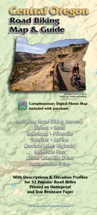
Central Oregon Road Biking Map
Adventure MapsRide the incredible volcanic and high desert landscapes of central Oregon with the Adventure Maps Central Oregon Road Biking map as your guide to 32 rides you can even download to your phone.
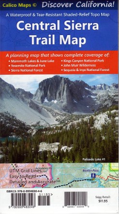
Central Sierra Trail Map
Calico MapsDiscover the majestic beauty of the eastern and western Sierra Nevada mountains with the foldable, pocket-sized convenience of the Central Sierra Trail Map as your guide.
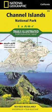
Channel Islands National Park Topographic Map
National GeographicThe Trails Illustrated Channel Islands National Park Topographic Map covers with unparalleled detail the 5 islands that encompass the park, including the State Marine Reserve surrounding the islands.
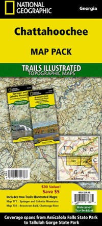
Chattahoochee Topographic Map Pack
National GeographicTrails Illustrated Chattahoochee topographic map pack offers 2 titles for Chattahoochee National Forest, covering the Appalachian Trail's south end and an abundance of recreational opportunities.

Chattooga River Map and Trail Guide
Pisgah Map CoWork your way all along the Chattooga Riber by foot or boat with the Chattooga River map and trail guide as your navigator through these tranquil, free-flowing waters in rugged South Carolina.
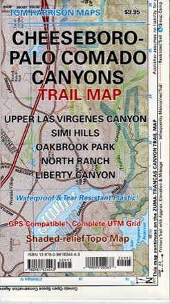
Cheeseboro - Palo Comado Canyons Trail Map
Tom Harrison CartographyThe Cheeseboro - Palo Comado Canyons trail map offers a full-color, topographic guide with shaded relief for hiking, backpacking, and mountain biking around this Ventura County open space.
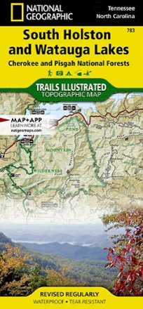
Cherokee and Pisgah National Forests - South Holston and Watauga Lakes Trail Map
National GeographicThis National Geographic Trails Illustrated folded map offers coverage of South Holston and Watauga Lakes in Tennessee and North Carolina.