Filters
No categories available
No brands available
Mountain West Maps

Bozeman Area Outdoor Recreation Map
Beartooth PublishingCovering the Bozeman, Montana, area from the Sacagawea Peak to Hyalite Peak, this Beartooth Publishing topographic recreation map features a larger scale that's ideal for trail and backcountry use.

Bozeman, Big Sky, Bridger Range Topographic Map
National GeographicExperience soaring peaks, pristine landscapes and year-round recreation with this expertly researched National Geographic Bozeman, Big Sky and Bridger Range topographic map.

Bryce Canyon National Park Trail Map
National GeographicThis informative Trails Illustrated map will help you plan trips and explore the area in and around Utah's Bryce Canyon National Park.
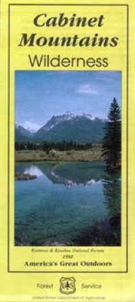
Cabinet Mountains Wilderness Map
Explore Montana's 35-mile range of glaciated peaks and valleys with the help of the official Forest Service map of the Cabinet Mountains Wilderness, featuring the 8,738-foot summit of Snowshoe peak.
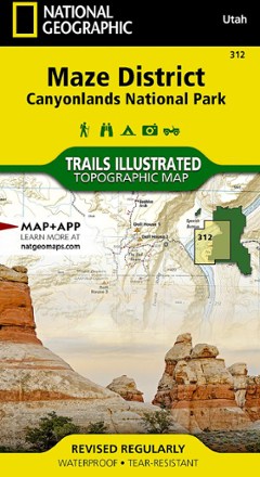
Canyonlands National Park - Maze District Trail Map
National GeographicThis National Geographic Trails Illustrated folded map offers comprehensive coverage of the Maze district in Utah's Canyonlands National Park.
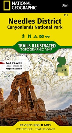
Canyonlands National Park - Needles District Trail Map
National GeographicThis National Geographic Trails Illustrated folded map offers comprehensive coverage of the Needles district in Utah's Canyonlands National Park.
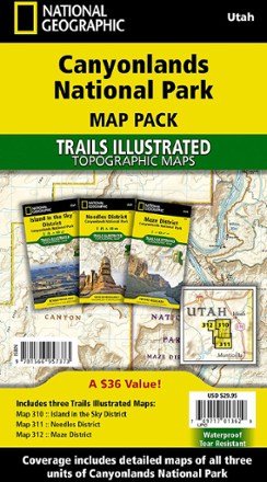
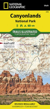
Canyonlands National Park Topographic Map Pack
National GeographicWhether you're planning a road trip or a backpacking excursion, the National Geographic Canyonlands National Park topographic map pack will help you plan your outing to Canyonlands' 3 districts.
Canyonlands National Park Trail Map - Needles/Isle
National GeographicThis National Geographic Trails Illustrated folded map offers comprehensive coverage of the Needles/Isle areas of Canyonlands National Park in Utah.
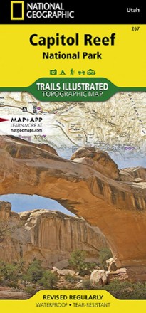
Capitol Reef National Park Trail Map
National GeographicThe National Geographic Trails Illustrated Capitol Reef National Park trail map offers clear, detailed coverage of this part of Utah's amazing geology.

Cedar Mountain/Pine Valley Mountain Trail Map
National GeographicThis National Geographic Trails Illustrated folded map offers comprehensive coverage of Utah's Cedar Mountain and Pine Valley Mountain area.

Classic Moab Trails - 8th Edition
Latitude 40 MapsExplore the best Moab has to offer with this Latitude 40 Maps Classic Moab Trails map. It's accurate, detailed and durable enough to use on the move, rain or shine.
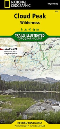
Cloud Peak Wilderness Map
National GeographicDiscover the wildest section of the Bighorn Mountains with this Cloud Peak Wilderness map from National Geographic Trails Illustrated. It offers vivid detail and a waterproof, rugged construction.

Crazy Mountains Recreation Map
Beartooth PublishingLocated in southern Montana, the Crazy Mountains have a dedicated following of outdoor enthusiasts. Count yourself as one with this map from Beartooth Publishing.
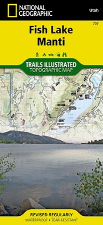
Fish Lake Manti Topographic Map
National GeographicExplore Fish Lake, the town of Manti and the Utah landscape around it with the National Geographic Fish Lake Manti Topographic Map. It includes hiking trails, OHV trails and a scenic backway.