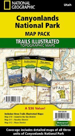

Canyonlands National Park Topographic Map Pack
Tech Specs
Specifications are maintained on Pack4Back GearDB (community edits and revision history). Values may differ from the manufacturer or your unit—verify before buying.
BrandNational Geographic
Best UseBackpacking
State / ProvinceUtah
Folded Dimensions7.50 x 4 inches
Unfolded Dimensions37.75 x 25.5 inches
Map Scale1:35,000
Double SidedYes
WaterproofYes
PublisherNational Geographic
Copyright Year2022
Map Number1193
Description
Whether you're planning a road trip or a backpacking excursion, the National Geographic Canyonlands National Park topographic map pack will help you plan your outing to Canyonlands' 3 districts.
Features
- Map pack combines the 3 districts of Canyonlands into one bundle with 3 maps
- Pack includes: Map 310 - Island in the Sky District; Map 311: Needles District; Map 312 - Maze District
- Printed on Backcountry Tough waterproof, tear-resistant paper
- Full UTM grid is printed on the map to aid with navigation