Media

Wildlife of Texas
Quick Reference PublishingFollow tracks, scats and signs to identify what creatures—elusive and common alike—roam across the Lone Star State with Wildlife of Texas, a practical, pocket-size field guide.
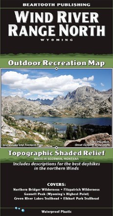
Wind River Range North Outdoor Recreation Map
Beartooth PublishingOne of the most famous mountain ranges in the United States, the Winds often defy reason with their beauty. Use this Beartooth Publishing Wind River Range North map to guide your Wyoming explorations.
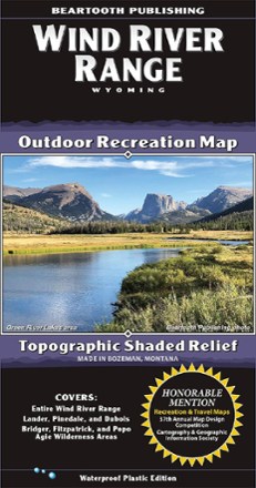
Wind River Range Outdoor Recreation Map
Beartooth PublishingOne of the most famous mountain ranges in the U.S., the Winds often defy reason with their beauty. Use this Beartooth Publishing Wind River Range recreation map to guide your explorations in Wyoming.

Wings Over Water
A beautiful, photo-rich companion book to the IMAX film of the same name, Wings Over Water celebrates the prairie wetlands of North America and the birds that live and breed in this critical habitat.
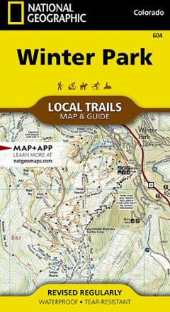
Winter Park Map - Local Trails
National GeographicIn Trails Illustrated Winter Park Map - Local Trails, discover a year-round adventure destination tucked into the high country of the Rockies with wild opportunities of all kinds for those who visit.
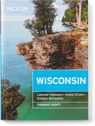
Wisconsin - 8th Edition
MOONMajestic forests, verdant farms, rushing rivers, tranquil lakes—experience the best of the Badger State with the practical tips, itineraries, local insights and honest advice in MOON Wisconsin.
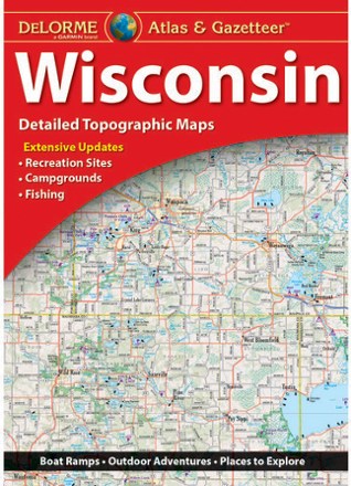
Wisconsin Atlas and Gazetteer
DeLormeFrom the shores of Lake Superior and Lake Michigan to the forests and bluffs of the Western Upland, the DeLorme Wisconsin Atlas and Gazetteer covers the entire Badger State in fine detail.

Wisconsin Explorers Guide
Countryman PressWith city sophistication and small-town charm, Wisconsin offers much more than cheese. Enjoy it using the Wisconsin Explorers Guide, which offers a range of activities in comprehensive detail.
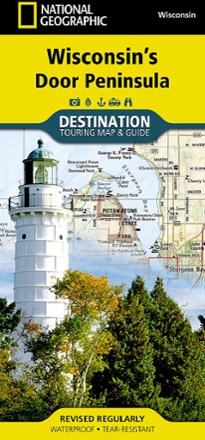
Wisconsin's Door Peninsula Destination Map
National GeographicTrails Illustrated Wisconsin's Door Peninsula Destination Map strikes a balance between travel map and guidebook—a great resource for touring this culturally and geographically unique region.

Woman in the Wild
FalconGuidesLooking to get into the backcountry lifestyle or level up your current active outdoor life? A perfect adventure companion, Woman in the Wild is your guide to hiking, camping and backcountry travel.
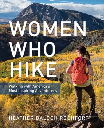
Women Who Hike
FalconGuidesA celebration of athleticism, wisdom and skill—Women Who Hike profiles more than 20 of America's most inspiring women adventurers ranging from legends to the rising stars of today.
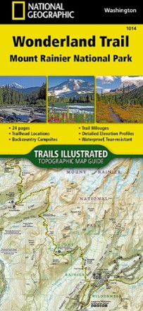
Wonderland Trail Topographic Map Guide
National GeographicNavigate the 22,000 cumulative feet of elevation gain/loss over undulating terrain encircling Mount Rainier with the detailed help of this National Geographic Wonderland Trail topographic map guide.
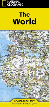
World Map - Folded
National GeographicSetting the standard by which all other reference maps are measured, the folded National Geographic World Map is meticulously researched and uses a bright, easy-to-read color palette.
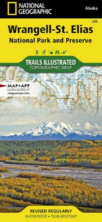
Wrangell-St. Elias National Park & Preserve Topographic Map
National GeographicExplore the wild and vast backcountry of the United States' largest national park with this detailed National Geographic Wrangell-St. Elias National Park & Preserve topographic map as your guide.