Filters
No categories available
No brands available
Maps
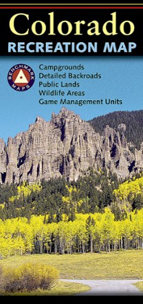
Colorado Recreation Map
Benchmark MapsThe Benchmark Maps Colorado Recreation Map delivers detailed coverage of the Centennial State with an award-winning design, generous page-to-page overlaps, GPS grids and easy-to-read symbols.
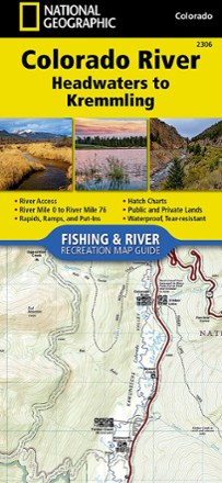
Colorado River Fishing & River Recreation Map Guide: Headwaters to Kremmling
National GeographicA perfect companion for recreation on the Colorado River from its headwaters to Kremmling, this Fishing & River Recreation Map Guide is packed with details and maps for planning your adventures.
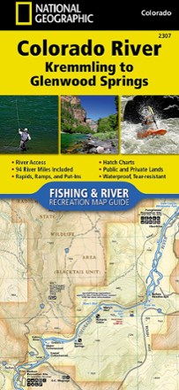
Colorado River Fishing & River Recreation Map Guide: Kremmling to Glenwood Springs
National GeographicA perfect companion for recreation from Kremmling to Glenwood Springs, the Colorado River Fishing & River Recreation Map Guide is packed with details and maps to help plan and guide your adventures.

Colorado Road & Recreation Atlas - 7th Edition
Benchmark MapsHop into the navigator's seat with the Benchmark Maps Colorado Road and Recreation Atlas and see the state's beauty on the road with vivid, shade-relief maps and recreational details to stop off for.

Colorado Rocky Mountain National Park Map
Outdoor Trail MapsWith so much to explore throughout Rocky Mountain National Park, you're bound to discover plenty of incredible lakes, jagged peaks and densely wooded areas with this highly detailed hiking map.

Colorado Sangre de Cristo Wilderness North Map
Outdoor Trail MapsThis Colorado Sangre de Cristo Wilderness North topographic hiking map shows all of the hiking trails in the northern part of the Sangre de Cristo Wilderness of central Colorado.

Colorado Sangre de Cristo Wilderness South Map
Outdoor Trail MapsThis Colorado Sangre de Cristo Wilderness South topographic hiking map shows all of the hiking trails in the southern part of the Sangre de Cristo Wilderness of central Colorado.
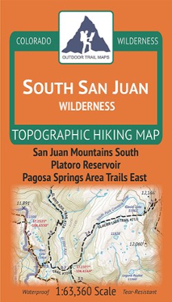
Colorado South San Juan Wilderness Map
Outdoor Trail MapsPlot your own adventure with this Colorado South San Juan Wilderness topographic hiking map, covering all the hiking trails in this wilderness area in the southern portion of the San Juan Mountains.

Colorado Springs Pikes Peak Map
Sky Terrain Trail MapsThis detailed map of Springs Pikes Peak is easy to use and waterproof; providing trial ratings, 3D views, shaded relief and is GPS ready
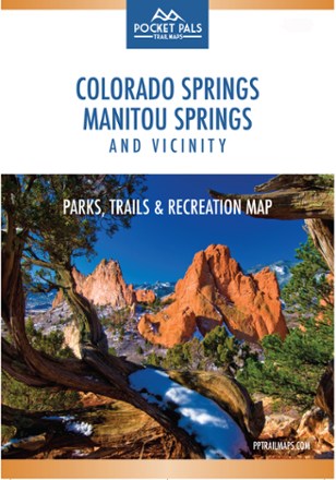
Colorado Springs, Manitou Springs and Vicinity: Parks, Trails and Recreation Map
The Pocket Pals Colorado Springs, Manitou Springs and Vicinity map is a must-have for those who want to enjoy the great outdoors, including nature enthusiasts, families and young professionals.
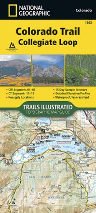
Colorado Trail Collegiate Loop Topographic Map Guide
National GeographicDesigned for navigating the 163-mile Collegiate Loop, the National Geographic Colorado Trail Collegiate Loop topographic map guide has the info you need, whether you're backpacking or on a day hike.

Colorado Trail North: Monarch to Denver Topographic Map Guide
National GeographicWith detailed maps and the info you need to plan your outing and stay on route, the National Geographic Colorado Trail North: Monarch to Denver topographic map will help you explore with confidence.

Colorado Trail South: Durango to Monarch Topographic Map Guide
National GeographicThe National Geographic Colorado Trail South: Durango to Monarch topographic map guide is the perfect traveling companion when navigating the southern section of The Colorado Trail.
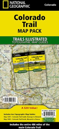
Colorado Trail Topographic Map Pack - Set of 2 Map Guides
National GeographicIf you're planning a thru-hike to see the stunning scenery along Colorado's premier long distance trail, this set of 2 National Geographic Colorado Trail topo map guides has all the details you need.