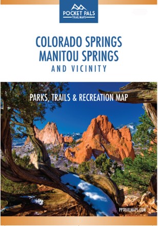
Colorado Springs, Manitou Springs and Vicinity: Parks, Trails and Recreation Map
Tech Specs
Specifications are maintained on Pack4Back GearDB (community edits and revision history). Values may differ from the manufacturer or your unit—verify before buying.
Description
The Pocket Pals Colorado Springs, Manitou Springs and Vicinity map is a must-have for those who want to enjoy the great outdoors, including nature enthusiasts, families and young professionals.
Features
- Provides all the important details to plan a trip and stay on track—trail length, difficulty level, total elevation gain/loss, landmarks and trailhead locations
- Includes waypoints (such as stream crossings, trail intersections, unique geologic features, overlooks, structural ruins, etc.) to identify along the way
- Also features detailed info on trails, parks, open spaces, dog parks, sports complexes, fishing, water-related recreation, golf courses, ice rinks and rock climbing
- Waterproof, tear-resistant map stands up to use out on the trails
- Perfectly sized to fit in your pocket, making it easy to take with you