Filters
No categories available
No brands available
Colorado Maps
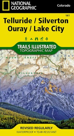
Telluride/Silverton/Ouray/Lake City Trail Map
National GeographicThis colorful Illustrated folded map offers detailed coverage of trails around Telluride and Lake City.
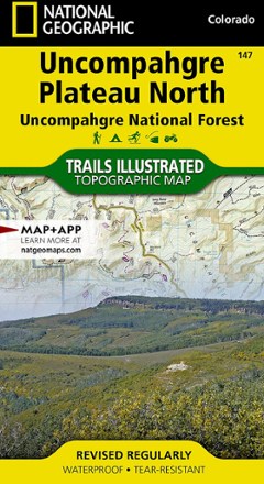
Uncompahgre Plateau North: Uncompahgre National Forest Topographic Map
National GeographicTrails Illustrated Uncompahgre Plateau North: Uncompahgre National Forest topographic map leads you to the year-round recreational opportunities of this unique area in southwestern Colorado.
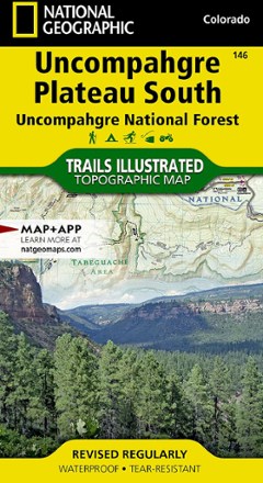
Uncompahgre Plateau South Topographic Map
National GeographicThe Trails Illustrated Uncompahgre Plateau South Map is created for outdoor enthusiasts exploring the year-round recreational opportunities in this unique area of southwestern Colorado.
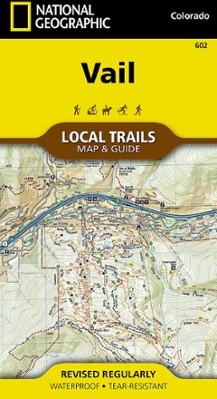
Vail Local Trails Map & Guide
National GeographicTake a hike with this National Geographic Local Trails map and guide of Vail, Colorado—situated at 8,150 ft. in the upper reaches of the Gore Valley and encircled by the White River National Forest.

Vail, Frisco, and Dillon Topographic Map
National GeographicThe Trails Illustrated Vail, Frisco, and Dillon topographic map is an unparalleled tool for exploring this region of the Colorado Rockies.

Weminuche Wilderness Trail Map
National GeographicThis informative, colorful Trails Illustrated map will help you plan trips and explore the area in and around the Weminuche Wilderness in Colorado.
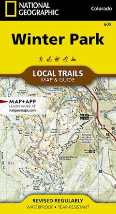
Winter Park Map - Local Trails
National GeographicIn Trails Illustrated Winter Park Map - Local Trails, discover a year-round adventure destination tucked into the high country of the Rockies with wild opportunities of all kinds for those who visit.
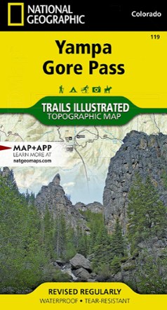
Yampa and Gore Pass Topographic Map
National GeographicThe richly detailed Trails Illustrated Yampa and Gore Pass map helps you enjoy the year-round recreational opportunities in and around southern Routt National Forest.