Filters
No categories available
No brands available
California Maps Deprecated
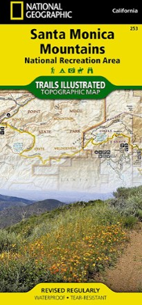
Santa Monica Mountains National Recreation Area
National GeographicThis colorful Trails Illustrated folded map offers comprehensive coverage of the Santa Monica Mountains National Recreation Area in California.
Santa Monica Point Mugu State Park
Tom Harrison CartographyThis shaded-relief topographic map details the trails of Point Mugu, Circle X Ranch, Arroyo Sequit and other Santa Monica area trails.

Sequoia & Kings Canyon National Park Trail Map
Adventure MapsDesign your own Californian national park adventure with this Adventure Maps Sequoia & Kings Canyon National Park topographic trail map. It comes with a matching digital map for use on your phone.
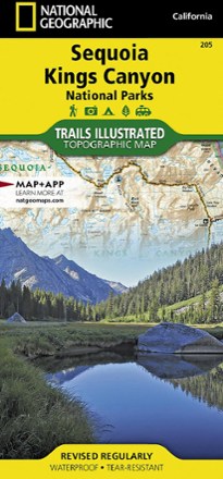
Sequoia and Kings Canyon National Park Trail Map
National GeographicThis National Geographic Trails Illustrated folded map offers comprehensive coverage of California's Sequoia and Kings Canyon national parks.
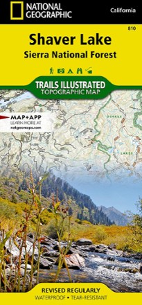
Shaver Lake: Sierra National Forest Topographic Map
National GeographicThe Trails Illustrated Shaver Lake: Sierra National Forest Topographic Map will help you navigate off the beaten path and back again, all around this very popular area of the Sierras in California.

Sierra National Forest Recreation Map
Tom Harrison CartographyFeaturing some of the most beautiful segments of the Pacific Crest Trail, Tom Harrison Cartography map of the Sierra National Forest reveals an area filed with streams, lakes and rugged, wild terrain.
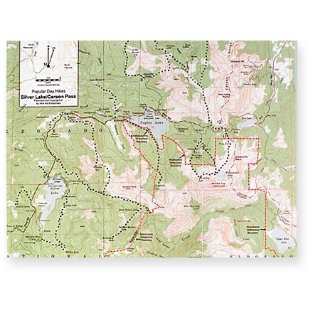
Silver Lake/Carson Pass Map/Guide
This map to the Silver Lake/Carson Pass area also features a concise guide to day hikes in the area.
South Marin Map
Tom Harrison CartographyVenture north of San Francisco with this Tom Harrison Cartography South Marin map and discover an extensive network of trails throughout the Golden Gate National Recreation Area to hike or bike.

Southern Sierra Trail Map
Calico MapsA planning map that completely covers the Southern Sierra Nevada region of California, the Calico Maps Southern Sierra trail map is an excellent companion for exploring this amazing, little used area.
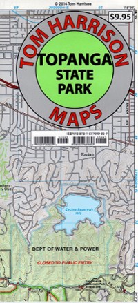
Topanga State Park Map
Tom Harrison CartographyDiscover a scenic jewel of Southern California with the Tom Harrison Cartography Topanga State Park Map, a full-color shaded-relief topographic map on high-quality tear- and water-resistant paper.
Trails of Northeast Marin County Map - 2nd Edition
Travel the trails and byways of parks throughout this scenic section of Marin County.
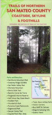
Trails of Northern San Mateo County Map
Extending from Pacifica to Half Moon Bay and Woodside, Trails of Northern San Mateo County sets your course to numerous trails and scenic views along the coastline, inland foothills and mountains.

Verdugo Mountains Trail Map
Tom Harrison CartographyThis high-quality, shaded topographic map elaborately details the Verdugo Mountains' motorways and trails.
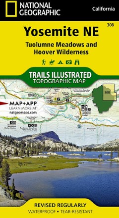
Yosemite National Park NE - Tuolumne Meadows and Hoover Wilderness
National GeographicThis Trails Illustrated folded map offers detailed coverage of the Tuolumne Meadows and Hoover Wilderness area of Northeast Yosemite National Park.