Books And Maps

Discovering Seattle Parks: A Local's Guide
Mountaineers BooksIf you see the bright color-blocked sign, you'll know you're at a spot in Discovering Seattle Parks: A Local's Guide, which connects you to Seattle's abundance of beautiful parks with local flavor.
North America Travel GuidebooksWashington and Oregon Travel Guidebooks - DEPRECATED
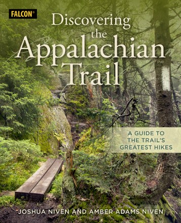
Discovering the Appalachian Trail
FalconGuidesWhether you're a beginner or a seasoned thru-hiker, FalconGuides Discovering the Appalachian Trail has something for everyone who wants a connection with the nation's longest marked footpath.
Camping and Hiking GuidebooksNorth America Hiking Guidebooks
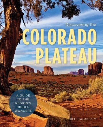
Discovering the Colorado Plateau
FalconGuidesThe Colorado Plateau is a treasure of the American West. Discovering the Colorado Plateau helps you explore this region's hidden wonders through beautiful maps, color photos and detailed descriptions.
Camping and Hiking GuidebooksNorth America Hiking Guidebooks

Dolly Sods and Seneca Rocks Lizard Map - 2nd Edition
Purple Lizard MapsWhether you're hiking or mountain biking, the Purple Lizard Dolly Sods and Seneca Rocks map helps you cover a lot of ground on numerous trails through West Virginia's beautiful wilderness areas.

Dragonflies of Florida
Quick Reference PublishingPeople exploring nature in the Sunshine State can use this photographic field guide, Dragonflies of Florida, to identify common native dragonfly species. Its 6 double-sided panels make it compact.
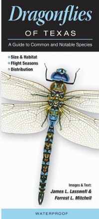
Dragonflies of Texas
Quick Reference PublishingPeople exploring nature in southeast Texas can use this photographic field guide, Dragonflies of Texas, to identify common native dragonfly species. It folds up small, thanks to 6 double-sided panels.
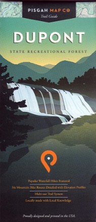
Dupont State Recreational Forest Map
Pisgah Map CoFeaturing popular waterfall hikes and 6 mountain biking routes, the easy-to-use Dupont State Recreational Forest map will help you hit the trail and explore Western North Carolina.
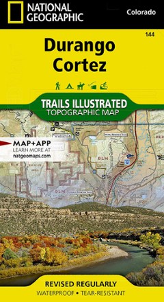
Durango/Cortez Trail Map
National GeographicThis informative Trails Illustrated map will help you plan trips to and explore the area in and around Durango and Cortez, Colorado.

Dutch Oven and Cast Iron Cooking, Revised and Expanded 3rd Edition
With flavorful meal ideas and crisp color photography, Dutch Oven and Cast Iron Cooking, Revised and Expanded 3rd Edition offers complete, easy-to-follow instructions for classic Dutch oven cooking.
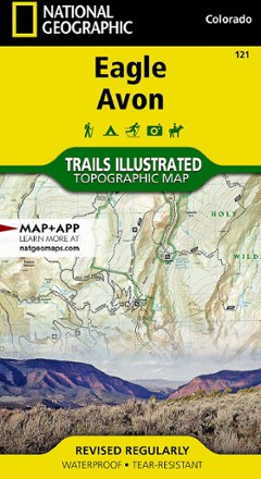
Eagle / Avon Topographic Map
National GeographicThe Trails Illustrated Eagle / Avon topographic map is the ultimate tool for exploring this region in the heart of the Colorado Rockies.
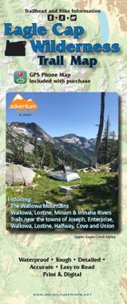
Eagle Cap Wilderness Trail Map - 2020
Adventure MapsThe Eagle Cap Wilderness Trail Map is a waterproof, topographic (lat/long, UTM grids) trail map that includes hiking descriptions covering the Wallowa Mountains, including the Eagle Cap Wilderness.
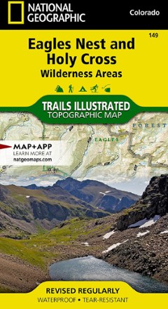
Eagles Nest and Holy Cross Wilderness Areas Topographic Map
National GeographicThe Trails Illustrated Eagles Nest and Holy Cross Wilderness Areas topographic map provides incredible detail of this scenic region in Colorado's Rocky Mountains.

Earth Almanac: Nature's Calendar for Year-Round Discovery
Mountaineers BooksEarth Almanac presents the greatest hits of North American nature. Built around the study of seasonal patterns in nature (phenology) these day-by-day descriptions highlight links to the natural world.
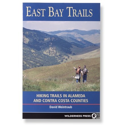
East Bay Trails
Wilderness PressFollow 56 of the best hikes to be found in the scenic waysides of Alameda and Contra Costa counties.
North America Hiking GuidebooksCalifornia Hiking Guidebooks - DEPRECATED