Books And Maps
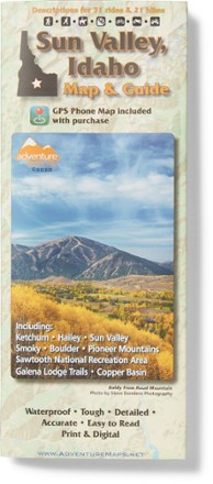
Sun Valley, ID Trail Map
Adventure MapsGrab this waterproof, topographic Sun Valley, Idaho trail map from Adventure Maps to plan adventures in Ketchum, Hailey, the Smoky, Boulder and Pioneer Mountains, and the Sawtooth Recreation Area.
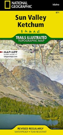
Sun Valley, Ketchum Topographic Map
National GeographicExplore central Idaho's world-renowned ski resort, Sun Valley, nearby Ketchum and the surrounding Sawtooth National Forest with this Trails Illustrated Sun Valley, Ketchum topographic trail map.
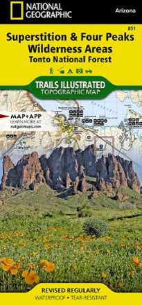
Superstition & Four Peaks Wilderness Areas Topographic Map
National GeographicExpertly researched in cooperation with the U.S. Forest Service and others, the Trails Illustrated Superstition & Four Peaks Wilderness Areas topographic map provides unmatched detail of this area.

Superstition Wilderness Map
Beartooth PublishingShowing the entire Superstition Wilderness at a detailed 50 ft. contour interval, this map from Beartooth Publishing is your guide to a hiker's and backpacker's paradise located just outside Phoenix.
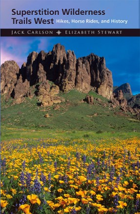
Superstition Wilderness Trails West - 2nd Edition
Featuring more than 65 treks in rugged mountains and hidden canyons less than an hour from Phoenix, this 2nd edition of Superstition Wilderness Trails West is your guide to unforgettable adventure.
Camping and Hiking GuidebooksNorth America Hiking Guidebooks

Swiss Army Knife Camping & Outdoor Survival Guide
Make your Swiss Army knife useful in any situation. Swiss Army Knife Camping and Outdoor Survival Guide sharpens your survival skills with 101 tips, tricks and uses of the trusty red multitool.

Switzerland Adventure Travel Map
National GeographicProviding a balanced combination of detail and perspective, the National Geographic Switzerland Adventure travel map is the tool you'll want to keep handy for all your Swiss travels.

Sycamore Canyon / Verde Valley Topographic Map
National GeographicCreated in partnership with the U.S. Forest Service, the Trails Illustrated Sycamore Canyon / Verde Valley topographic map is an essential for exploring this picturesque area in Northern Arizona.

Tahoe & Reno
MOONFrom the glittering lake and trail-lined mountains to Old West towns and artsy urban centers, MOON Tahoe & Reno helps you experience the best of this adventurous region.
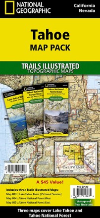
Tahoe Map Pack
National GeographicThe sapphire jewel in the crown of the Sierra Nevada, Lake Tahoe, and the surrounding area, offers lots to explore. Plan your adventure with this Trails Illustrated Tahoe map pack.
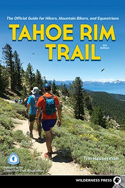
Tahoe Rim Trail - 4th Edition
Wilderness PressThis Tahoe Rim Trail guide divides the 165 mi. Tahoe Rim trail—plus dozens of side trips—into 8 sections. Each entry includes information on difficulty, trail highlights, driving directions and more.
Camping and Hiking GuidebooksNorth America Hiking Guidebooks
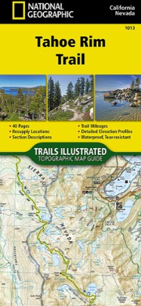
Tahoe Rim Trail Topographic Map Guide
National GeographicThe Tahoe Rim Trail traverses some of the most spectacular scenery in the Sierra Nevada and Carson Ranges. Use the Trails Illustrated Tahoe Rim Trail topographic map guide to find your way.
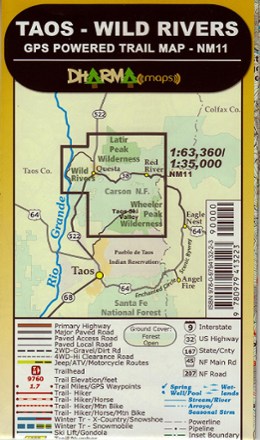
Taos - Wild Rivers Trail Map
Find your way along the trail with the GPS-precision of the Dharma Maps Taos–Wild Rivers trail map, a vivid shade-relief topographic map marked with all official trails and roads in the area.

Taos and Carson National Forest Map
National GeographicThis Trails Illustrated folded map is your essential guide for outdoor exploration in the Taos area of northern New Mexico.