Books And Maps

North Carolina Atlas and Gazetteer
DeLormeThe beautifully crafted DeLorme North Carolina Atlas and Gazetteer covers the entire state in fine detail so you can explore back roads, go sightseeing and plan your outdoor recreation trip with ease.

North Carolina Off the Beaten Path
Globe Pequot PressWhether you're a visitor or a local looking for something different, North Carolina Off the Beaten Path gets you off the main road and shows you the Tar Heel State from a new perspective.
North America Travel GuidebooksSoutheast Travel Guidebooks - DEPRECATED
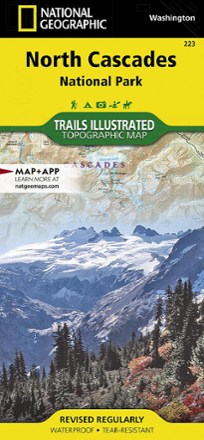
North Cascades National Park Trail Map
National GeographicThis Trails Illustrated folded map offers comprehensive coverage of North Cascades National Park in Washington.
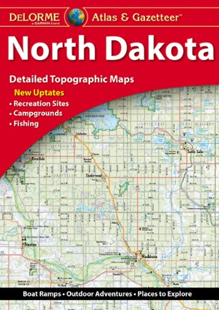
North Dakota Atlas and Gazetteer - 2022 Edition
DeLormeA great companion for outdoor recreation and trip planning, the DeLorme North Dakota Atlas and Gazetteer covers all of the Peace Garden State in fine detail.
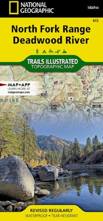
North Fork Range Deadwood River Topographic Map
National GeographicThe expertly researched and highly detailed National Geographic North Fork Range Deadwood River topographic map will aid your Idaho exploration whether you're out on foot, bike, ATV or boat.
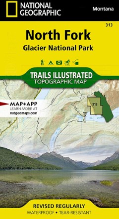
North Fork: Glacier National Park Topographic Map
National GeographicThe Trails Illustrated North Fork: Glacier National Park topographic map will benefit even the most experienced outdoors enthusiast exploring this pristine landscape blessed with very few amenities.
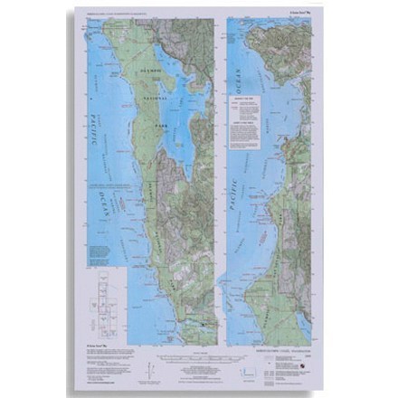
North Olympic Coast Map
Custom CorrectTopographic map shows trails, beach routes and headland tides from La Push north to Cape Flattery
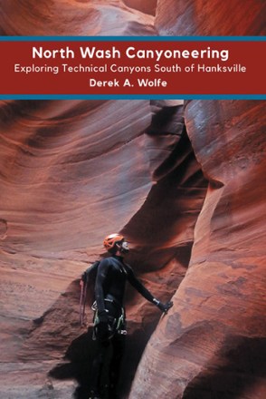
North Wash Canyoneering: Exploring Technical Canyons South of Hanksville
Sharp End PublishingIf you're seeking canyons in Utah, pick up North Wash Canyoneering: Exploring Technical Canyons South of Hanksville. The rich opportunities range from easy half-day outings to full-day excursions.
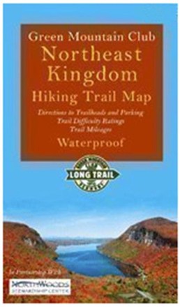
Northeast Kingdom Hiking Trail Map
Green Mountain ClubExplore Vermont's Northeast Kingdom hiking trails. This Green Mountain Club map now includes the Kingdom Heritage Trail on Middle Mountain and Bluff Ridge, plus trail relocation on Wheeler Mountain.

Northern New Jersey Highlands Trails - 13th Edition
New York New Jersey TrailThe revised Northern New Jersey Highlands Trails Map is a 4-map set with more than 360 mi. of marked trails and more than 40 parks and preserves in the northern Highlands region of New Jersey.

Northern San Diego County Bikeways and Trail Maps
Franko's MapsDiscover sunny San Diego county on 2 wheels with the comprehensive Franko's Maps Northern San Diego County Bikeways and Trails map.
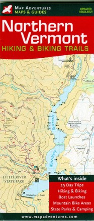
Northern Vermont Hiking & Biking Trails Map
Map AdventuresDiscover some of the best hikes and MTB rides along mountain summits, pristine lakes, hidden footpaths and open fields with the Map Adventures Northern Vermont hiking & biking trails map.
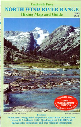
Northern Wind River Range Hiking Map And Guide
Double-sided topographic map covering the northern half of the Wind River Range from Union Pass, WY to Elkhart Park
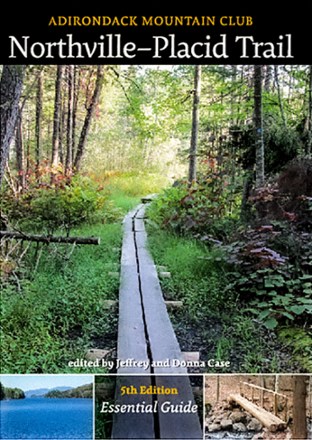
Northville-Placid Trail - 5th Edition
Adirondack Mountain ClubEdited by Jeff and Donna Case, this 5th-edition Adirondack Mountain Club Northville-Placid Trail guide has been extensively revised and redesigned—and is back at a smaller, more convenient size.
Camping and Hiking GuidebooksNorth America Hiking Guidebooks