Books And Maps
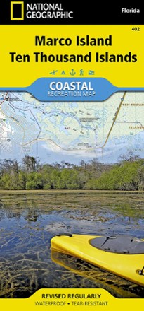
Marco Island and Ten Thousand Islands Coastal Recreation Map
National GeographicLet the National Geographic Marco Island and Ten Thousand Islands Coastal Recreation Map guide you, both on land and on water, in this popular recreation area just outside of Everglades National Park.

Mark of the Grizzly - 3rd Edition
Lyons PressA captivating book on magnificent but sometimes deadly creatures, the 3rd edition of Mark of the Grizzly has been revised and updated with more stories of recent bear attacks and hard lessons learned.
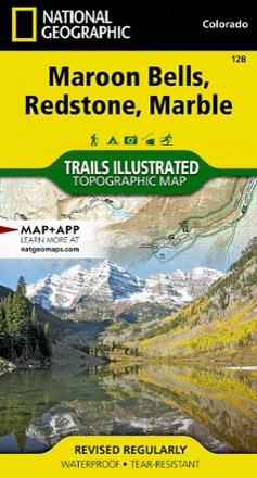
Maroon Bells/Redstone/Marble Trail Map
National GeographicThis informative Trails Illustrated map will help you plan trips and explore the area in and around Colorado's Maroon Bells, Redstone and Marble.

Maryland & Delaware Off the Beaten Path - 10th Edition
Globe Pequot PressTake the road less traveled. Maryland & Delaware Off the Beaten Path reveals new perspectives on go-to places and introduces those you never knew existed.
Camping and Hiking GuidebooksNorth America Hiking Guidebooks
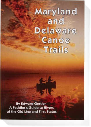
Maryland and Delaware Canoe Trails
A paddler's guide to the area's free-flowing floatable streams, Maryland and Delaware Canoe Trails reveals a wonderfully rich variety of waterways big and small, remote and accessible, wild and calm.
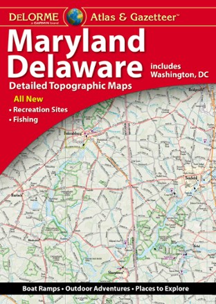
Maryland/Delaware Atlas and Gazetteer
DeLormePerfect for sightseeing, exploring back roads and trip planning, the 2022 edition of the DeLorme Maryland/Delaware Atlas and Gazetteer will help you find and explore hidden corners of these 2 states.

Massachusetts Atlas and Gazetteer
DeLormeTake in the Bay State and venture beyond Boston with the DeLorme Massachusetts Atlas and Gazetteer, which covers the entire state in fine detail.
North America MapsNew England and Mid Atlantic Maps - DEPRECATED
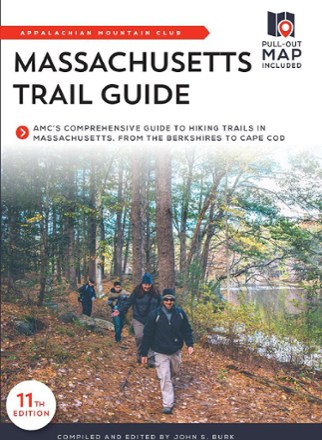
Massachusetts Trail Guide - 11th Edition
AMCFrom Mount Greylock to the Cape Cod National Seashore, the Bay State boasts a stunning variety of hiking trails. Explore them with confidence using this AMC Massachusetts Trail Guide.
Camping and Hiking GuidebooksNorth America Hiking Guidebooks
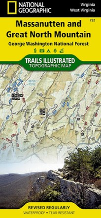
Massanutten and Great North Mountain Trail Map
National GeographicThis National Geographic Trails Illustrated folded map offers comprehensive coverage of he Massanutten and Great North Mountain area of Virginia.
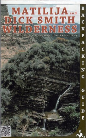
Matilija and Dick Smith Wilderness Map
Venture further into the wild backcountry of Santa Barbara and Ventura County with Matilija and Dick Smith Wilderness map guiding you way through these magnificent natural spaces.
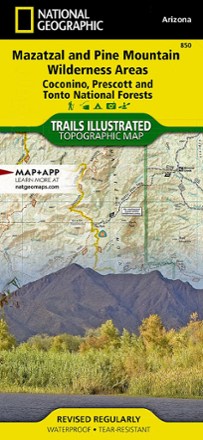
Mazatzal and Pine Mountain Wilderness Areas Topographic Map
National GeographicOutdoor enthusiasts looking for recreational opportunities just north of Phoenix will marvel at the Trails Illustrated Mazatzal and Pine Mountain Wilderness Areas topographic map.
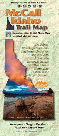
McCall Idaho Trail Map
Adventure MapsThe McCall area in central Idaho boasts more than 500 miles of public trails. Start exploring them with this handy Adventure Maps McCall Idaho trail map and matching digital map for use on your phone.

Merced & Tuolumne Rivers Topographic Map
National GeographicThe Trails Illustrated Merced & Tuolumne Rivers topographic map is an essential travel companion for outdoor enthusiasts exploring this area just west of Yosemite National Park.
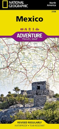
Mexico Adventure Travel Map
National GeographicDesigned with travelers in mind, the National Geographic Mexico Adventure Map is an excellent guide to Mexico's rich cultural history, national parks and archeological sites.