Books And Maps
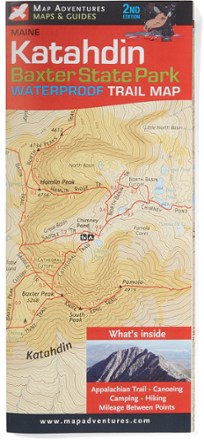
Katahdin-Baxter State Park Waterproof Trail Map - 2nd Edition
Map AdventuresCanoe, camp or hike—and visit the scenic Appalachian Trail—with the 2nd edition of the Katahdin–Baxter State Park Waterproof Trail Map from Map Adventures.
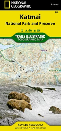
Katmai National Park and Preserve Trail Map
National GeographicThis National Geographic Trails Illustrated folded map offers comprehensive coverage of Alaska's Katmai National Park and Preserve.
Kaua'i Trails and Beaches Map
Tom Harrison CartographyA paradise of adventure awaits! The Tom Harrison Cartography Kaua'i Trails and Beaches map takes you to scenic beaches and trails of the Hawaiian island of Kaua'i.
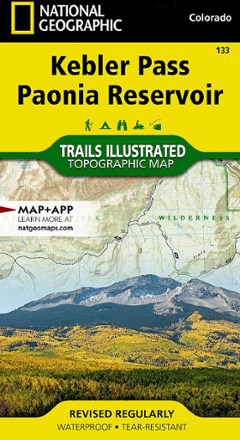
Kebler Pass / Paonia Reservoir Topographic Map
National GeographicThe Trails Illustrated Kebler Pass / Paonia Reservoir topographic map offers outdoor enthusiasts unparalleled detail of this untamed mountainous area with endless recreational opportunities.
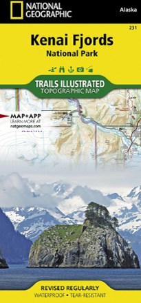
Kenai Fjords National Park Topographic Map
National GeographicExpertly researched and highly detailed, this National Geographic Kenai Fjords National Park topographic map will guide your explorations on both land and water.
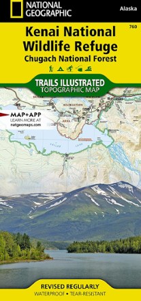
Kenai National Wildlife Refuge/Chugach National Forest Topographic Map
National GeographicThis expertly researched National Geographic Kenai National Wildlife Refuge topographic map contains an abundance of information on the recreational opportunities in this expansive, biodiverse area.
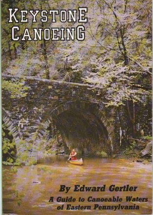
Keystone Canoeing - 5th Edition
Discover well over 300 floatable rivers and creeks beckoning for exploration by canoe or kayak with Keystone Canoeing, your guide to paddling 5,400 miles of Pennsylvania waterways.
North America Paddling GuidebooksNew England and Mid Atlantic Paddling Guidebooks - DEPRECATED
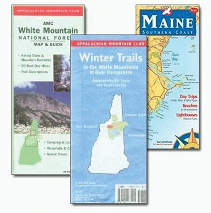
Killington Area Trail Map
Green Mountain ClubGet even closer to Vermont's lush forested areas with the Green Mountain Club Killington Area trail map in hand and on-trail. This dual-sided, weatherproof map folds up easily to fit in a back pocket.
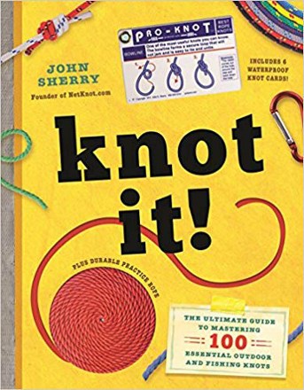
Knot It!
Workman PublishingMaster 100 essential outdoor and fishing knots with the full-color illustrations and clear instructions in Knot It! by John Sherry, a knot-tying educator with more than 25 years of experience.
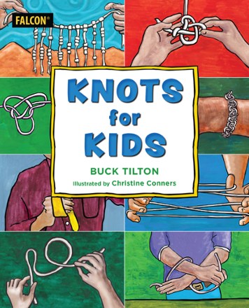
Knots for Kids
FalconGuidesWith step-by-step instructions (for both righties and lefties!) on tying the most used and useful knots, Knots for Kids delivers relevant, expertly curated content perfect for kids.

Kremmling / Granby Topographic Map
National GeographicThe Trails Illustrated Kremmling / Granby topographic map delivers unmatched detail and valuable information to assist you in your exploration of this popular Colorado recreational area.
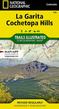
La Garita / Cochetopa Hills Topographic Map
National GeographicThe Trails Illustrated La Garita / Cochetopa Hills topographic map provides unmatched detail of this mountainous and forested area in southern Colorado.
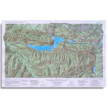
Lake Crescent, Happy Lake Ridge, Washingon Topo-Map
Custom CorrectA custom correct topographic map of the Lake Crescent, Happy Lake Ridge area of Olympic National Park in Washington State

Lake George Boating & Trails Map
Green Goat MapsDetailing water depths, shoals, rocks, picnic areas and campsites, this Lake George Boating & Trails map from Green Goat Maps is the only guide you need to get out and enjoy your time by the lake.