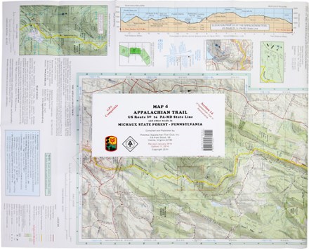

Appalachian Trail Map: US Route 30 to PA-MD State Line and Other Trails
Tech Specs
BrandPATC
Best UseHiking
State / ProvincePennsylvania
Folded Dimensions8.5 x 4 x 0.125 inches
Unfolded Dimensions28 x 17 inches
Map Scale1:24,000
Double SidedYes
PublisherPotomac Appalachian Trail Club
Copyright Year2014
Map Number4
Description
Ready to explore Pennsylvania? This PATC Appalachian Trail Map 4 of US Route 30 to PA-MD State Line covers section 14 of the state's Appalachian Trail in full color.
Features
- Features elevation profiles, gates and barriers; shows where you'll encounter streams, springs, falls and views
- Includes information on shelters, campgrounds, cabins and hostels, plus parking areas
- Covers AT Corridor, state parks, forests and game lands; includes details on trails in Michaux State Forest
- GPS compatible