Filters
No categories available
No brands available
Southeast Maps Deprecated

Pisgah Ranger District-Bent Creek Map
Pisgah Map CoExplore the Land of Waterfalls in Western North Carolina with this Pisgah Ranger District–Bent Creek map. It's ideal for hikers as well as mountain bikers.
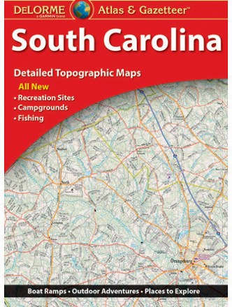
South Carolina Atlas and Gazetteer
DeLormeThe DeLorme South Carolina Atlas and Gazetteer covers the entire Palmetto State in fine detail, from the Grand Strand in Myrtle Beach to the eastern bank of the Savannah River.

Springer and Cohutta Mountains Topographic Map
National GeographicThe detailed Trails Illustrated Springer and Cohutta Mountains topographic map leads you to an abundance of recreational opportunities in the Chattahoochee National Forest, just north of Atlanta.
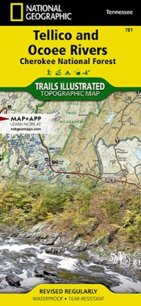
Tellico and Ocoee Rivers Topographic Map
National GeographicThe Trails Illustrated Tellico and Ocoee Rivers topographic map is designed to meet the needs of outdoor enthusiasts seeking to explore the southern section of Cherokee National Forest.

The Blue Wall Trail Map
Pisgah Map CoDiscover the rugged natural beauty of upstate South Carolina with the Blue Wall trail map, highlighting many great hiking, mountain biking and camping opportunities across the region.

Waterfalls of North Carolina Map - 2nd Edition
Discover the beauty of the Southeast with this 2nd edition of the Waterfalls of North Carolina map. It comes complete with GPS coordinates, trailhead directions and beauty ratings for each one.