Paper Maps

Vail, Frisco, and Dillon Topographic Map
National GeographicThe Trails Illustrated Vail, Frisco, and Dillon topographic map is an unparalleled tool for exploring this region of the Colorado Rockies.

Valley of Fire State Park Adventure Guide
Franko's MapsValley of Fire State Park is a geologic wonderland with trails, campsites and ancient, petrified trees and petroglyphs. Use Franko's Maps Valley of Fire State Park Adventure Guide to discover it all.

Vancouver Island, Canada, Map
National GeographicThis National Geographic Vancouver Island Adventure Map provides global travelers with the perfect combination of detail and perspective in a highly functional travel tool.
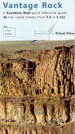
Vantage Rock: A Sunshine Wall Quick-Reference Guide
Composed from several telephoto images taken from across Echo Basin on November 2016, Vantage Rock: A Sunshine Wall Quick-Reference Guide offers a panoramic view of the wall and its climbing routes.

Verdugo Mountains Trail Map
Tom Harrison CartographyThis high-quality, shaded topographic map elaborately details the Verdugo Mountains' motorways and trails.

Virginia Atlas and Gazetteer
DeLormeFrom Chesapeake Bay to the picturesque Blue Ridge Mountains, the DeLorme Virginia Atlas and Gazetteer covers all of Old Dominion in fine detail.
North America MapsNew England and Mid Atlantic Maps - DEPRECATED
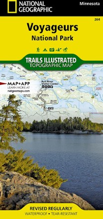
Voyageurs National Park Topographic Map
National GeographicThe Trails Illustrated Voyageurs National Park topographic map combines unmatched detail with helpful information, offering a valuable tool for making the most of your visit to this inspiring region.

Walden / Gould Topographic Map
National GeographicThe Trails Illustrated Walden / Gould topographic map combines unmatched detail with helpful info to offer a valuable tool for making the most of your travels in North Park and the surrounding areas.
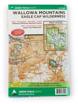
Wallowa Mountains and the Eagle Cap Wilderness Map
Green TrailsFollow the Green Trails Wallowa Mountains and the Eagle Cap Wilderness Map to stunning alpine peaks, lush forests, Native American history and historic frontier towns in northeastern Oregon.

Wasatch Front North Trail Map
National GeographicThis Trails Illustrated folded map offers comprehensive coverage of Utah's Wasatch Front and Strawberry Valley area.

Wasatch Front South Topographic Map
National GeographicThe Trails Illustrated Wasatch Front South topographic map is a comprehensive guide for outdoor enthusiasts enjoying the year-round recreation activities in this region.
Washington Atlas and Gazetteer
DeLormeFrom the summit of Mount Rainier to the west coast of the Olympic Peninsula, the DeLorme Washington Atlas and Gazetteer covers the entire Evergreen state in fine detail.
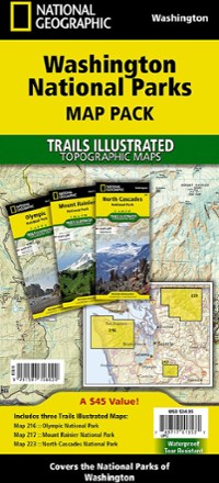
Washington National Parks Topographic Map Pack
National GeographicThe Trails Illustrated Washington National Parks topographic map pack shows you the way to the diverse beauty found in Washington's national parks: Mt. Rainier, Olympic and North Cascades.
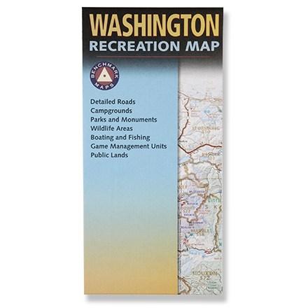
Washington Recreation Map - Folded
Benchmark MapsPlan your next adventure in Washington with this handy recreation map!