Paper Maps
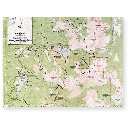
Silver Lake/Carson Pass Map/Guide
This map to the Silver Lake/Carson Pass area also features a concise guide to day hikes in the area.

Sky Lakes Wilderness North Map
Siskiyou Mountain ClubPrinted on high-quality, waterproof and tear-resistant paper, the Sky Lakes Wilderness Area North map from Siskiyou Mountain Club offers comprehensive coverage and plenty of detail to find your way.
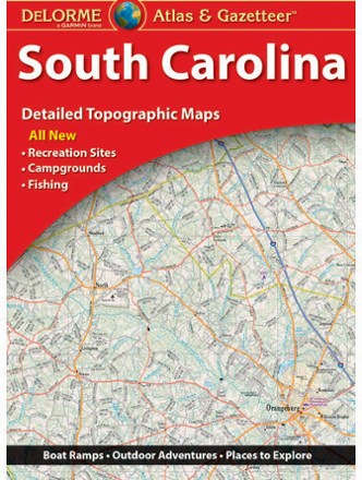
South Carolina Atlas and Gazetteer
DeLormeThe DeLorme South Carolina Atlas and Gazetteer covers the entire Palmetto State in fine detail, from the Grand Strand in Myrtle Beach to the eastern bank of the Savannah River.
South Marin Map
Tom Harrison CartographyVenture north of San Francisco with this Tom Harrison Cartography South Marin map and discover an extensive network of trails throughout the Golden Gate National Recreation Area to hike or bike.
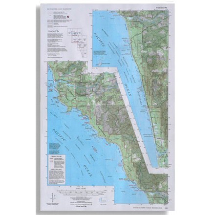
South Olympic Coast Map
Custom CorrectCompiled and rescribed from USGS base maps, this map shows trails along the south Olympic coast of Washington
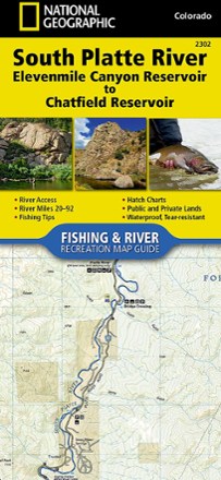
South Platte River Fishing & River Recreation Map Guide: Elevenmile Canyon Reservoir to Chatfield Reservoir
National GeographicA perfect companion for river recreation, the National Geographic South Platte River Fishing & River Map Guide is packed with details and maps to help plan and guide your adventures.
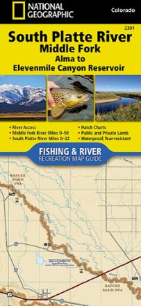
South Platte River Middle Fork Fishing & River Recreation Map Guide
National GeographicA perfect companion for river recreation, the National Geographic South Platte River Middle Fork Fishing & River Map Guide is packed with details and maps to help plan and guide your adventures.
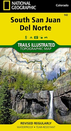
South San Juan / Del Norte Topographic Map
National GeographicTrails Illustrated South San Juan / Del Norte topographic map was expertly researched in partnership with the U.S. Forest Service and Bureau of Land Management to offer accurate, detailed trail info.
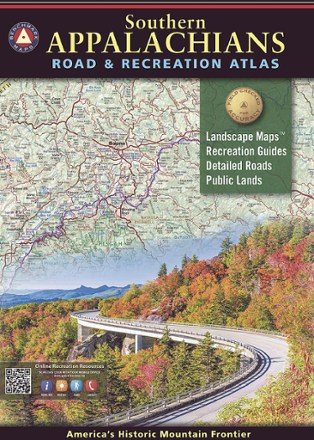
Southern Appalachian Road and Recreation Atlas
Benchmark MapsExplore highways and byways of America's historic mountain frontier with the Benchmark Maps Southern Appalachian Road and Recreation Atlas in the lap of the navigator.
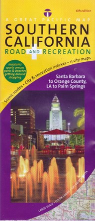
Southern California Road Recreation Map
Enjoy SoCal without getting lost. Printed on a large scale, this Southern California Road Recreation Map features scenic routes and easy-to-read indexes to help you on your next road trip.
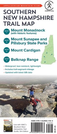
Southern New Hampshire Trail Map
AMCMade to withstand many years of hard use on the trail, the Southern New Hampshire Trail Map from AMC is an indispensable resource for any hiker setting out in the southern half of the Granite State.
North America MapsNew England and Mid Atlantic Maps - DEPRECATED
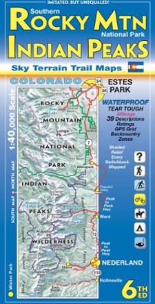
Southern Rocky Mountain National Park and Indian Peaks Wilderness Trails - 6th Edition
Sky Terrain Trail MapsOn trail or on the road, find your way with the waterproof Sky Terrain Southern Rocky Mountain National Park and Indian Peaks Wilderness Trail Map that folds to pocket-size for easy on-trail use.

Southern San Diego County Bikeways and Trails Map
Franko's MapsPedal your way around sunny San Diego county with the comprehensive Franko's Maps Southern San Diego County Bikeways and Trails map.

Southern Sierra Trail Map
Calico MapsA planning map that completely covers the Southern Sierra Nevada region of California, the Calico Maps Southern Sierra trail map is an excellent companion for exploring this amazing, little used area.