Filters
No categories available
No brands available
North America Maps
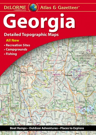
Georgia Atlas and Gazetteer
DeLormeWhether you're headed to the mountains or the coast, make the DeLorme Georgia Atlas and Gazetteer your road trip companion. The detailed maps make navigation and trip planning a breeze.
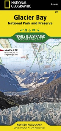
Glacier Bay National Park and Preserve Trail Map
National GeographicThe National Geographic Trails Illustrated Glacier Bay National Park and Preserve trail map offers clear, detailed coverage of this part of southern Alaska's amazing landscape.

Glacier Peak Wilderness Topographic Map
National GeographicThe Trails Illustrated Glacier Peak Wilderness topographic map is an essential travel companion for outdoor enthusiasts exploring this rugged area of Washington state's North Cascades.

Glacier and Waterton Lakes National Parks Outdoor Recreation Map - 2nd Edition
Cairn CartographicsPlan your trip using this Cairn Cartographics map. It covers Montana's Glacier National Park, Alberta's Waterton Lakes National Park and The North Fork of the Flathead River in excellent detail.
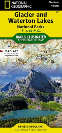
Glacier/Waterton Lakes National Parks Trail Map
National GeographicThis Trails Illustrated folded map offers comprehensive coverage of Glacier and Waterton Lakes national parks in Montana and Alberta.

Glen Canyon NRA Topographic Map
National GeographicThe Trails Illustrated Glen Canyon NRA topographic map is a great reference for outdoor adventure and exploration in this distinctive region of Utah and Arizona.

Goat Rocks, Norse Peak and William O. Douglas Wilderness Areas Topographic Map
National GeographicThe Trails Illustrated Goat Rocks, Norse Peak and William O. Douglas Wilderness Areas topographic map provides unmatched detail to meet the needs of new hikers and experienced outdoor enthusiasts.
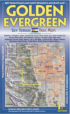
Golden Evergreen Trail Map - 1st Edition
Sky Terrain Trail MapsVenture to the closest mountain parks just west of Denver with the waterproof, pocket-size Sky Terrain Golden Evergreen Trail Map as your navigator to the area's abundance of singletracks and trails.

Grand Canyon National Park Topographic Map Pack
National GeographicThe Trails Illustrated Grand Canyon National Park topographic map pack guides you through this natural wonder, from sightseeing to overnight camping to backcountry itineraries and river float trips.
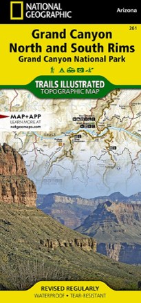
Grand Canyon National Park Trail Map - Bright Angel Canyon/North and South Rims
National GeographicThis Trails Illustrated Grand Canyon National Park trail map offers comprehensive coverage of Bright Angel Canyon and the North and South rims.
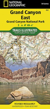
Grand Canyon National Park Trail Map - East
National GeographicThis Trails Illustrated folded map offers comprehensive coverage of the eastern section of Grand Canyon National Park.
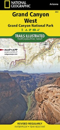
Grand Canyon National Park Trail Map - West
National GeographicThis Trails Illustrated folded map offers comprehensive coverage of the western section of Grand Canyon National Park.

Grand Gulch Plateau Trail Map
National GeographicThis waterproof Trails Illustrated map of Utah's Grand Gulch Plateau in the San Juan Resource Area is a great reference for exploration.
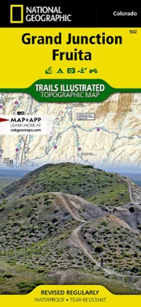
Grand Junction / Fruita Topographic Map
National GeographicPacked with over 500 miles of trails, the Trails Illustrated Grand Junction / Fruita topographic map is ideal for anyone hitting the trails in this outdoor recreation mecca of Colorado.