Filters
No categories available
No brands available
North America Maps

Florida Keys Map
Franko's MapsLooking for a tropical getaway? A haven for fishers, boaters, snorkelers and watersports enthusiasts, the Florida Keys are a must-see. Explore the area with this Florida Keys map from Franko's Maps.
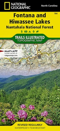
Fontana and Hiwassee Trail Map
National GeographicThis National Geographic Trails Illustrated folded map offers comprehensive coverage of the Fontana and Hiwasse Lakes area of North Carolina.
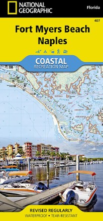
Fort Myers Beach and Naples Coastal Recreation Map
National GeographicLet the National Geographic Fort Myers Beach and Naples Coastal Recreation map guide you, both on land and on water, along the shorelines of southwest Florida.
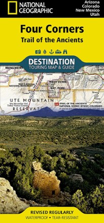
Four Corners: Trail of the Ancients Destination Map
National GeographicThe National Geographic Four Corners: Trail of the Ancients Destination Map combines map and guidebook to display this unique corner of Arizona, Colorado, New Mexico and Utah.

Franco's Kaua'i Guide Map
Franko's MapsBeautifully rendered, shaded-relief imagery is combined with the information you need to get the most out of your exploration of the island of Kaua'i.

Franco's Maui Guide Map
Franko's MapsBeautifully rendered, shaded relief imagery is combined with the information you need to get the most out of your exploration of the island of Maui.
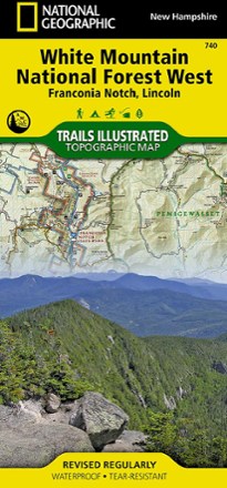
Franconia Notch/North Conway Trail Map
National GeographicThis detailed National Geographic Trails Illustrated folded map offers comprehensive coverage of Franconia Notch and Lincoln in New Hampshire.
North America MapsNew England and Mid Atlantic Maps - DEPRECATED

Franko's Hawaiian Islands Guide Map
Franko's MapsBeautifully rendered, shaded-relief imagery is combined with the information you need to get the most out of your exploration of the Hawaiian Islands.

French Broad Region Trail Guide
Pisgah Map CoDiscover a beautiful outdoor region along the North Carolina-Tennessee border where waterfalls abound with the detailed and obsessively researched Pisgah Map Co. French Broad Region Trail Guide.
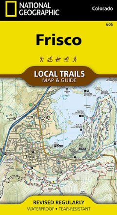
Frisco Local Trails Map & Guide
National GeographicFind year-round opportunities for adventure with this National Geographic Local Trails map and guide of Frisco, Colorado—located at the core of the aptly named Summit County.
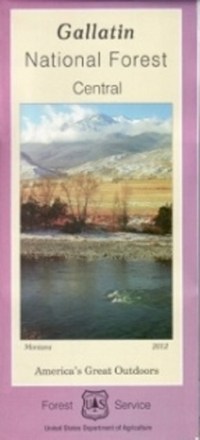
Gallatin National Forest - Central - Map
From fly fishing to epic hikes, there's an endless amount of outdoor adventure in the Gallatin national forest. Explore the forest's central portion with the help of the Gallatin National Forest map.
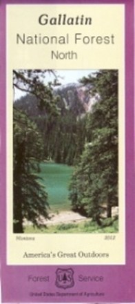
Gallatin National Forest - North - Map
Plan an adventure in the northern portion of Gallatin national forest with the help of the Gallatin National Forest map, featuring the rugged Bridger, Crazy and Bangtail mountains.
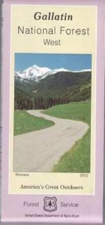
Gallatin National Forest - West - Map
Covering the Gallatin, Madison and Henry's Lake mountain ranges, the Gallatin National Forest - West - map helps you plan and prepare for an outdoor adventure in the forest's western region.
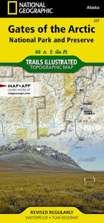
Gates of the Arctic National Park and Preserve Trail Map
National GeographicThis Trails Illustrated folded map offers concise, comprehensive coverage of the Gates of the Arctic National Park and Preserve Trail areas in Alaska.