Filters
No categories available
No brands available
North America Maps

Cherokee and Pisgah National Forests Topographic Map
National GeographicThe detailed Trails Illustrated Cherokee and Pisgah National Forests topographic map offers concise and colorful coverage of the French Broad and Nolichucky rivers in Tennessee and North Carolina.
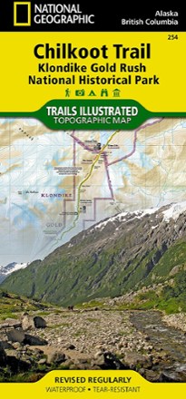
Chilkoot Trail/Klondike Gold Rush National Historic Park Topographic Map
National GeographicCreated with local land management agencies, the expertly researched National Geographic Chilkoot Trail topographic map will help you explore, hike, camp and view wildlife in this rugged frontier.

Chuckanut Recreation Area Map
Square One MapsWith rain a constant battle in the PNW, the waterproof Chuckanut Recreation Area map still gets you out to the region's best nature trails and parks, regardless of the day's forecast.
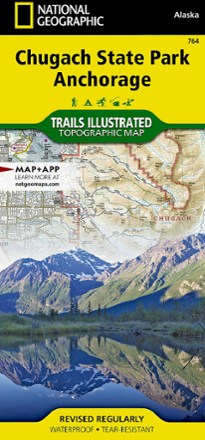
Chugach State Park / Anchorage Topographic Map
National GeographicThe Trails Illustrated Chugach State Park / Anchorage topographic map combines unmatched detail with helpful info to offer an invaluable tool for making the most of your visit to this exciting region.
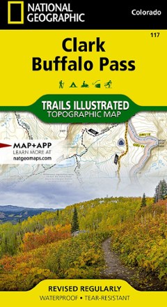
Clark / Buffalo Pass Topographic Map
National GeographicCreated in cooperation with the U.S. Forest Service and other land agencies, the Trails Illustrated Clark / Buffalo Pass topographic map delivers detailed coverage of this region of northern Colorado.

Classic Moab Trails - 8th Edition
Latitude 40 MapsExplore the best Moab has to offer with this Latitude 40 Maps Classic Moab Trails map. It's accurate, detailed and durable enough to use on the move, rain or shine.
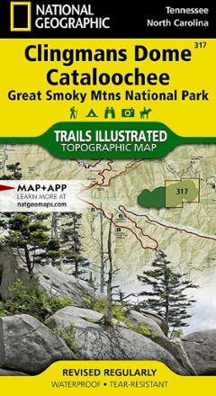
Clingmans Dome / Cataloochee Topographic Map
National GeographicThe Trails Illustrated Clingmans Dome / Cataloochee topographic map covers the eastern part of Great Smoky Mountains National park, from Sugarlands to Pisgah National Forest.
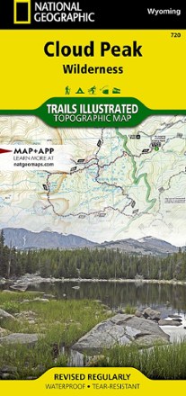
Cloud Peak Wilderness Map
National GeographicDiscover the wildest section of the Bighorn Mountains with this Cloud Peak Wilderness map from National Geographic Trails Illustrated. It offers vivid detail and a waterproof, rugged construction.

Collegiate Peaks Wilderness Area Topographic Map
National GeographicThe Trails Illustrated Collegiate Peaks Wilderness Area topographic map delivers incredible detail and valuable information to assist you in your exploration of this breathtaking wilderness.

Colorado 14ers - Blanca Peak/Ellingwood Point/Little Bear Peak Trail Map
Pocket Pals Trail MapsPocket-size, durable and detailed, the Pocket Pals Colorado 14ers - Blanca Peak/Ellingwood Point/Little Bear Peak trail map contains detailed info on trailheads and routes for hikers and climbers.
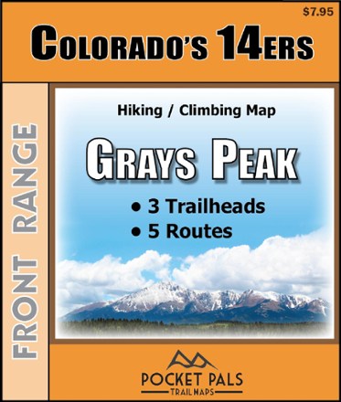
Colorado 14ers - Grays Peak Trail Map
Pocket Pals Trail MapsPocket-size, durable and detailed, the Pocket Pals Colorado 14ers - Grays Peak trail map contains detailed information on 3 trailheads and 5 routes for hikers and climbers.
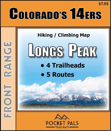
Colorado 14ers - Longs Peak Trail Map
Pocket Pals Trail MapsPocket-size, durable and detailed, the Pocket Pals Colorado 14ers - Longs Peak trail map contains detailed information on 4 trailheads and 5 routes for hikers and climbers.

Colorado 14ers - Mt. Bierstadt Trail Map
Pocket Pals Trail MapsPocket-size, durable and detailed, the Pocket Pals Colorado 14ers - Mt. Bierstadt trail map contains detailed information on 3 trailheads and 5 routes for hikers and climbers.
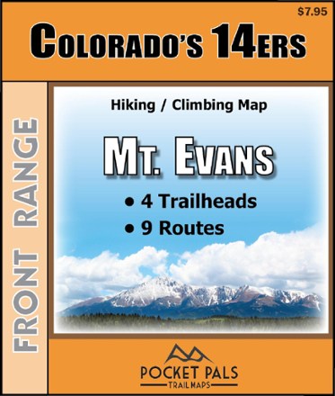
Colorado 14ers - Mt. Evans Trail Map
Pocket Pals Trail MapsPocket-size, durable and detailed, the Pocket Pals Colorado 14ers - Mt. Evans trail map contains detailed information on 4 trailheads and 9 routes for hikers and climbers.