
Colorado 14ers - Longs Peak Trail Map
Tech Specs
Best UseHiking
State / ProvinceColorado
Folded Dimensions4.25 x 3.625 x 0.1 inches
Unfolded Dimensions17 x 11 x 1 inches
Map Scale1:39,000
Double SidedYes
WaterproofYes
PublisherOutdoors LLC
Copyright Year2015
SustainabilityContains Forest Stewardship Council (FSC) certified materials
Description
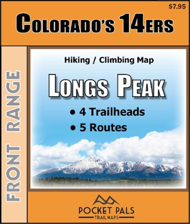
Pocket-size, durable and detailed, the Pocket Pals Colorado 14ers - Longs Peak trail map contains detailed information on 4 trailheads and 5 routes for hikers and climbers.
Features
- Provides all the important details to plan a trip and stay on track—trail length, difficulty level, total elevation gain/loss, landmarks and directions to the trailhead
- Routes: Keyhole (Standard), Loft, Keplinger's Couloir, Glacier Gorge/N. Longs Peak, Boulder Brook
- Trailheads: Sandbeach (Copeland Lake), Glacier Gorge, Storm Pass, Longs Peak
- Includes waypoints (such as stream crossings, trail intersections, unique geologic features, overlooks, structural ruins, etc.) to identify along the way
- Waterproof, tear-resistant map stands up to use out on the trails
- Perfectly sized to fit in your pocket, making it easy to take with you