Filters
No categories available
No brands available
New England And Mid Atlantic Maps
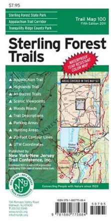
Sterling Forest Trails Map - 8th Edition
New York New Jersey TrailFeaturing more than 175 mi. of marked trails in Sterling Forest State Park and nearby parklands, this Sterling Forest Trails map is a must-have for planning your New York State adventure.
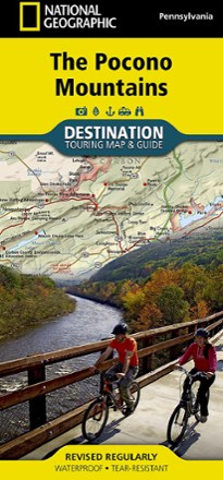
The Pocono Mountains Destination Touring Map & Guide
National GeographicThe National Geographic Pocono Mountains destination touring map and guide combines gorgeous shaded relief with detailed info for exploring the wooded hills and valleys of northeastern Pennsylvania.
North America MapsNew England and Mid Atlantic Maps - DEPRECATED
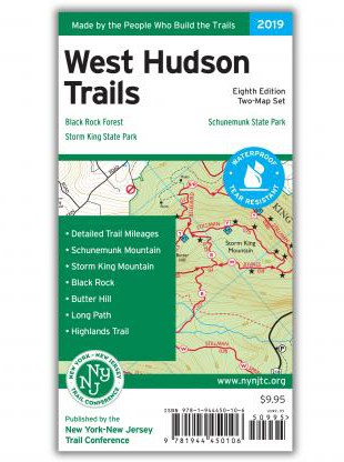
West Hudson Trails Map Set - 8th Edition
New York New Jersey TrailWith 2 maps covering nearly 70 miles of marked trails, the 8th edition of the West Hudson Trails map set is a must-have for exploring parklands west of the Hudson River in Orange County, New York.

Westchester Trails Map
New York New Jersey TrailCovering over 160 miles of marked trails, the Westchester Trails map is a must-have guide to explore the vast trail systems within the parks and wilderness areas of Westchester County, New York.
North America MapsNew England and Mid Atlantic Maps - DEPRECATED
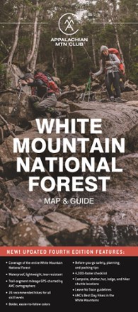
White Mountain National Forest Map and Guide
AMCIf you can only have one map for hiking in the White Mountains, the AMC White Mountain National Forest Map and Guide is the one you will want to carry for your on-foot adventures.
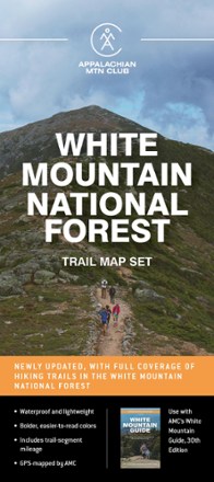
White Mountain National Forest Trail Map Set
AMCHike farther; explore more. Designed for on-the-go use, the AMC White Mountain National Forest trail map set includes 6 waterproof maps that can withstand years of rugged backcountry treks.

White Mountain Winter Recreation Map & Guide
AMCFully updated for the first time in decades, this map and guide from AMC provides explorers the only trail map of the White Mountain National Forest specifically designed for winter recreation.

White Mountains - 6th Edition
Map AdventuresTime to explore the New Hampshire wild. This 6th-edition White Mountains map features even more coverage than before, including all of the Granite State's 4,000-footers.

White Mountains Map Pack
National GeographicThe Trails Illustrated White Mountains map pack combines 2 detailed maps that offer comprehensive coverage of the White Mountains in Vermont and New Hampshire..
North America MapsNew England and Mid Atlantic Maps - DEPRECATED
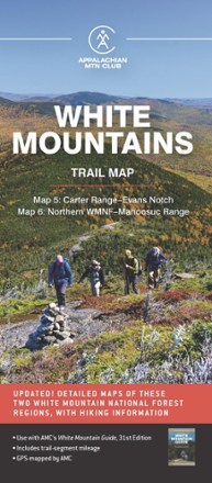
White Mountains Trail Map: Carter Range - Evans Notch & Northern WMNF - Mahoosuc Range
AMCWith detailed trail data and updated info, the AMC White Mountains Trail Maps 5 and 6 guide you through the Carter Range, Evans Notch, North Country and the Mahoosuc Range.
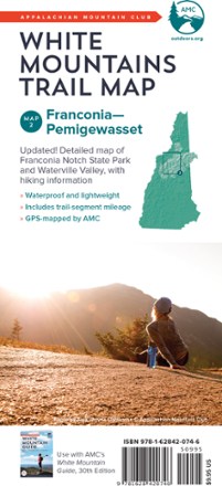
White Mountains Trail Map: Franconia - Pemigewasset
AMCFind your way through Franconia Notch State Park and Pemigewasset Wilderness Area of White Mountain National Forest with the completely waterproof AMC White Mountains trail map 2.
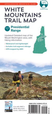
White Mountains Trail Map: Presidential Range
AMCBecause foul weather is bound for any route, the AMC White Mountains: Presidential Range trail map is completely waterproof to guide you across the summits of New Hampshire named after presidents.
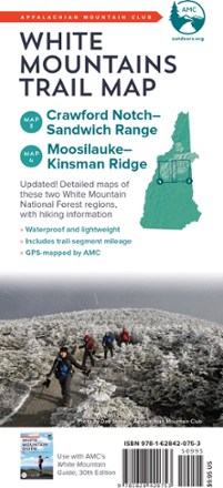
White Mountains Trail Maps: Carter Notch - Sandwich Range & Moosilauke - Kinsman Ridge
AMCFind your way through Crawford Notch, the Sandwich Range, and the Moosilauke and Kinsman Ridge regions of the White Mountains with the completely waterproof AMC White Mountains trail maps 3 and 4.