Filters
No categories available
No brands available
New England And Mid Atlantic Maps

Northern New Jersey Highlands Trails - 13th Edition
New York New Jersey TrailThe revised Northern New Jersey Highlands Trails Map is a 4-map set with more than 360 mi. of marked trails and more than 40 parks and preserves in the northern Highlands region of New Jersey.
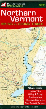
Northern Vermont Hiking & Biking Trails Map
Map AdventuresDiscover some of the best hikes and MTB rides along mountain summits, pristine lakes, hidden footpaths and open fields with the Map Adventures Northern Vermont hiking & biking trails map.
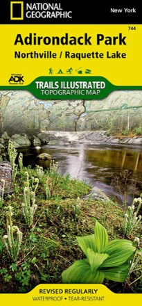
Northville/Raquette Lake Trail Map
National GeographicThis highly detailed Trails Illustrated folded map offers clear, concise coverage of Northville and Raquette Lake in New York.
North America MapsNew England and Mid Atlantic Maps - DEPRECATED
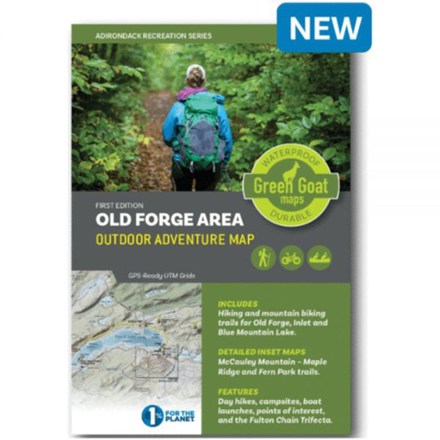
Old Forge Area Outdoor Adventure Map
Green Goat MapsYour guide to outdoor adventures in the Adirondack Park from Old Forge and Blue Mountain Lake, Green Goat Maps The Old Forge Area map shows trail networks, boat access sites and points of interest.
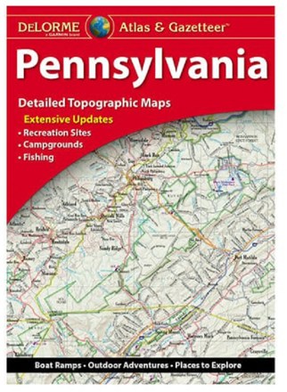
Pennsylvania Atlas and Gazetteer
DeLormeFrom the banks of the Delaware River to the Allegheny National Forest, the DeLorme Pennsylvania Atlas and Gazetteer covers the entire Keystone State in fine detail.
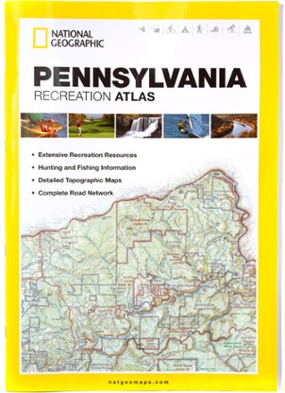
Pennsylvania Recreation Atlas
National GeographicThe National Geographic Pennsylvania Recreation Atlas offers detailed topographic maps, complete road networks and extensive recreation resources for the Keystone State.
North America MapsNew England and Mid Atlantic Maps - DEPRECATED

Raystown Lake Pennsylvania
Purple Lizard MapsBring along the rip-resistant, waterproof, topographic Purple Lizard Maps Raystown map to help you plan all your adventures on and around Raystown Lake in Pennsylvania.
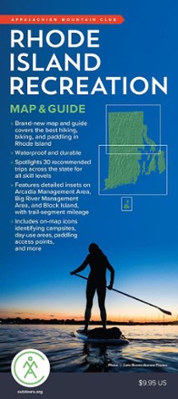
Rhode Island Recreation Map & Guide
AMCThough small in area, Rhode Island is packed with plenty of recreation to enjoy, and the AMC Rhode Island Recreation map and guide is your resource to the best hiking, cycling and paddling around.
North America MapsNew England and Mid Atlantic Maps - DEPRECATED
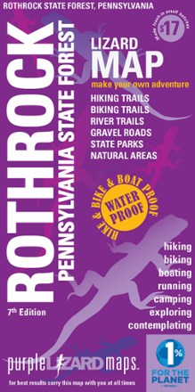
Rothrock Pennsylvania State Forest Map - 7th Edition
Purple Lizard MapsThe Purple Lizard Rothrock map will help you plan all your adventures in and around Rothrock State Forest, located minutes from State College and Penn State.
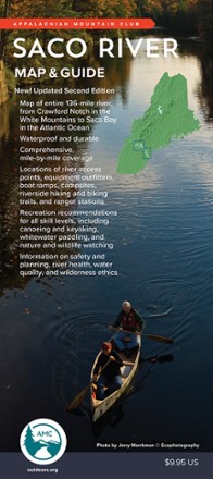
Saco River Map & Guide
AMCFrom Crawford Notch in the White mountains to Saco Bay in the Atlantic Ocean, the Saco River flows through some of the most scenic land in the Northeast. This map and guide charts the 136-mile course.
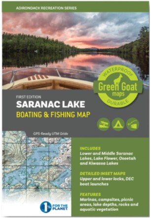
Saranac Lake Boating & Fishing Map
Green Goat MapsShowing you water depths and campsites plus rocks, vegetation beds and navigation buoys, this Green Goat Saranac Lake Boating & Fishing map helps anglers and paddlers explore the area with confidence.

Shawangunk Mountains Map
National GeographicA comprehensive guide to recreational opportunities, the National Geographic Shawangunk Mountains map was created in cooperation with land management agencies and preservation organizations.
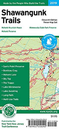
Shawangunk Trails Map Set - 11th Edition
New York New Jersey TrailWith 3 maps detailing more than 200 mi. of maintained trails and carriage roads, the 11th edition of the Shawangunk Trails map set is a must-have for exploring the special features of the region.
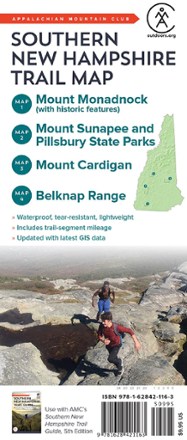
Southern New Hampshire Trail Map
AMCMade to withstand many years of hard use on the trail, the Southern New Hampshire Trail Map from AMC is an indispensable resource for any hiker setting out in the southern half of the Granite State.
North America MapsNew England and Mid Atlantic Maps - DEPRECATED