Filters
No categories available
No brands available
Mountain West Maps Deprecated
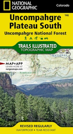
Uncompahgre Plateau South Topographic Map
National GeographicThe Trails Illustrated Uncompahgre Plateau South Map is created for outdoor enthusiasts exploring the year-round recreational opportunities in this unique area of southwestern Colorado.
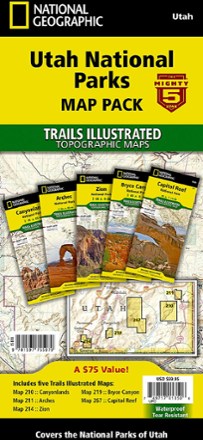
Utah National Parks Map Pack
National GeographicThe Trails Illustrated Utah National Parks map pack combines 5 iconic national parks in the high desert of Utah into a single, easy-to-use bundle.
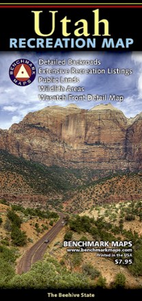
Utah Recreation Map
Benchmark MapsAn ideal planning tool for everything outdoors, the Utah Recreation Map is your detailed guide for day hikes and longer adventures alike in one of the Beehive State's rugged parks or wilderness areas.
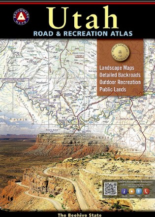
Utah Road & Recreation Atlas - 8th Edition
Benchmark MapsExplore the Beehive State with the Benchmark Maps Utah Road and Recreation Atlas as your navigator. Its filled with easy-to-read, shade-relief maps and loads of recreation activities to stop off for.

Wasatch Front North Trail Map
National GeographicThis Trails Illustrated folded map offers comprehensive coverage of Utah's Wasatch Front and Strawberry Valley area.

Wasatch Front South Topographic Map
National GeographicThe Trails Illustrated Wasatch Front South topographic map is a comprehensive guide for outdoor enthusiasts enjoying the year-round recreation activities in this region.
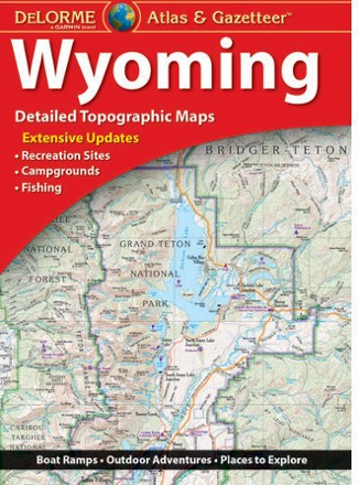
Wyoming Atlas and Gazetteer
DeLormeWhen more than half the state is public land, you know there's a ton to explore. The DeLorme Wyoming Atlas and Gazetteer covers the entire Equality State in fine detail.
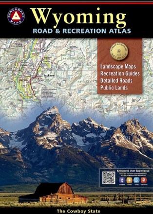
Wyoming Road & Recreation Atlas - 4th Edition
Benchmark MapsSee all the beauty of Wyoming from the road with the Benchmark Maps Wyoming Road and Recreation Atlas as your navigator, with vivid, shade-relief maps and recreational details to stop off and enjoy.
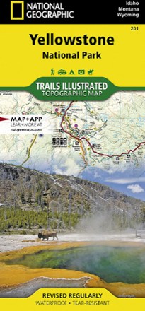
Yellowstone National Park Trail Map
National GeographicThis Trails Illustrated folded map offers comprehensive coverage of the unmatched splendor and unique natural features of Yellowstone National Park.
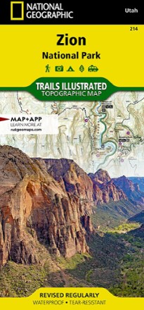
Zion National Park Map
National GeographicThis National Geographic Trails Illustrated folded map offers comprehensive coverage of Zion National Park in Utah.