Filters
No categories available
No brands available
Midwest Maps Deprecated
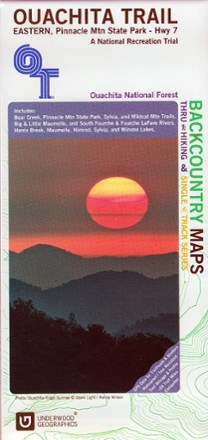
Ouachita Trail Eastern Map: Pinnacle Mountain State Park-Highway 7
See the best of the Ozarks! One of 3 maps covering this trail, the Ouachita Trail Eastern topographic hiking map covers the eastern section of the trail from Pinnacle Mountain State Park to Highway 7.

Ouachita Trail Western Map: Talimena State Park-Turner Gap Shelter
See the best of the Ozarks! One of 3 maps covering this trail, the Ouachita Trail Western topographic hiking map covers the western section of the trail from Talimena State Park to Turner Gap shelter.

Voyageurs National Park Topographic Map
National GeographicThe Trails Illustrated Voyageurs National Park topographic map combines unmatched detail with helpful information, offering a valuable tool for making the most of your visit to this inspiring region.
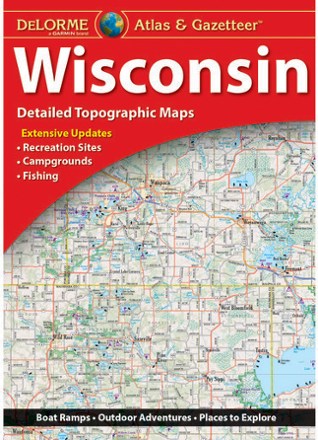
Wisconsin Atlas and Gazetteer
DeLormeFrom the shores of Lake Superior and Lake Michigan to the forests and bluffs of the Western Upland, the DeLorme Wisconsin Atlas and Gazetteer covers the entire Badger State in fine detail.

Wisconsin's Door Peninsula Destination Map
National GeographicTrails Illustrated Wisconsin's Door Peninsula Destination Map strikes a balance between travel map and guidebook—a great resource for touring this culturally and geographically unique region.