Media

Paddling Maryland and Washington, DC
FalconGuidesLook inside this handy paddling guidebook to find descriptions, directions, GPS coordinates for put-ins and takeouts, and maps with access points and landmarks throughout Maryland and Washington, DC.
North America Paddling GuidebooksNew England and Mid Atlantic Paddling Guidebooks - DEPRECATED
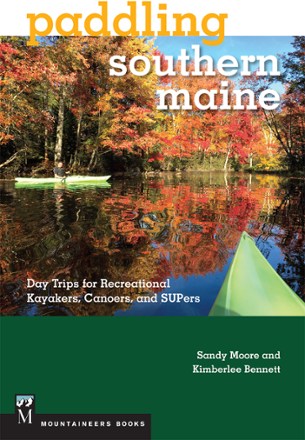
Paddling Southern Maine: Day Trips for Recreational Kayakers, Canoers and SUPers
Mountaineers BooksYour guide to one of North America's premier paddling destinations, Paddling Southern Maine: Day Trips for Recreational Kayakers, Canoers and SUPers helps you find the outing you're looking for.
North America Paddling GuidebooksNew England and Mid Atlantic Paddling Guidebooks - DEPRECATED

Paddling Texas
FalconGuidesFrom the canyons of Big Bend to the cypress swamps of Pine Island Bayou, the waters of Texas have something for every paddler. Get out and explore the Lone Star State with FalconGuides Paddling Texas.

Paddling Washington
Mountaineers BooksDiscover 112 flatwater and whitewater routes in this definitive paddling guide to Washington.
North America Paddling GuidebooksWashington and Oregon Paddling Guidebooks - DEPRECATED
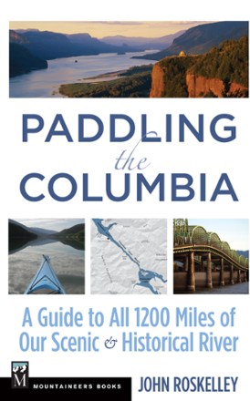
Paddling the Columbia: A Guide to All 1200 Miles of Our Scenic & Historical River
Mountaineers BooksBeginning at the river's headwaters on Columbia Lake in British Columbia, Paddling the Columbia provides comprehensive information for traveling its full 1,245 miles to the Pacific Ocean.

Paddling the Northern Forest Canoe Trail
Down EastExplore the rich indigenous and forestry history of New Hampshire with the help of Paddling the Northern Forest Canoe Trail. It takes you through pockets of pristine backwoods full of wildlife.
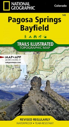
Pagosa Springs and Bayfield Area Trail Map
National GeographicThis Trails Illustrated folded map offers comprehensive coverage of Pagosa Springs and Bayfield in Colorado.
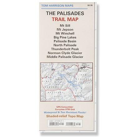
Palisades Trail Map
Tom Harrison CartographyPrinted on waterproof plastic for durability, this is a complete shaded-relief topographic map of the trails of the Palisades area.
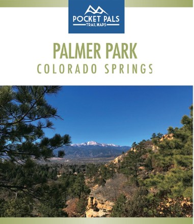
Palmer Park, Colorado Springs Trail Map
Pocket Pals Trail MapsThe largest park in the Springs, Palmer Park is a perfect place to get deep into nature while still being in the middle of a city. Explore it with this Pocket Pals Palmer Park, Colorado Springs map.

Paracord Projects for Camping and Outdoor Survival
A strand of paracord can save your life. In this book, Paracord Projects for Camping and Outdoor Survival, Bryant Linch teaches how to make important knots and different ways to carry your paracord.

Paria Canyon and Kanab Topographic Map
National GeographicThe Trails Illustrated Paria Canyon and Kanab topographic map leads the way to a colorful landscape of sandstone cliffs, slot canyons and winding waterways straddling the border of Arizona and Utah.
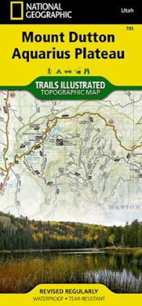
Paunsaugunt Plateau, Mount Dutton & Bryce Canyon Topographic Map
National GeographicFrom Black Butte to Pink Cliffs, journey through southern Utah's dramatic scenery with the National Geographic Paunsaugunt Plateau, Mount Dutton & Bryce Canyon topographic map as your guide.
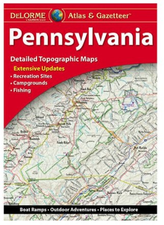
Pennsylvania Atlas and Gazetteer
DeLormeFrom the banks of the Delaware River to the Allegheny National Forest, the DeLorme Pennsylvania Atlas and Gazetteer covers the entire Keystone State in fine detail.

Pennsylvania Off the Beaten Path - 13th Edition
Globe Pequot PressTired of the same old tourist traps? Whether you're a visitor or a local looking for something different, let Pennsylvania Off the Beaten Path show you the Keystone State you never knew existed.
Camping and Hiking GuidebooksNorth America Hiking Guidebooks