Media
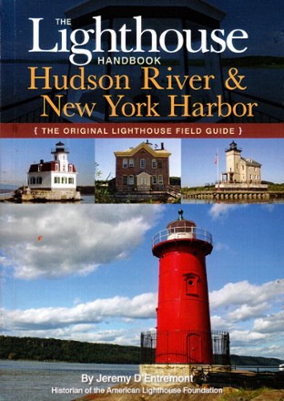
Lighthouse Handbook: Hudson River & New York Harbor
Get to know the lighthouses that light the way up the Hudson River to Albany. The Lighthouse Handbook: Hudson River & New York Harbor guides you through their histories and current status.
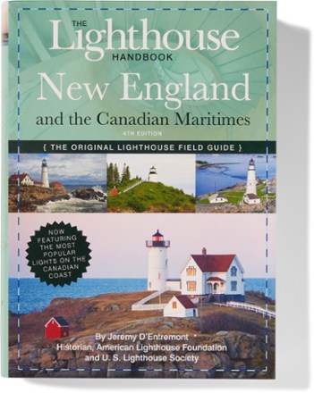
Lighthouse Handbook: New England
A perfect companion for lighthouse buffs, this travel-friendly, full-color Lighthouse Handbook explores each of New England's lighthouses and their history, as well as several Canadian lighthouses.
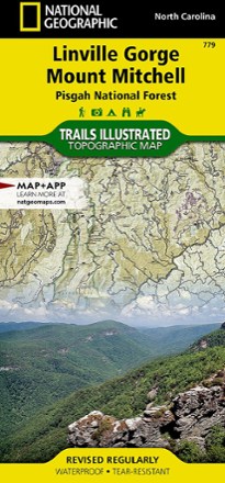
Linville Gorge / Mount Mitchell Topographic Map
National GeographicThe Trails Illustrated Linville Gorge / Mount Mitchell topographic map provides an unparalleled tool for exploring these remarkable features within Pisgah National Forest.

Lipsmackin' Backpackin' - 3rd Edition
FalconGuidesNot a fan of bland, boring and lifeless meals after a hard day of backpacking? Neither are the Conners, which is why you'll love their revised edition of Lipsmackin' Backpackin'.

Lipsmackin' Vegetarian Backpackin'
FalconGuidesGo meatless! The slim volume of Lipsmackin' Vegetarian Backpackin' offers plentiful ideas for delicious, quick and easy meals on the trail.

Living Beaches of the Gulf Coast
Do you love beachcombing? Now you can learn more about the life along the coast of Texas, Louisiana, Mississippi, Alabama and the Florida Panhandle with Living Beaches of the Gulf Coast.
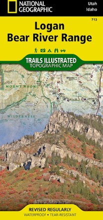
Logan / Bear River Range Topographic Map
National GeographicThe Trails Illustrated Logan / Bear River Range topographic map offers unparalleled detail for outdoor enthusiasts looking to explore this area of Colorado in any season.
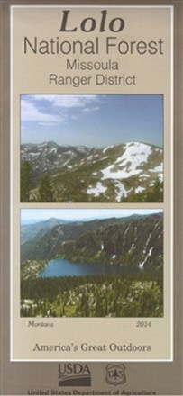
Lolo National Forest - Missoula Ranger District Map
Discover 40,000 acres of public lands ready for hiking, mountain biking, horseback riding and more in the Missoula Ranger District. Plan your outdoor adventure with this map of Lolo National Forest.
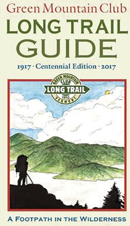
Long Trail Guide - 28th Edition
Green Mountain ClubCommemorating 100 years since its first publishing, the Green Mountain Club Long Trail Guide covers all of the 272-mile trail, plus 225 miles of side trails to explore along the Green Mountain Range.
Camping and Hiking GuidebooksNorth America Hiking Guidebooks
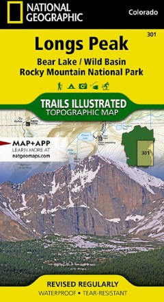
Longs Peak Trail Map
National GeographicThis National Geographic Trails Illustrated folded map offers comprehensive coverage of Longs Peak, Bear Lake and Wild Basin in Colorado.
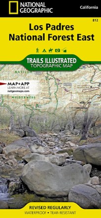
Los Padres National Forest East Trail Map
National GeographicThe National Geographic Los Padres National Forest East trail map leads you through amazing recreation opportunities in one of California's most diverse forests.

Los Padres National Forest West Map
National GeographicThe Trails Illustrated Los Padres National Forest West map guides you through diverse ecosystems and scenic wildlife habitats, from wild seacoasts to forests, grasslands and semi-desert areas.

Mad River Valley Trail Map
Map AdventuresPacked with up-to-date, researched trail information, the Map Adventures Mad River Valley trails map is your guide to hiking, biking and skiing in Vermont's Mad River Valley.
North America MapsNew England and Mid Atlantic Maps - DEPRECATED

Maine Atlas and Gazetteer - 2022 Edition
DeLormeA great companion for outdoor recreation and trip planning, the DeLorme Maine Atlas and Gazetteer covers the Pine Tree State in fine detail, from the rugged coastline to the densely forested interior.