Filters
No categories available
No brands available
Colorado Maps
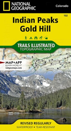
Indian Peaks/Gold Hill Trail Map
National GeographicThis Trails Illustrated folded map offers comprehensive coverage of the Indian Peaks and Gold Hill areas in Colorado.
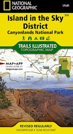
Island in the Sky District: Canyonlands National Park Topographic Map
National GeographicThe Trails Illustrated Island in the Sky District: Canyonlands National Park topographic map combines unmatched detail with helpful info to make the most of your visit to this extraordinary region.
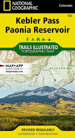
Kebler Pass / Paonia Reservoir Topographic Map
National GeographicThe Trails Illustrated Kebler Pass / Paonia Reservoir topographic map offers outdoor enthusiasts unparalleled detail of this untamed mountainous area with endless recreational opportunities.

Kremmling / Granby Topographic Map
National GeographicThe Trails Illustrated Kremmling / Granby topographic map delivers unmatched detail and valuable information to assist you in your exploration of this popular Colorado recreational area.
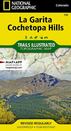
La Garita / Cochetopa Hills Topographic Map
National GeographicThe Trails Illustrated La Garita / Cochetopa Hills topographic map provides unmatched detail of this mountainous and forested area in southern Colorado.
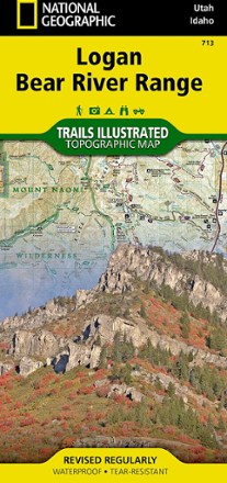
Logan / Bear River Range Topographic Map
National GeographicThe Trails Illustrated Logan / Bear River Range topographic map offers unparalleled detail for outdoor enthusiasts looking to explore this area of Colorado in any season.
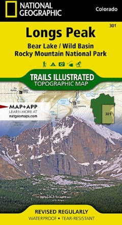
Longs Peak Trail Map
National GeographicThis National Geographic Trails Illustrated folded map offers comprehensive coverage of Longs Peak, Bear Lake and Wild Basin in Colorado.
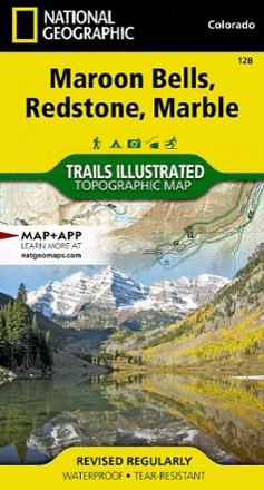
Maroon Bells/Redstone/Marble Trail Map
National GeographicThis informative Trails Illustrated map will help you plan trips and explore the area in and around Colorado's Maroon Bells, Redstone and Marble.
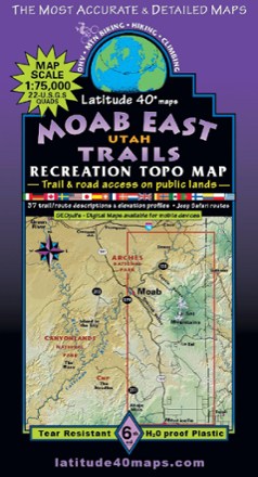
Moab East Utah Trails Map - 6th Edition
Latitude 40 MapsExplore the trails and roads of Moab East with the Latitude 40 Moab East Utah Trails Map, a full-color, waterproof topographic map leading you across an incredible stretch of eastern Utah.
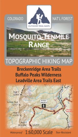
Mosquito-Tenmile Range Topographic Map
Outdoor Trail MapsPlan your own adventure with the tough, compact Mosquito-Tenmile Range topographic map. It shows all the hiking trails in the Mosquito Range and its subrange, the Tenmile Range, of central Colorado.

Mount Zirkel Wilderness Topographic Map
Outdoor Trail MapsPlan your own adventure with the compact Mount Zirkel Wilderness topographic map. It shows hiking trails in the Mount Zirkel Wilderness in the Park Range of northern Colorado near Steamboat Springs.
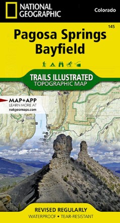
Pagosa Springs and Bayfield Area Trail Map
National GeographicThis Trails Illustrated folded map offers comprehensive coverage of Pagosa Springs and Bayfield in Colorado.
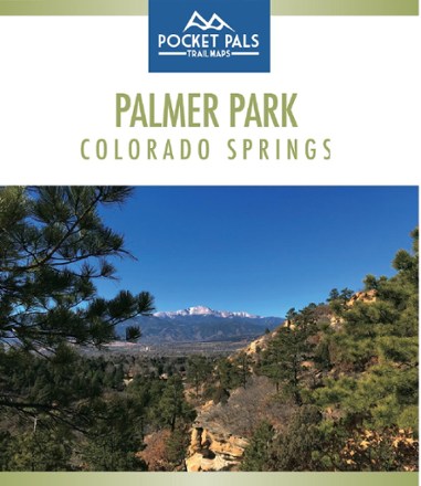
Palmer Park, Colorado Springs Trail Map
Pocket Pals Trail MapsThe largest park in the Springs, Palmer Park is a perfect place to get deep into nature while still being in the middle of a city. Explore it with this Pocket Pals Palmer Park, Colorado Springs map.
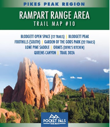
Pikes Park Region: Rampart Range Area Trail Map #10
Pocket Pals Trail MapsExplore the trails of Pike National Forest—including 34 in Blodgett Open Space and Garden of the Gods Park—with this pocket-sized and detailed Pikes Pea Region: Rampart Range Area Trail Map #10.