Filters
No categories available
No brands available
Colorado Maps Deprecated
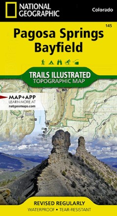
Pagosa Springs and Bayfield Area Trail Map
National GeographicThis Trails Illustrated folded map offers comprehensive coverage of Pagosa Springs and Bayfield in Colorado.

Pikes Peak / Canon City Topographic Map
National GeographicThe Trails Illustrated Pikes Peak / Canon City topographic map offers detailed coverage of the highest summit in the southern Front Range of the Rocky Mountains.
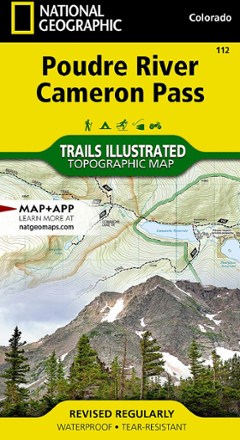
Poudre River and Cameron Pass Map
National GeographicThis National Geographic Trails Illustrated folded map offers comprehensive coverage of the Poudre River and Cameron Pass areas in Colorado.

Rand Stillwater Pass Topographic Map
National GeographicThe detailed Trails Illustrated Rand Stillwater Pass topographic map is perfect for outdoor enthusiasts exploring this pristine mountainous area just outside of Rocky Mountain National Park.

Red Feather Lakes / Glendevey Topographic Map
National GeographicThe Trails Illustrated Red Feather Lakes / Glendevey topographic map provides unmatched detail of this mountainous area in north central Colorado.
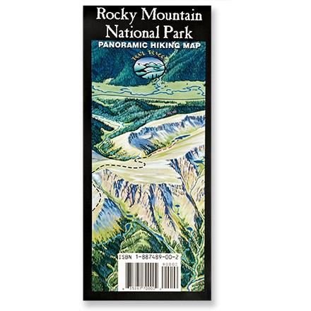
Rocky Mountain National Park Map
Trail TracksA trail map for the rest of us! Trail Tracks panoramic hiking trail map of Rocky Mountain National Park shows a trail's difficulty with color-coding.

Rocky Mountain National Park Topographic Map Pack
National GeographicThe Trails Illustrated Rocky Mountain National Park topographic map pack includes 2 maps: an overview map of the entire national park and an enlarged map focusing on Longs Peak.
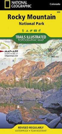
Rocky Mountain National Park Trail Map
National GeographicThis National Geographic Trails Illustrated folded map offers comprehensive coverage of Rocky Mountain National Park in Colorado.
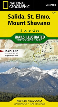
Salida / St. Elmo / Shavano Peak Topographic Map
National GeographicThe Trails Illustrated Salida / St. Elmo / Shavano Peak topographic map offers unparalleled detail for outdoor enthusiasts exploring this area in the heart of Colorado's San Isabel National Forest.
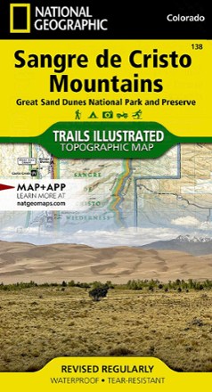
Sangre De Cristo Mountains Trail Map
National GeographicThis detailed Trails Illustrated map from National Geographic offers comprehensive coverage of the beautiful Sangre de Cristo mountains in Colorado.
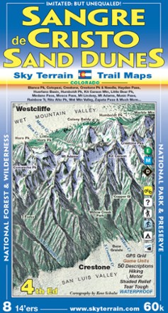
Sangre de Cristo and Great Sand Dunes Trail Map - 4th Edition
Sky Terrain Trail MapsWith an area that includes 8 Fourteeners and 53 Thirteeners, you'll find spectacular scenery on the trails with the pocket-size Sky Terrain Sangre de Cristo and Great Sand Dunes Trail Map.
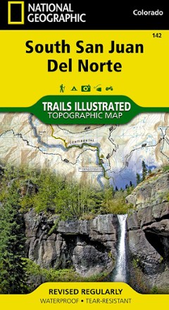
South San Juan / Del Norte Topographic Map
National GeographicTrails Illustrated South San Juan / Del Norte topographic map was expertly researched in partnership with the U.S. Forest Service and Bureau of Land Management to offer accurate, detailed trail info.
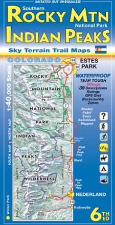
Southern Rocky Mountain National Park and Indian Peaks Wilderness Trails - 6th Edition
Sky Terrain Trail MapsOn trail or on the road, find your way with the waterproof Sky Terrain Southern Rocky Mountain National Park and Indian Peaks Wilderness Trail Map that folds to pocket-size for easy on-trail use.

State Bridge/Burns Trail Map
National GeographicThis Trails Illustrated folded map offers colorful, comprehensive coverage for outdoor exploration in Colorado's State Bridge and Burns area.