Filters
No categories available
No brands available
Colorado Maps Deprecated

Colorado Uncompahgre Wilderness Map
Outdoor Trail MapsThe Colorado Uncompahgre Wilderness topographic hiking map shows all of the hiking trails in this wilderness area spanning 103,000 acres in southwest Colorado's San Juan Mountains.

Colorado Vasquez/Byers/Ptarmigan Peak Wilderness Map
Outdoor Trail MapsThis Colorado Vasquez/Byers/Ptarmigan Peak Wilderness topographic hiking map shows all of the hiking trails in 3 wilderness areas spanning the Continental Divide over the central Front Range.
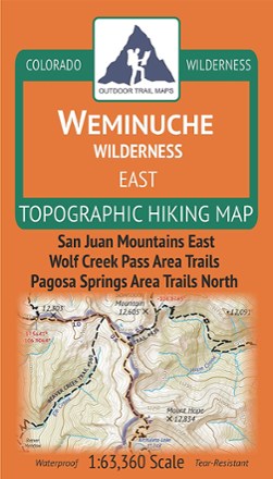
Colorado Weminuche Wilderness East Map
Outdoor Trail MapsThe Colorado Weminuche Wilderness East topographic hiking map shows all of the hiking trails in the eastern part of the Weminuche Wilderness in the San Juan Mountains of southern Colorado.

Colorado Weminuche Wilderness West Map
Outdoor Trail MapsThe Colorado Weminuche Wilderness West topographic hiking map shows all of the hiking trails in the western part of the Weminuche Wilderness in the San Juan Mountains of southern Colorado.

Colorado West Elk Wilderness Map
Outdoor Trail MapsHike to your heart's content in Colorado's rugged West Elk Wilderness with this topographic hiking map, covering the West Elk Mountains, the Castles and Gunnison Area Trails West.
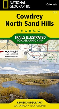
Cowdrey/North Sand Hills Trail Map
National GeographicThis colorful Trails Illustrated folded map offers comprehensive coverage of Cowdrey and the North Sand Hills area in Colorado.

Crested Butte Pearl Pass Map
National GeographicThis Trails Illustrated folded map offers comprehensive coverage of the Crested Butte and Pear Pass recreation areas in Colorado.

Deckers/Rampart Range Trail Map
National GeographicThis beautifully detailed Trails Illustrated folded map offers comprehensive coverage of Deckers and Rampart Range in Colorado.
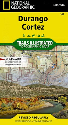
Durango/Cortez Trail Map
National GeographicThis informative Trails Illustrated map will help you plan trips to and explore the area in and around Durango and Cortez, Colorado.
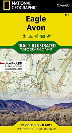
Eagle / Avon Topographic Map
National GeographicThe Trails Illustrated Eagle / Avon topographic map is the ultimate tool for exploring this region in the heart of the Colorado Rockies.
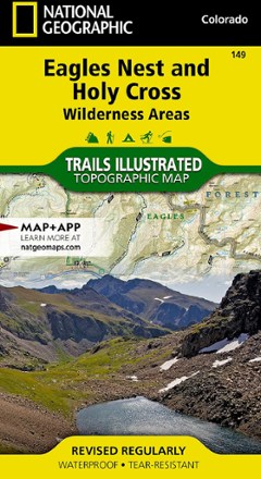
Eagles Nest and Holy Cross Wilderness Areas Topographic Map
National GeographicThe Trails Illustrated Eagles Nest and Holy Cross Wilderness Areas topographic map provides incredible detail of this scenic region in Colorado's Rocky Mountains.
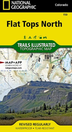
Flat Tops North Topographic Map
National GeographicYour key to adventuring in Colorado's second-largest wilderness, the Trails Illustrated Flat Tops North topographic map offers unmatched detail and valuable info to assist you in your exploration.

Flat Tops South Topographic Map
National GeographicThe Trails Illustrated map of Flat Tops South is your key to adventure in the southern region of Colorado's second largest wilderness area.
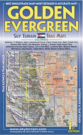
Golden Evergreen Trail Map - 1st Edition
Sky Terrain Trail MapsVenture to the closest mountain parks just west of Denver with the waterproof, pocket-size Sky Terrain Golden Evergreen Trail Map as your navigator to the area's abundance of singletracks and trails.