Canada Maps

Boundary Waters Canoe Area Wilderness Topographic Map Pack
National GeographicThe Trails Illustrated Boundary Waters Canoe Area Wilderness topographic map pack offers detailed guidance through more than a million acres of this unique wilderness in Superior National Forest.
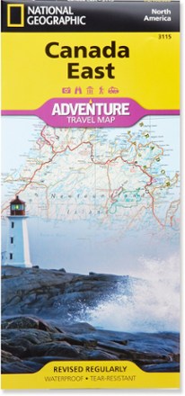
Canada East Adventure Travel Map
National GeographicExplore the beauty and history of Ontario, Quebec and the Maritime provinces with the National Geographic Canada East Adventure Travel map.

Canada West Adventure Travel Map
National GeographicThe National Geographic Canada West Adventure Travel map lets you plan your trip and explore the majestic wonders of Alberta, British Columbia, the Yukon and Northwest Territories.

Glacier and Waterton Lakes National Parks Outdoor Recreation Map - 2nd Edition
Cairn CartographicsPlan your trip using this Cairn Cartographics map. It covers Montana's Glacier National Park, Alberta's Waterton Lakes National Park and The North Fork of the Flathead River in excellent detail.
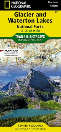
Glacier/Waterton Lakes National Parks Trail Map
National GeographicThis Trails Illustrated folded map offers comprehensive coverage of Glacier and Waterton Lakes national parks in Montana and Alberta.

Jasper National Park Map Pack
National GeographicFind your way around all corners of the largest national park in the Canadian Rockies with the National Geographic Trails Illustrated Jasper National Park map pack.
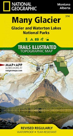
Many Glacier: Glacier and Waterton Lakes National Parks Topographic Map
National GeographicThe Trails Illustrated Many Glacier: Glacier and Waterton Lakes National Parks topographic map offers unparalleled detail for exploring the pristine landscapes within these 2 spectacular parks.
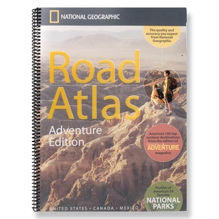
Road Atlas - Adventure Edition
National GeographicThe National Geographic Road Atlas Adventure Edition details 100 top outdoor destinations as selected by the editors of National Geographic Adventure Magazine.
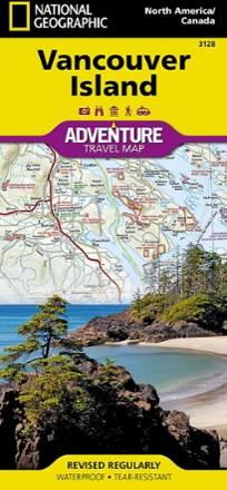
Vancouver Island, Canada, Map
National GeographicThis National Geographic Vancouver Island Adventure Map provides global travelers with the perfect combination of detail and perspective in a highly functional travel tool.