Books And Maps
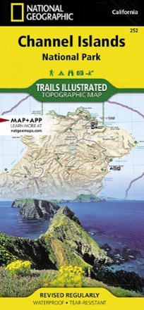
Channel Islands National Park Topographic Map
National GeographicThe Trails Illustrated Channel Islands National Park Topographic Map covers with unparalleled detail the 5 islands that encompass the park, including the State Marine Reserve surrounding the islands.

Chasing the Mountain Light: A Life Photographing Wild Places
Sure to delight lovers of the outdoors, Chasing the Mountain Light: A Life Photographing Wild Places is the result of photographer David Nielson's quest to capture stunning images around the world.
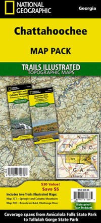
Chattahoochee Topographic Map Pack
National GeographicTrails Illustrated Chattahoochee topographic map pack offers 2 titles for Chattahoochee National Forest, covering the Appalachian Trail's south end and an abundance of recreational opportunities.

Chattooga River Map and Trail Guide
Pisgah Map CoWork your way all along the Chattooga Riber by foot or boat with the Chattooga River map and trail guide as your navigator through these tranquil, free-flowing waters in rugged South Carolina.
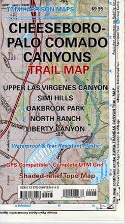
Cheeseboro - Palo Comado Canyons Trail Map
Tom Harrison CartographyThe Cheeseboro - Palo Comado Canyons trail map offers a full-color, topographic guide with shaded relief for hiking, backpacking, and mountain biking around this Ventura County open space.
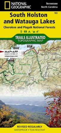
Cherokee and Pisgah National Forests - South Holston and Watauga Lakes Trail Map
National GeographicThis National Geographic Trails Illustrated folded map offers coverage of South Holston and Watauga Lakes in Tennessee and North Carolina.

Cherokee and Pisgah National Forests Topographic Map
National GeographicThe detailed Trails Illustrated Cherokee and Pisgah National Forests topographic map offers concise and colorful coverage of the French Broad and Nolichucky rivers in Tennessee and North Carolina.
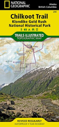
Chilkoot Trail/Klondike Gold Rush National Historic Park Topographic Map
National GeographicCreated with local land management agencies, the expertly researched National Geographic Chilkoot Trail topographic map will help you explore, hike, camp and view wildlife in this rugged frontier.

Chuckanut Recreation Area Map
Square One MapsWith rain a constant battle in the PNW, the waterproof Chuckanut Recreation Area map still gets you out to the region's best nature trails and parks, regardless of the day's forecast.
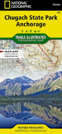
Chugach State Park / Anchorage Topographic Map
National GeographicThe Trails Illustrated Chugach State Park / Anchorage topographic map combines unmatched detail with helpful info to offer an invaluable tool for making the most of your visit to this exciting region.

Circuit Hikes in Harriman
New York New Jersey TrailEnjoy your explorations of New York's Harriman and Bear Mountain State Parks with this guide. It includes 35 loop hikes and trail runs through their forested mountains, wetlands and rock formations.
North America Hiking GuidebooksNew England and Mid Atlantic Hiking Guidebooks - DEPRECATED
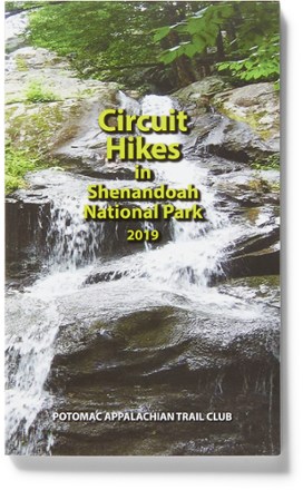
Circuit Hikes in Shenandoah National Park - 18th Edition
PATCFrom rugged scrambles to flat terrain, the pocket-size 18th edition of Circuit Hikes in Shenandoah National Park details 40 trails in the North, Central and South districts along Skyline Drive.
Camping and Hiking GuidebooksNorth America Hiking Guidebooks

Circuit Hikes in Virginia, West Virginia, Maryland and Pennsylvania - 10th Edition
PATCThe pocket-size 10th edition of Circuit Hikes in Virginia, West Virginia, Maryland and Pennsylvania journeys into deep woods home to wildlife as well as near-urban routes that are surprisingly wild.
Camping and Hiking GuidebooksNorth America Hiking Guidebooks
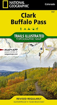
Clark / Buffalo Pass Topographic Map
National GeographicCreated in cooperation with the U.S. Forest Service and other land agencies, the Trails Illustrated Clark / Buffalo Pass topographic map delivers detailed coverage of this region of northern Colorado.