Books And Maps
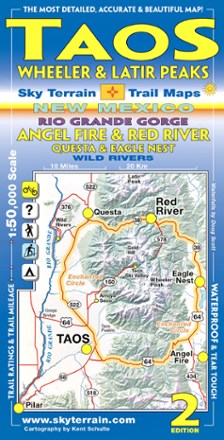
Taos, Wheeler and Latir Peaks Trail Map - 2nd Edition
Sky Terrain Trail MapsPocket-size and fully waterproof, the Sky Terrain Taos Wheeler and Latir Peaks Trail Map leads the way around New Mexico for all types of recreation with stunning accuracy and detail.

Tarryall Mtns. / Kenosha Pass Topographic Map
National GeographicExpertly researched along with local land management agencies, the Trails Illustrated Tarryall Mtns. / Kenosha Pass topographic map provides an unparalleled tool for exploring this region of Colorado.
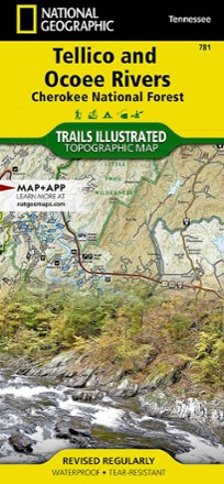
Tellico and Ocoee Rivers Topographic Map
National GeographicThe Trails Illustrated Tellico and Ocoee Rivers topographic map is designed to meet the needs of outdoor enthusiasts seeking to explore the southern section of Cherokee National Forest.

Telluride Local Trails Map & Guide
National GeographicHow do you pick which adventure to start with at a world-renowned outdoor destination? Start here, with the National Geographic Telluride local trails map, which pairs a front map with a back guide.
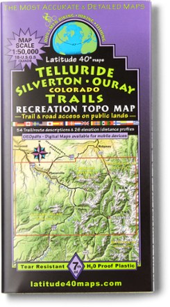
Telluride Silverton Ouray Map - 7th Edition
Latitude 40 MapsForge a route through the mountains with the help of this Latitude 40 Maps Telluride Silverton Ouray map. For even bigger trips through the San Juans, connect it to the Durango map (not included).
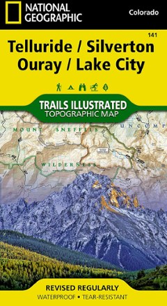
Telluride/Silverton/Ouray/Lake City Trail Map
National GeographicThis colorful Illustrated folded map offers detailed coverage of trails around Telluride and Lake City.

Ten Sleep Canyon Climbing
WolverineLocated in a canyon within the Bighorn Mountains in north-central Wyoming, Ten Sleep has over 1,000 routes to explore. Find your way around with Ten Sleep Canyon Climbing from Wolverine Publishing.

Teton Range Core Trails Map
Beartooth PublishingDedicated exclusively to the central and southern Teton Range, the Beartooth Publishing Teton Range Core Trails map is your guide to one of the best hiking destinations in the U.S.

Texas 107 Best Walks
Whether you live in the state or are just driving through, Texas 107 Best Walks is your guide to some of the best local hiking places in The Lone Star State.
Camping and Hiking GuidebooksNorth America Hiking Guidebooks
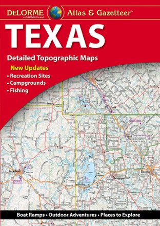
Texas Atlas and Gazetteer
DeLormeFrom the Gulf Coast to the Hill Country to the Panhandle Plains, the DeLorme Texas Atlas and Gazetteer provides detailed maps so you can discover and explore every corner of the Lone Star State.
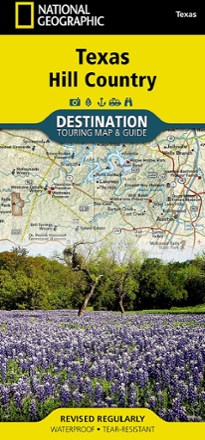
Texas Hill Country Destination Touring Map and Guide
National GeographicThe National Geographic Texas Hill Country Destination Touring map and guide strikes a balance between map and guidebook—perfect for touring this culturally and geographically unique region.
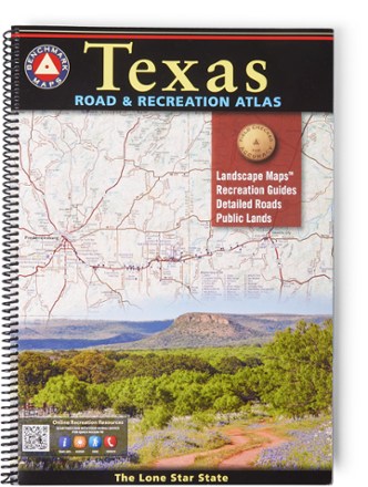
Texas Road & Recreation Atlas - 2nd Edition
Benchmark MapsConfidently explore the wide open spaces of the Lone Star State with the 2nd edition of the Texas Road & Recreation Atlas. The detailed maps are great for planning day outings or extended road trips.

The Adventure Gap: Changing the Face of the Outdoors
Mountaineers BooksThe Adventure Gap: Changing the Face of the Outdoors explores how minority populations view wild places and shares their accomplishments—including the first all-African American team to summit Denali.

The American River Insider's Guide to the Recreation, Ecology and Cultural History of the North, Middle and South Forks - 3rd Edition
Thoroughly researched and updated for its 3rd edition, the Insider's Guide to the American River is your guide to recreation, ecology and cultural history of the river's North, Middle and South forks.