Books And Maps

Ouachita Trail Western Map: Talimena State Park-Turner Gap Shelter
See the best of the Ozarks! One of 3 maps covering this trail, the Ouachita Trail Western topographic hiking map covers the western section of the trail from Talimena State Park to Turner Gap shelter.

Out There: The Wildest Stories from Outside Magazine
FalconGuidesFalconGuides Out There: The Wildest Stories from Outside Magazine chronicles fringe athletes, fitness freaks and others obsessed by ill-advised dreams.
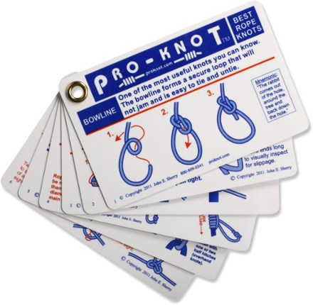
Outdoor Knots - Waterproof Plastic Fan Pack
Learn the 20 best knots to cover every rope-tying situation. Outdoor Knots features easy-to-read, step-by-step drawings on waterproof plastic cards.

Outdoor School: Animal Watching
Odd DotSet young explorers free with Outdoor School: Animal Watching. With its metal corners and full-color, highly illustrated pages, its an indispensable guide to wildlife identification and tracking.
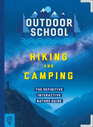
Outdoor School: Hiking and Camping
Odd DotSet young nature lovers free with Outdoor School: Hiking and Camping. With metal corners and full-color, highly illustrated pages, its an indispensable guide to adventuring in the great outdoors.

Outdoor School: Tree, Wildflower and Mushroom Spotting
Odd DotNature is in session with Outdoor School: Tree, Wildflower and Mushroom Spotting, the definitive interactive nature guide. No experience required—you just have to show up with curiosity and courage.

Outdoors with Kids: Maine, New Hampshire and Vermont
AMCGive your kids the experience of New England's splendrous nature and recreation with AMC's Outdoors with Kids: Maine, New Hampshire and Vermont as your resource to fun outdoor adventures.
North America Hiking GuidebooksNew England and Mid Atlantic Hiking Guidebooks - DEPRECATED
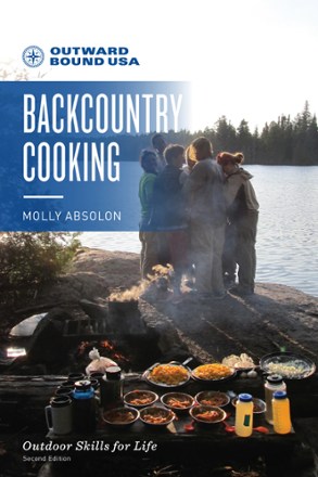
Outward Bound USA Backcountry Cooking
FalconGuidesTired of the same old go-to meals whenever you visit the backcountry? Liven up your camp cuisine with Outward Bound USA Backcountry Cooking, a handy resource on the fundamentals of great trail food.

Owls of North America
Quick Reference PublishingFind out just whose hoots are punctuating the night air with the help of Owls of North America. This guide helps you distinguish between 19 varieties of these mysterious, regal birds.
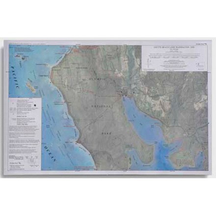
Ozette Beach Loop Map - 4th Edition
This map features trail length and camping areas for the Ozette Beach Loop in Washington.
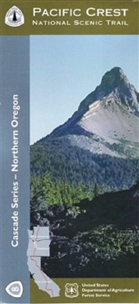
Pacific Crest National Scenic Trail - Northern Oregon (PCT-8) Map
The official Forest Service Pacific Crest National Scenic Trail - Northern Oregon (PCT-8) map shows you the way to ascend more than 57 major mountain passes.
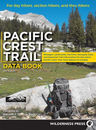
Pacific Crest Trail Data Book - 6th Edition
Wilderness PressWhen you're uncertain of the next stopping point while hiking the PCT, the Pacific Crest Trail data book offers the details and essential info you need to keep on pace and in reach of your goals.
North America Hiking GuidebooksWashington and Oregon Hiking Guidebooks - DEPRECATED
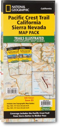
Pacific Crest Trail Topographic Map Guide: California Sierra Nevada Map Pack
National GeographicThe Trails Illustrated Pacific Crest Trail topographic map guide includes 2 map guides that cover the PCT as it navigates the rugged Sierra Nevada in California.

Pacific Crest Trail Topographic Map Guide: Klamath Mountains
National GeographicFrom Siskiyou Summit to Castle Crags, this Trails Illustrated Pacific Crest Trail topographic map guide covers the wildflower-dotted meadows and conifer forests of the Klamath Mountains.