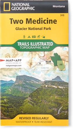
Two Medicine/Glacier National Park Topographic Map
National GeographicExpertly researched and created with land management agencies, this National Geographic Two Medicine topographic map details information for exploring southeastern Glacier National Park year-round.
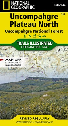
Uncompahgre Plateau North: Uncompahgre National Forest Topographic Map
National GeographicTrails Illustrated Uncompahgre Plateau North: Uncompahgre National Forest topographic map leads you to the year-round recreational opportunities of this unique area in southwestern Colorado.
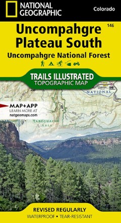
Uncompahgre Plateau South Topographic Map
National GeographicThe Trails Illustrated Uncompahgre Plateau South Map is created for outdoor enthusiasts exploring the year-round recreational opportunities in this unique area of southwestern Colorado.
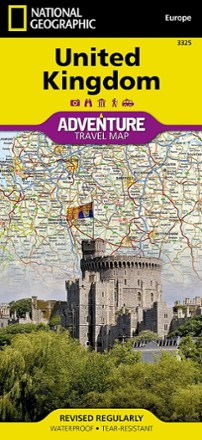
United Kingdom Adventure Travel Map
National GeographicThe National Geographic United Kingdom Adventure Travel Map is designed to meet the needs of your journeys with its durability and detailed, accurate information.
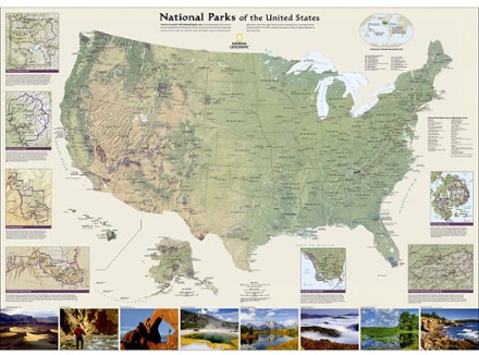
United States National Parks Wall Map - Tubed
National GeographicThe National Geographic United States National Parks wall map highlights America's magnificent parks, represented in subtle earth tones with shaded mountain relief and intricately drawn river systems.
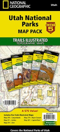
Utah National Parks Map Pack
National GeographicThe Trails Illustrated Utah National Parks map pack combines 5 iconic national parks in the high desert of Utah into a single, easy-to-use bundle.
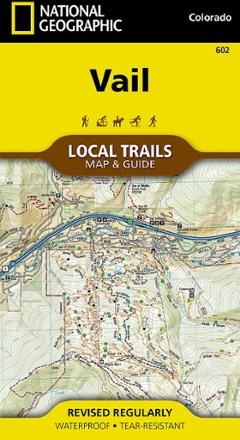
Vail Local Trails Map & Guide
National GeographicTake a hike with this National Geographic Local Trails map and guide of Vail, Colorado—situated at 8,150 ft. in the upper reaches of the Gore Valley and encircled by the White River National Forest.

Vail, Frisco, and Dillon Topographic Map
National GeographicThe Trails Illustrated Vail, Frisco, and Dillon topographic map is an unparalleled tool for exploring this region of the Colorado Rockies.
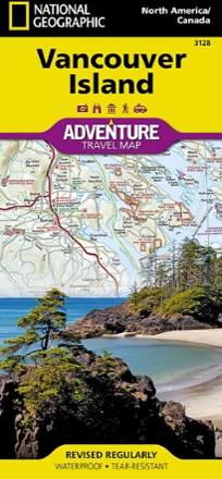
Vancouver Island, Canada, Map
National GeographicThis National Geographic Vancouver Island Adventure Map provides global travelers with the perfect combination of detail and perspective in a highly functional travel tool.
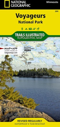
Voyageurs National Park Topographic Map
National GeographicThe Trails Illustrated Voyageurs National Park topographic map combines unmatched detail with helpful information, offering a valuable tool for making the most of your visit to this inspiring region.

Walden / Gould Topographic Map
National GeographicThe Trails Illustrated Walden / Gould topographic map combines unmatched detail with helpful info to offer a valuable tool for making the most of your travels in North Park and the surrounding areas.

Wasatch Front North Trail Map
National GeographicThis Trails Illustrated folded map offers comprehensive coverage of Utah's Wasatch Front and Strawberry Valley area.

Wasatch Front South Topographic Map
National GeographicThe Trails Illustrated Wasatch Front South topographic map is a comprehensive guide for outdoor enthusiasts enjoying the year-round recreation activities in this region.
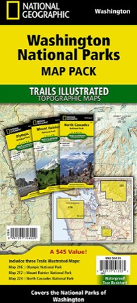
Washington National Parks Topographic Map Pack
National GeographicThe Trails Illustrated Washington National Parks topographic map pack shows you the way to the diverse beauty found in Washington's national parks: Mt. Rainier, Olympic and North Cascades.