Desolation and Granite Chief Wilderness Areas Topographic Map
National GeographicIf you want to explore more remote corners of the Sierra, the National Geographic Desolation and Granite Chief Wilderness Areas topographic map will aid in your trip-planning and hiking adventures.
Dillon and Silverthorne Local Trails Map & Guide
National GeographicFind breathtaking views of the Gore and Tenmile ranges with the Dillon and Silverthorne Local Trails map and guide from National Geographic. These mountain towns are just minutes from many ski areas.
Dinosaur National Monument Topographic Map
National GeographicWith the Trails Illustrated Dinosaur National Monument topographic map in hand you can discover pieces of a long ago world where the largest land creatures of all time once roamed and died.
Durango/Cortez Trail Map
National GeographicThis informative Trails Illustrated map will help you plan trips to and explore the area in and around Durango and Cortez, Colorado.
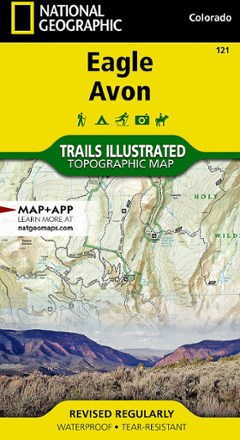
Eagle / Avon Topographic Map
National GeographicThe Trails Illustrated Eagle / Avon topographic map is the ultimate tool for exploring this region in the heart of the Colorado Rockies.
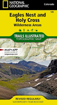
Eagles Nest and Holy Cross Wilderness Areas Topographic Map
National GeographicThe Trails Illustrated Eagles Nest and Holy Cross Wilderness Areas topographic map provides incredible detail of this scenic region in Colorado's Rocky Mountains.
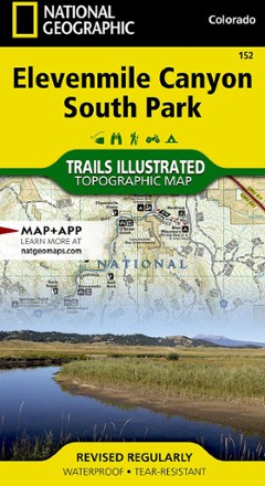
Elevenmile Canyon South Park Topographic Map
National GeographicThis expertly researched and highly detailed National Geographic Elevenmile Canyon South Park topographic map will aid your exploration whether on foot, horseback, bike, motorcycle, ATV or snowmobile.

Europe Adventure Travel Map
National GeographicThis detailed National Geographic Europe adventure travel map depicts major roads, ferry routes and thousands of destinations to help you navigate from mega-cities to small towns in the hinterlands.
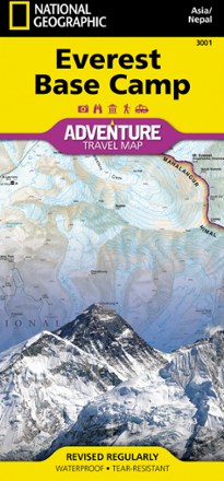
Everest Base Camp
National GeographicOutdoor adventurers trekking in the Himalayas will find that the National Geographic Everest Base Camp Adventure Map is an essential tool when preparing for an ascent up the world's highest mountain.
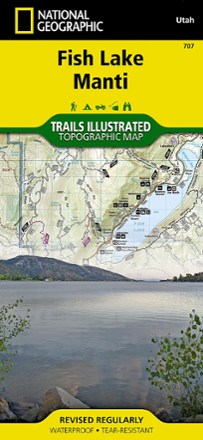
Fish Lake Manti Topographic Map
National GeographicExplore Fish Lake, the town of Manti and the Utah landscape around it with the National Geographic Fish Lake Manti Topographic Map. It includes hiking trails, OHV trails and a scenic backway.
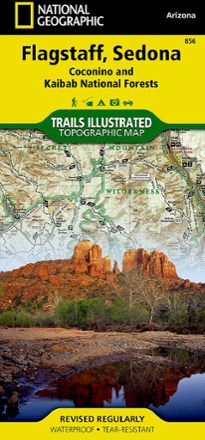
Flagstaff / Sedona Topographic Map
National GeographicExplore Northern Arizona's pine forests, picturesque mountains, steep canyons, and red-rock buttes with the Trails Illustrated Flagstaff / Sedona topographic map.

Flaming Gorge/Eastern Uintas Trail Map
National GeographicThis detailed Trails Illustrated map offers comprehensive coverage of Utah's Flaming Gorge National Recreation Area and eastern Uintas.
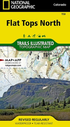
Flat Tops North Topographic Map
National GeographicYour key to adventuring in Colorado's second-largest wilderness, the Trails Illustrated Flat Tops North topographic map offers unmatched detail and valuable info to assist you in your exploration.

Flat Tops South Topographic Map
National GeographicThe Trails Illustrated map of Flat Tops South is your key to adventure in the southern region of Colorado's second largest wilderness area.