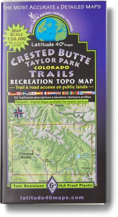

Crested Butte Taylor Park Map - 6th Edition
Tech Specs
Specifications are maintained on Pack4Back GearDB (community edits and revision history). Values may differ from the manufacturer or your unit—verify before buying.
BrandLatitude 40 Maps
Best UseHiking
State / ProvinceColorado
Folded Dimensions8 x 4 inches
Unfolded Dimensions39 x 25 inches
Map Scale1:50,000
Double SidedYes
PublisherLatitude 40 Maps
Copyright Year2020
Description
Ready to explore the Colorado wild? This Latitude 40 Maps Crested Butte Taylor Park map helps you find your way through the region. It features information on 32 routes for all types of travel.
Features
- 2-sided, full-color map features eastern half on one side, western half on reverse
- Includes trail descriptions for 32 routes for all types of travel, with degree of difficulty, length in miles, seasonal hazards and elevation/distance and gain
- Includes contact information for National Forests, towns and recreation education groups
- Scale: 1 in. = 0.8 mi.