Filters
No categories available
No brands available
Southwest Maps Deprecated
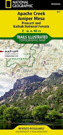
Apache Creek / Juniper Mesa Topographic Map
National GeographicOutdoor enthusiasts adventuring through the northern half of Prescott National Forest will find the Trails Illustrated Apache Creek / Juniper Mesa topographic map an essential travel companion.
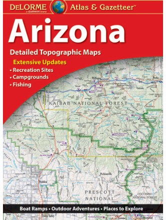
Arizona Atlas and Gazetteer
DeLormeFrom mining towns and dazzling deserts to the northern forests and deep canyons, the DeLorme Arizona Atlas and Gazetteer covers the entire Copper State in fine detail.
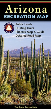
Arizona Recreation Map
Benchmark MapsThe Benchmark Maps Arizona Recreation Map guides you through the wonders of the Grand Canyon State with an award-winning design, generous page-to-page overlaps, GPS grids and easy-to-read symbols.
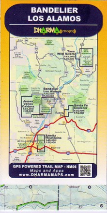
Bandelier-Los Alamos Map
See some of New Mexico's most breathtaking scenery with Dharma Maps Bandelier–Los Alamos map, a waterproof, pocket-size design accurately detailed in full topographic color.
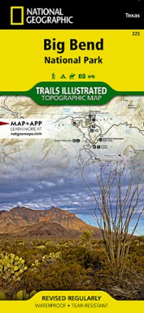
Big Bend National Park Trail Map
National GeographicThis Trails Illustrated folded map offers comprehensive coverage of Big Bend National Park in Texas.

Bradshaw Mountains Topographic Map
National GeographicCreated in partnership with the U.S. Forest Service and others, the Trails Illustrated Bradshaw Mountains topographic map is an essential companion for outdoor enthusiasts exploring the area.
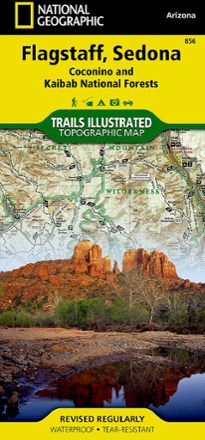
Flagstaff / Sedona Topographic Map
National GeographicExplore Northern Arizona's pine forests, picturesque mountains, steep canyons, and red-rock buttes with the Trails Illustrated Flagstaff / Sedona topographic map.
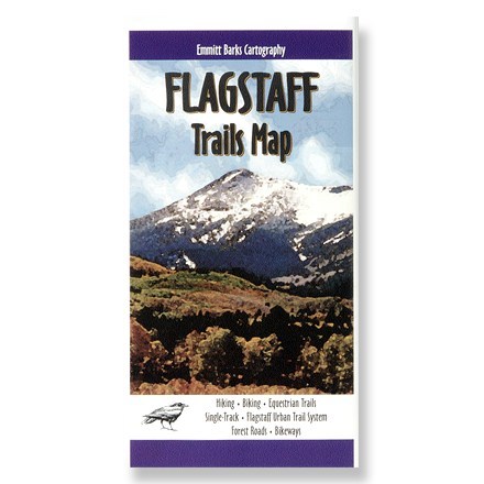
Flagstaff Trails Map H2O
Explore the awesome beauty that is Flagstaff, Arizona! This topo map provides detailed trail information, roads and campground locations.
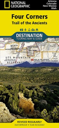
Four Corners: Trail of the Ancients Destination Map
National GeographicThe National Geographic Four Corners: Trail of the Ancients Destination Map combines map and guidebook to display this unique corner of Arizona, Colorado, New Mexico and Utah.

Grand Canyon National Park Topographic Map Pack
National GeographicThe Trails Illustrated Grand Canyon National Park topographic map pack guides you through this natural wonder, from sightseeing to overnight camping to backcountry itineraries and river float trips.
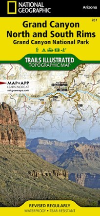
Grand Canyon National Park Trail Map - Bright Angel Canyon/North and South Rims
National GeographicThis Trails Illustrated Grand Canyon National Park trail map offers comprehensive coverage of Bright Angel Canyon and the North and South rims.
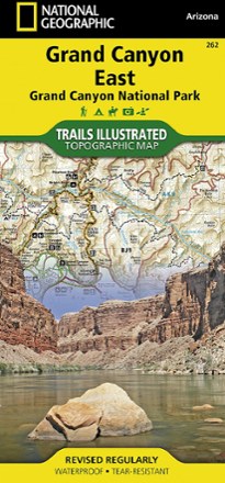
Grand Canyon National Park Trail Map - East
National GeographicThis Trails Illustrated folded map offers comprehensive coverage of the eastern section of Grand Canyon National Park.
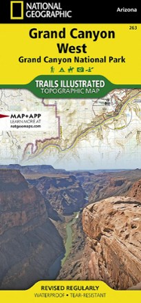
Grand Canyon National Park Trail Map - West
National GeographicThis Trails Illustrated folded map offers comprehensive coverage of the western section of Grand Canyon National Park.

Grand Staircase / Paunsaugunt Plateau Topographic Map
National GeographicHeaded out to enjoy the abundance of public lands and endless recreational opportunities in southern Utah? You'll love the Trails Illustrated Grand Staircase / Paunsaugunt Plateau topographic map.