Paper Maps

Cache La Poudre / Big Thompson Topographic Map
National GeographicOutdoor enthusiasts looking for opportunities just east of Rocky Mountain National Park will find the Trails Illustrated Cache La Poudre / Big Thompson topographic map an essential travel companion.
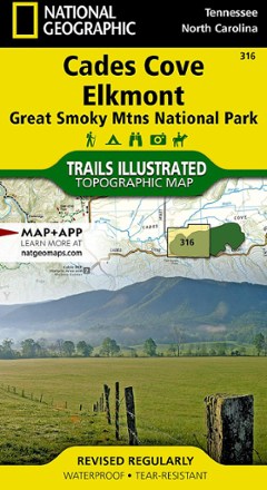
Cades Cove / Elkmont Topographic Map
National GeographicThe Trails Illustrated Cades Cove / Elkmont topographic map covers the western part of Great Smoky Mtns. National Park, from Sugarlands to Chilhowee Mountain and Lake.
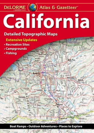
California Atlas and Gazetteer
DeLormeWhether you're visiting the many state or national parks or taking a drive along the coast, plan your trip to the Golden State with the detailed maps of the DeLorme California Atlas and Gazetteer.

California Delta Adventure Guide
Franko's MapsDesigned for boaters, anglers and other delta visitors, the California Delta Adventure Guide serves as map and guide to the San Joaquin and Sacramento Rivers.

California Desert National Parks Map Pack
National GeographicCombining 3 detailed maps and info, the Trails Illustrated California Desert National Parks map pack is perfect for your next trip to the national parks in the Mojave Desert region of California.
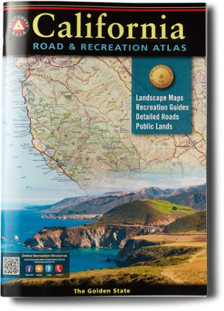
California Road & Recreation Atlas - 11th Edition
Benchmark MapsFrom mountains and deserts to the seemingly endless Pacific Coast, California is rich in geographic diversity and beauty. Go explore with the updated Benchmark Maps California Road & Recreation atlas.
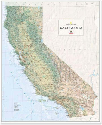
California Wall Map - Tubed
National GeographicThe National Geographic California wall map offers a colorful visualization of the Golden State's physical geography, forests and deserts. Stunning shaded relief depicts mountains and ocean depths.

California's Lost Coast Map
Wilderness PressExplore the coastline of northern California with this map as your guide to King Range National Conservation Area and Sinkyone Wilderness State Park.

Camel's Hump and the Monroe Skyline Hiking Trail Map - 2nd Edition
Green Mountain ClubSummit Vermont's 3rd highest peak, take a short day hike or simply stroll across a footbridge with the Green Mountain Club Camel's Hump and Monroe Skyline hiking trail map as your guide.
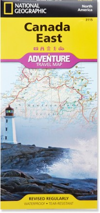
Canada East Adventure Travel Map
National GeographicExplore the beauty and history of Ontario, Quebec and the Maritime provinces with the National Geographic Canada East Adventure Travel map.

Canada West Adventure Travel Map
National GeographicThe National Geographic Canada West Adventure Travel map lets you plan your trip and explore the majestic wonders of Alberta, British Columbia, the Yukon and Northwest Territories.
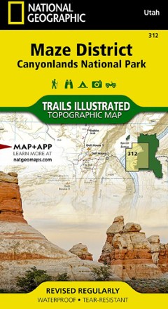
Canyonlands National Park - Maze District Trail Map
National GeographicThis National Geographic Trails Illustrated folded map offers comprehensive coverage of the Maze district in Utah's Canyonlands National Park.
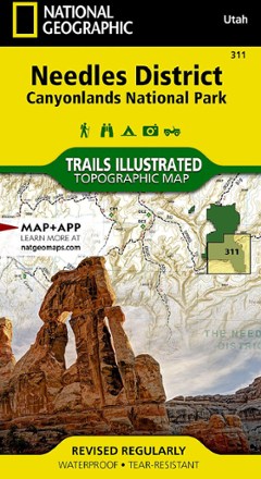
Canyonlands National Park - Needles District Trail Map
National GeographicThis National Geographic Trails Illustrated folded map offers comprehensive coverage of the Needles district in Utah's Canyonlands National Park.
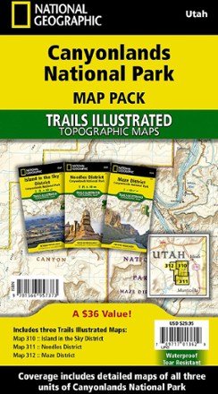
Canyonlands National Park Topographic Map Pack
National GeographicWhether you're planning a road trip or a backpacking excursion, the National Geographic Canyonlands National Park topographic map pack will help you plan your outing to Canyonlands' 3 districts.