Filters
No categories available
No brands available
North America Maps
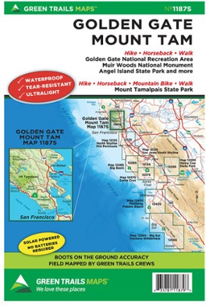
Map 1187S - Golden Gate, Mount Tam
Green TrailsThe Green Trails map for Golden Gate and Mount Tam map guides you to stunning views, fascinating topography and 400 miles of trails through the Marin Headlands, Mt. Tamalpais and Marin watershed.
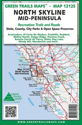
Map 1212S - North Skyline Mid-Peninsula
Green TrailsThe Green Trails North Skyline Mid-Peninsula map offers a beautifully detailed topographic guide to the coastal south side of California's Bay Area.
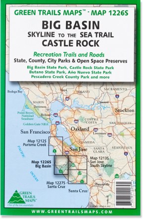
Map 1226S - Big Basin and Castlerock
Green TrailsCentered around Skyline-to-the-Sea trail, the Green Trails Big Basin and Castlerock map (1226S) offers a beautifully detailed topographic guide to this slice of the central California coastal region.
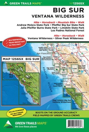
Map 125SX - Big Sur - Ventana Wilderness
Green TrailsExplore Big Sur and the Ventana Wilderness with Green Trails Map 125SX, a beautifully detailed topographic guide to this region of coastal California.

Map 133S - Seven Lakes Basin, Mount Olympus Climbing
Green TrailsTopographic recreation map details climbing routes, trails and backcountry camps for Mount Olympus and the Olympic National Park.

Map 134S - Hurricane Ridge - Elwha North
Green TrailsCovering an area close to Port Angeles, WA, the Green Trails Hurricane Ridge - Elwha North map (134S) fills you in on the trails, rivers and sights to explore with wonderfully detailed topography.
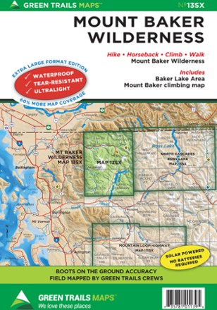
Map 13SX - Mount Baker Wilderness
Green TrailsExplore Washington state's Mount Baker Wilderness with Green Trails map 13SX, a beautifully detailed topographic guide to this region in the North Cascades.
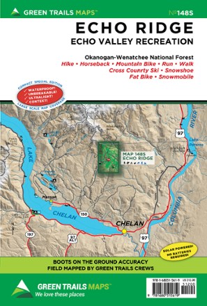
Map 148S - Echo Ridge
Green TrailsHike, ride, run or ski—however you like to get outside, opportunities abound in the Echo Ridge region of the Okanogan-Wenatchee National Forest. Find it all with Green Trails Map 148S as your guide.
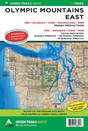
Map 168SX - Olympic Mountains East
Green TrailsWith 60% more coverage in rich topographic detail, the Green Trails Olympic Mountains East map (168SX) is your boots-on-the-ground guide to the wilderness of the east side of the Olympic Peninsula.

Map 16SX - North Cascades and Ross Lake
Green TrailsStretching from Pasayten Peak to Snowking Mountain, the Green Trails North Cascades and Ross Lake map (16SX) offers a detailed topographic guide to this expansive region of Washington state.
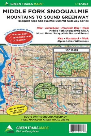
Map 174SX - Middle Fork Snoqualmie
Green TrailsVenture into wilderness of the Mountains to Sound Greenway just 20 miles from Seattle with the Green Trails Middle Fork Snoqualmie map (174SX), a beautifully detailed topographical guide.

Map 203S - Cougar Mountain Squak Mountain
Green TrailsCaptured in beautiful topographic detail, the Green Trails Cougar Mountain Squak Mountain map (203S) is the gateway to the incredible parks and trails just a short drive from Seattle.
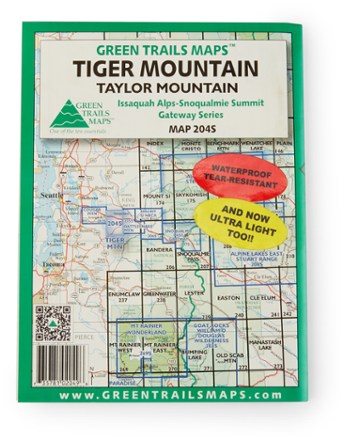
Map 204S - Tiger Mountain/Taylor Mountain
Green TrailsWith boots-on-the-ground accuracy and rich topographic detail, the Green Trails Tiger Mountain And Taylor Mountain map leads you to some of the best recreation within the Mountains to Sound Greenway.
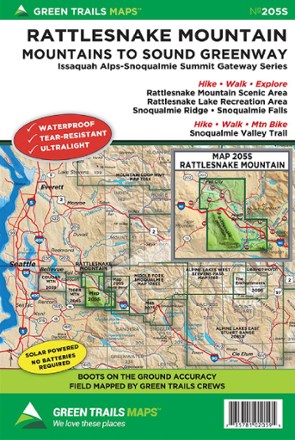
Map 205S - Rattlesnake Mountain
Green TrailsThere are many hiking options just a short drive from Seattle. Green Trails Rattlesnake Mountain map (205S) leads from Rattlesnake Mountain to the Snoqualmie Valley in beautifully detailed topography.