Filters
No categories available
No brands available
North America Maps
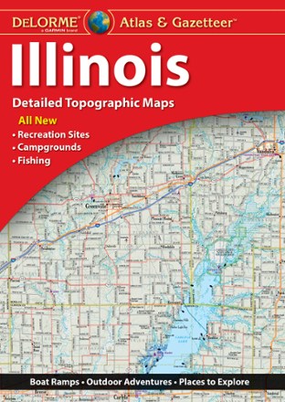
Illinois Atlas and Gazetteer
DeLormePerfect for sightseeing, trip planning and exploring back roads, the DeLorme Illinois Atlas and Gazetteer will help you find the well-known and lesser-traveled spots of the Prairie State.
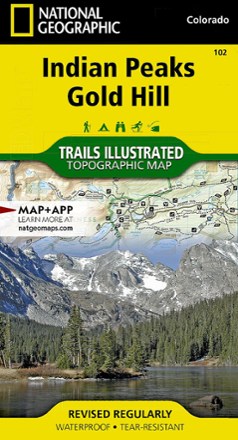
Indian Peaks/Gold Hill Trail Map
National GeographicThis Trails Illustrated folded map offers comprehensive coverage of the Indian Peaks and Gold Hill areas in Colorado.

Indiana Atlas and Gazetteer
DeLormeBike the Cardinal Greenway or take a drive on the many historic scenic byways. The DeLorme Indiana Atlas and Gazetteer covers the entire Hoosier State in fine detail.
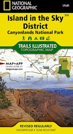
Island in the Sky District: Canyonlands National Park Topographic Map
National GeographicThe Trails Illustrated Island in the Sky District: Canyonlands National Park topographic map combines unmatched detail with helpful info to make the most of your visit to this extraordinary region.
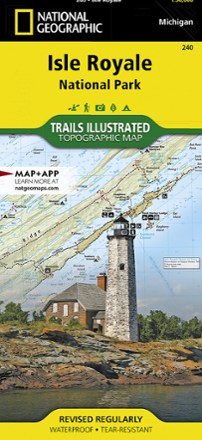
Isle Royale National Park Topographic Map
National GeographicThe Trails Illustrated Isle Royale National Park topographic map delivers unmatched detail and valuable information to assist you in your exploration of this remote wilderness.
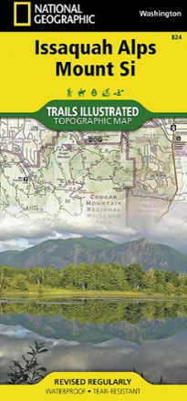
Issaquah Alps and Mount Si Map
National GeographicThe Trails Illustrated Issaquah Alps and Mount Si map offers comprehensive coverage of this easily accessible yet premier hiking destination just outside of Seattle in Western Washington.

Jasper National Park Map Pack
National GeographicFind your way around all corners of the largest national park in the Canadian Rockies with the National Geographic Trails Illustrated Jasper National Park map pack.
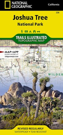
Joshua Tree National Park Trail Map
National GeographicThis National Geographic Trails Illustrated folded map offers comprehensive coverage of Joshua Tree National Park in California.
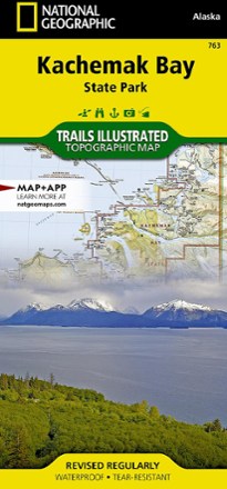
Kachemak Bay State Park Map
National GeographicPrinted on durable tear-resistant, waterproof plastic, this map of Kachemak Bay State Park in Alaska can go virtually anywhere you do.
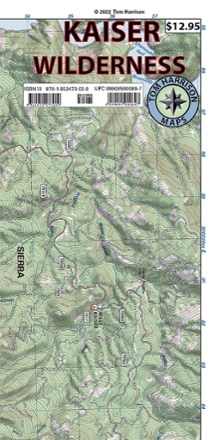
Kaiser Wilderness Map
Tom Harrison CartographyGet off the beaten path with the Tom Harrison Cartography Kaiser Wilderness map. Explore the trails and other recreation opportunities around Huntington Lake with this full color map.
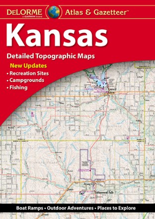
Kansas Atlas and Gazetteer
DeLormeWhether you're on a road trip or hoping to find the less-traveled corners of the state, the DeLorme Kansas Atlas and Gazetteer has the maps you'll want for trip planning and backcountry access.
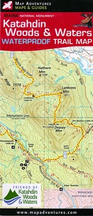
Katahdin Woods & Waters National Monument Waterproof Trail Map
Map AdventuresHike, bike, paddle and experience the history and culture of Maine's Northern Penobscot County with the Map Adventures Katahdin Woods & Waters National Monument waterproof trail map.
North America MapsNew England and Mid Atlantic Maps - DEPRECATED
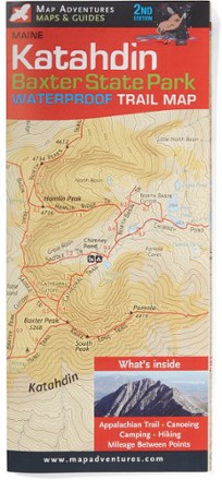
Katahdin-Baxter State Park Waterproof Trail Map - 2nd Edition
Map AdventuresCanoe, camp or hike—and visit the scenic Appalachian Trail—with the 2nd edition of the Katahdin–Baxter State Park Waterproof Trail Map from Map Adventures.
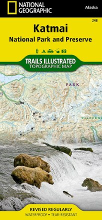
Katmai National Park and Preserve Trail Map
National GeographicThis National Geographic Trails Illustrated folded map offers comprehensive coverage of Alaska's Katmai National Park and Preserve.