Media

Trees of Appalachia
Quick Reference PublishingA handy, pocket-size guide with vibrant color photos to help with identification, Trees of Appalachia describes common native trees from an area with one of the world's most diverse temperate forests.

Trees of Central Texas
Quick Reference PublishingGet to know the native tree species that give Texas Hill Country and the surrounding areas their unique character in Trees of Central Texas, a handy, pocket-size guide with over 250 illustrations.
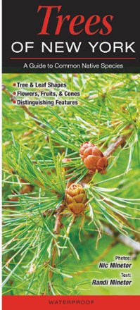
Trees of New York
Quick Reference PublishingWhat are those trees in your Adirondack campground? Or along the roads in your neighborhood? Identify them quickly with Trees of New York, a handy, pocket-size guide with over 60 vibrant color photos.

Trees of New York City
Quick Reference PublishingWhat trees are in your favorite grove in Central Park? Or along the roadsides on Long Island? Find out with Trees of New York City, a handy, pocket-size guide with more than 60 vibrant color photos.

Trees of Southeast Texas
Quick Reference PublishingGet to know the native tree species that give Houston and the surrounding areas their unique character in Trees of Southeast Texas, a handy, pocket-size guide with over 250 detailed illustrations.

Trees of the Mid-Atlantic States
Quick Reference PublishingGet to know native trees from the Poconos to Cape Charles and beyond with Trees of the Mid-Atlantic States, a handy, pocket-size guide with over 60 vibrant color photos to help with identification.

Trees of the Pacific Northwest
Quick Reference PublishingGet to know the guardians of the forest with this handy guide. Trees of the Pacific Northwest helps you learn about 40 of the most common species found in the mossy, misty woods you love to explore.

Trees: A Count and Find Primer
Trees: A Count and Find Primer makes learning to count from 1 to 10 a captivating experience with its illustrated collection of amazing trees found all across the United States.
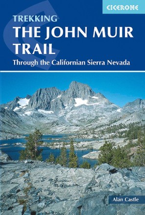
Trekking The John Muir Trail
Ready to explore one of the world's most spectacular trails? Trekking The John Muir Trail provides essential information to help you cover 216 miles through California's High Sierras.
Camping and Hiking GuidebooksNorth America Hiking Guidebooks

Trips and Trails Oregon
Navillus PressFind hikes, bed and breakfasts, Portland, hot springs, campgrounds, towns, parks, wildlife, museums and wildflowers.
North America Hiking GuidebooksWashington and Oregon Hiking Guidebooks - DEPRECATED
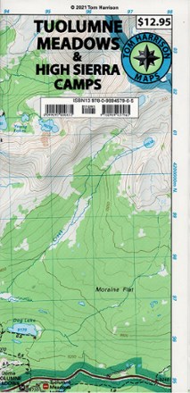
Tuolumne Meadows and High Sierra Camps Map
Tom Harrison CartographyIdeal for backpacking, the Tom Harrison Cartography Tuolumne Meadows and High Sierra Camps map features trails, topo lines and a 1:42,240 scale.

Turn Around Time: A Walking Poem for the Pacific Northwest
Mountaineers BooksTurn Around Time: A Walking Poem for the Pacific Northwest offers reflections on life and landscape expressed in verse by the New York Times best-selling author, David Guterson.

Turtles of North Carolina, South Carolina & Georgia
Quick Reference PublishingA pocket-size, fact-filled identification guide, Turtles of North Carolina, South Carolina & Georgia is an excellent resource for all outdoor and nature enthusiasts.
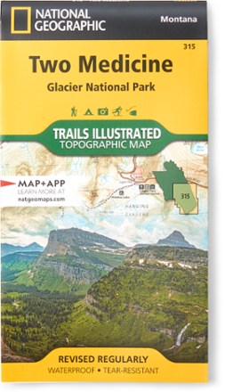
Two Medicine/Glacier National Park Topographic Map
National GeographicExpertly researched and created with land management agencies, this National Geographic Two Medicine topographic map details information for exploring southeastern Glacier National Park year-round.