Media
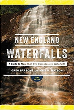
New England Waterfalls - 3rd Edition
Countryman PressDiscover hundreds of beautiful waterfalls and swimming holes in New England Waterfalls, which offers a wealth of information, maps and color photographs for seekers of these regional treasures.
Camping and Hiking GuidebooksNorth America Hiking Guidebooks

New Hampshire Off the Beaten Path
Globe Pequot PressTired of the same old tourist traps? New Hampshire Off the Beaten Path helps Granite State visitors and locals explore hidden gems and get a new perspective on timeless destinations.
Camping and Hiking GuidebooksNorth America Hiking Guidebooks
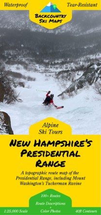
New Hampshire's Presidential Range Backcountry Ski Map
With over 100 routes for epic trips and making fresh tracks, New Hampshire's Presidential Range Backcountry Ski map is a ski-specific map and guide to the area's best steeps and descents.
North America MapsNew England and Mid Atlantic Maps - DEPRECATED
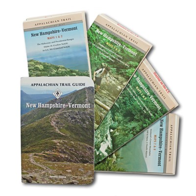
New Hampshire-Vermont Guidebook and Maps Set
Appalachian Trail ConservancyCovering 329 miles from Grafton Notch, ME to North Adams, MA, the New Hampshire-Vermont guide book and maps set makes it easy to plan your thru-hike on this northern section of the Appalachian Trail.
North America Hiking GuidebooksAppalachian Trail Hiking Guidebooks

New Hampshire/Vermont Atlas and Gazetteer
DeLormePlan your next New England road trip with the DeLorme New Hampshire/Vermont Atlas and Gazetteer. The detailed maps are great for taking the scenic route and finding spots for outdoor exploration.
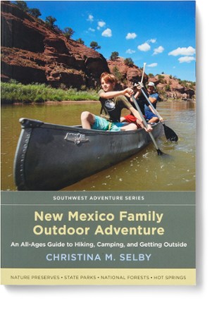
New Mexico Family Outdoor Adventure
Organized geographically and packed with easy-to-use maps, New Mexico Family Outdoor Adventure is an all-ages guide to hiking, camping and getting outside in the state called Land of Enchantment.
Camping and Hiking GuidebooksNorth America Hiking Guidebooks
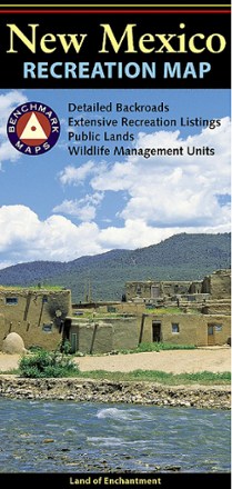
New Mexico Recreation Map
Benchmark MapsThe award-winning Benchmark Maps New Mexico recreation map helps you navigate the Land of Enchantment with generous page-to-page overlaps, GPS grids and easy-to-read symbols.
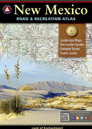
New Mexico Road & Recreation Atlas - 10th Edition
Benchmark MapsJump into the navigator's seat with the Benchmark Maps New Mexico Road and Recreation Atlas and explore the Land of Enchantment with vivid, shade-relief maps and all sorts of recreation to enjoy.
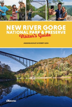
New River Gorge Park & Preserve Visitor's Guide
WolverineThe New River Gorge Park & Preserve Visitor's Guide introduces visitors to the dramatic scenery and endless explorations of the newest destination on the East Coast national park tour.

New York Atlas and Gazetteer
DeLormePerfect for sightseeing, road tripping and finding your new favorite hiking spot, the DeLorme New York Atlas and Gazetteer covers the entire state in detail, from the Big Apple to the Adirondacks.
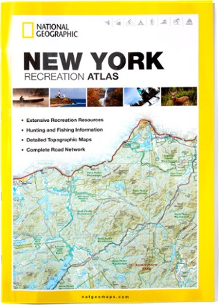
New York Recreation Atlas
National GeographicThe National Geographic New York Recreation Atlas offers detailed topographic maps, complete road networks and extensive recreation resources for the Empire State.
North America MapsNew England and Mid Atlantic Maps - DEPRECATED
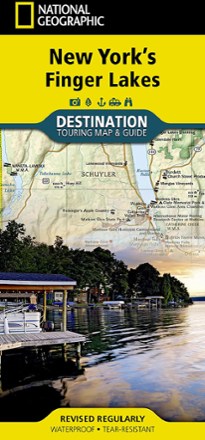
New York's Finger Lakes Destination Touring Map & Guide
National GeographicNew York's Finger Lakes Destination touring map & guide by National Geographic strikes the perfect balance between map and guidebook. It is an ideal resource for touring this unique region.
North America MapsNew England and Mid Atlantic Maps - DEPRECATED
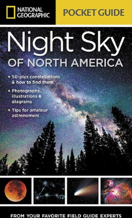
Night Sky of North America
National GeographicWe all gaze at the night sky in wonder, so why not learn more about it? The Night Sky of North America from National Geographic is a go-to reference for everything filling the dark canvas above us.

North Carolina Atlas and Gazetteer
DeLormeThe beautifully crafted DeLorme North Carolina Atlas and Gazetteer covers the entire state in fine detail so you can explore back roads, go sightseeing and plan your outdoor recreation trip with ease.