Filters
No categories available
No brands available
Maps
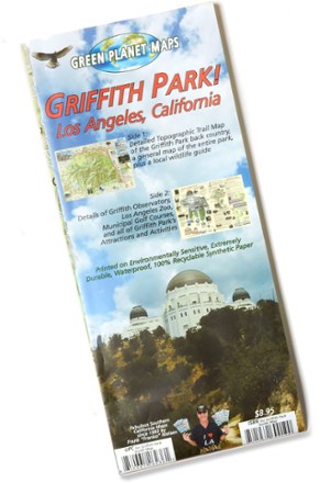
Griffith Park! Map
The Griffith Park! map from Green Planet Maps makes it easy to explore the trails, zoo, observatory, attractions and activities of this beloved and iconic Southern California park.
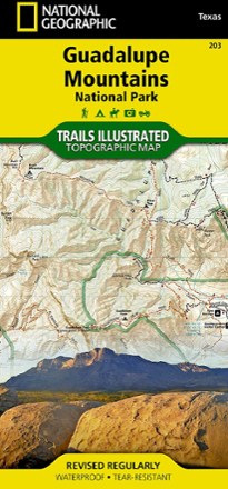
Guadalupe Mountains National Park Trail Map
National GeographicThis Trails Illustrated folded map offers comprehensive coverage of Guadalupe Mountains National Park in Texas.

Gunnison / Pitkin Topographic Map
National GeographicThe Trails Illustrated Gunnison / Pitkin topographic map offers unparalleled detail for outdoor enthusiasts exploring this scenic area on the western slope of the Colorado Rockies.
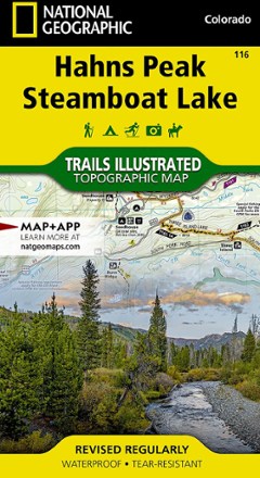
Hahns Peak/Steamboat Lake Trail Map
National GeographicThis colorful Trails Illustrated folded map offers detailed coverage of Colorado's Hahns Peak and Steamboat Lake.
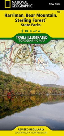
Harriman, Bear Mountain and Sterling Forest State Parks Trail Map
National GeographicThe Trails Illustrated Harriman, Bear Mountain and Sterling Forest trail map from National Geographic offers detailed coverage of these beautiful state parks in New York.

Harriman-Bear Mountain Trails 2-Map Set
New York New Jersey TrailPrinted in vibrant color, the waterproof and tear-resistant Harriman-Bear Mountain Trails 2-map set is a must-have for exploring the rich network of trails in Harriman and Bear Mountain state parks.
North America MapsNew England and Mid Atlantic Maps - DEPRECATED
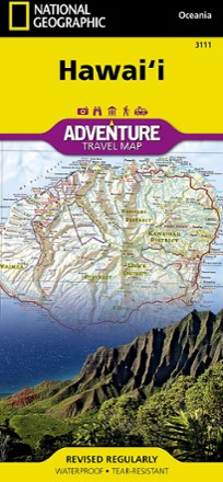
Hawaii Adventure Travel Map
National GeographicThe National Geographic Hawai'i Adventure Travel map is designed to meet the unique needs of adventure travelers with its durability and detailed, accurate information.
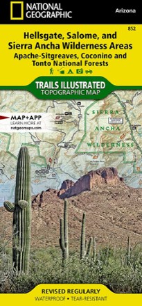
Hellsgate, Salome, & Sierra Ancha Wilderness Areas Topographic Map
National GeographicThe Trails Illustrated Hellsgate, Salome, & Sierra Ancha Wilderness Areas topographic map provides unmatched detail of the northeast region of Tonto National Forest.
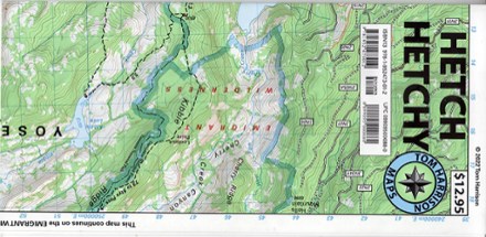
Hetch Hechy Map
Tom Harrison CartographyTake a deep dive into a popular area of Yosemite National Park with the Tom Harrison Cartography Hetch Hechy map. The full color map highlights the hiking trails around Hetch Hetchy Reservoir.

High Peaks Trail Map - 15th Edition
Adirondack Mountain ClubLove big summits? Explore the highest peaks of the Adirondacks with this 15th edition of the High Peaks Trail map. Use it with the High Peaks Trails guidebook (not included) for a full experience.
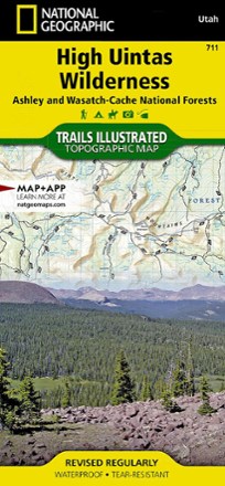
High Uintas Wilderness Topographic Map
National GeographicExplore the alpine vistas, glacier-formed lakes and Utah's highest peaks with the Trails Illustrated High Uintas Wilderness topographic map.
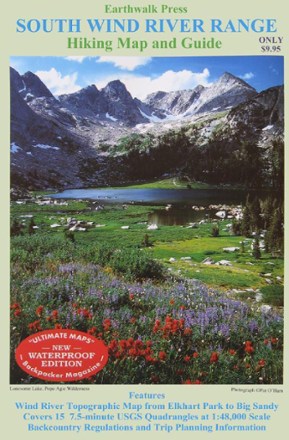
Hiking Map and Guide - South Wind River Range
Printed on waterproof plastic, this topographic map covers Elkhart Park to Big Sandy with backcountry regulations and trip planning information.
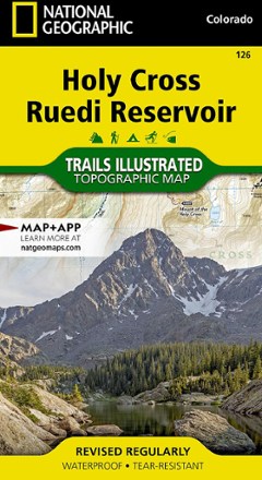
Holy Cross Ruedi Reservoir Topographic Map
National GeographicThe Trails Illustrated Holy Cross Ruedi Reservoir topographic map delivers unmatched detail and valuable information to assist you in your exploration of this rugged area of Colorado.

Hood River Oregon Trail Map
Adventure MapsThe Hood River area offers a wealth of recreational opportunities. Plan your adventure with this Adventure Maps Hood River Oregon topographic trail map and matching digital map for use on your phone.