Filters
No categories available
No brands available
Colorado Maps Deprecated
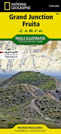
Grand Junction / Fruita Topographic Map
National GeographicPacked with over 500 miles of trails, the Trails Illustrated Grand Junction / Fruita topographic map is ideal for anyone hitting the trails in this outdoor recreation mecca of Colorado.

Grand Mesa Trail Map
National GeographicThis National Geographic Trails Illustrated folded map offers comprehensive coverage of Grand Mesa in Colorado.

Green Mountain Reservoir/Ute Pass Trail Map
National GeographicThis detailed Trails Illustrated folded map offers comprehensive coverage of the Green Mountain Reservoir and Ute Pass areas in Colorado.

Gunnison / Pitkin Topographic Map
National GeographicThe Trails Illustrated Gunnison / Pitkin topographic map offers unparalleled detail for outdoor enthusiasts exploring this scenic area on the western slope of the Colorado Rockies.
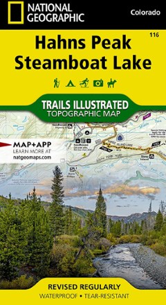
Hahns Peak/Steamboat Lake Trail Map
National GeographicThis colorful Trails Illustrated folded map offers detailed coverage of Colorado's Hahns Peak and Steamboat Lake.
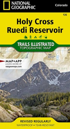
Holy Cross Ruedi Reservoir Topographic Map
National GeographicThe Trails Illustrated Holy Cross Ruedi Reservoir topographic map delivers unmatched detail and valuable information to assist you in your exploration of this rugged area of Colorado.
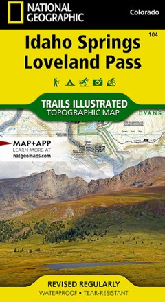
Idaho Springs/Georgetown/Loveland Pass Trail Map
National GeographicThis Trails Illustrated map will help you plan trips and explore the area in and around Colorado's Idaho Springs, Georgetown and Loveland Pass.
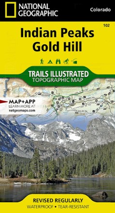
Indian Peaks/Gold Hill Trail Map
National GeographicThis Trails Illustrated folded map offers comprehensive coverage of the Indian Peaks and Gold Hill areas in Colorado.
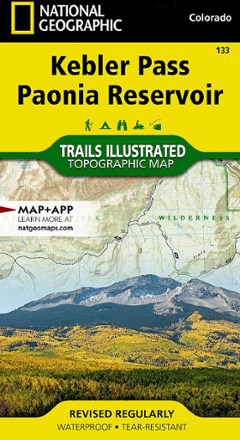
Kebler Pass / Paonia Reservoir Topographic Map
National GeographicThe Trails Illustrated Kebler Pass / Paonia Reservoir topographic map offers outdoor enthusiasts unparalleled detail of this untamed mountainous area with endless recreational opportunities.

Kremmling / Granby Topographic Map
National GeographicThe Trails Illustrated Kremmling / Granby topographic map delivers unmatched detail and valuable information to assist you in your exploration of this popular Colorado recreational area.
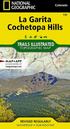
La Garita / Cochetopa Hills Topographic Map
National GeographicThe Trails Illustrated La Garita / Cochetopa Hills topographic map provides unmatched detail of this mountainous and forested area in southern Colorado.
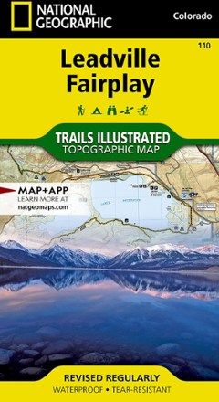
Leadville Fairplay Topographic Map
National GeographicThe Trails Illustrated Leadville Fairplay topographic map combines valuable information with unmatched detail of this popular destination for year-round recreation.
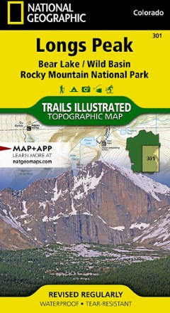
Longs Peak Trail Map
National GeographicThis National Geographic Trails Illustrated folded map offers comprehensive coverage of Longs Peak, Bear Lake and Wild Basin in Colorado.
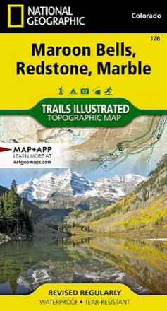
Maroon Bells/Redstone/Marble Trail Map
National GeographicThis informative Trails Illustrated map will help you plan trips and explore the area in and around Colorado's Maroon Bells, Redstone and Marble.