Books And Maps
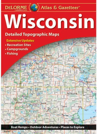
Wisconsin Atlas and Gazetteer
DeLormeFrom the shores of Lake Superior and Lake Michigan to the forests and bluffs of the Western Upland, the DeLorme Wisconsin Atlas and Gazetteer covers the entire Badger State in fine detail.

Wisconsin Explorers Guide
Countryman PressWith city sophistication and small-town charm, Wisconsin offers much more than cheese. Enjoy it using the Wisconsin Explorers Guide, which offers a range of activities in comprehensive detail.
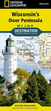
Wisconsin's Door Peninsula Destination Map
National GeographicTrails Illustrated Wisconsin's Door Peninsula Destination Map strikes a balance between travel map and guidebook—a great resource for touring this culturally and geographically unique region.

Woman in the Wild
FalconGuidesLooking to get into the backcountry lifestyle or level up your current active outdoor life? A perfect adventure companion, Woman in the Wild is your guide to hiking, camping and backcountry travel.
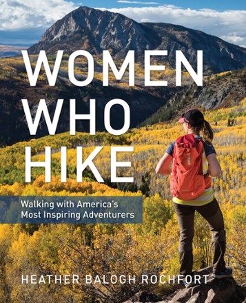
Women Who Hike
FalconGuidesA celebration of athleticism, wisdom and skill—Women Who Hike profiles more than 20 of America's most inspiring women adventurers ranging from legends to the rising stars of today.
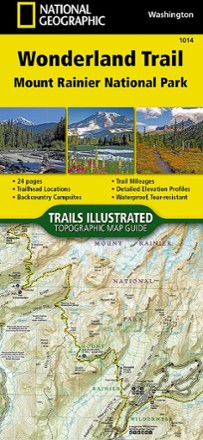
Wonderland Trail Topographic Map Guide
National GeographicNavigate the 22,000 cumulative feet of elevation gain/loss over undulating terrain encircling Mount Rainier with the detailed help of this National Geographic Wonderland Trail topographic map guide.
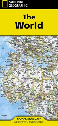
World Map - Folded
National GeographicSetting the standard by which all other reference maps are measured, the folded National Geographic World Map is meticulously researched and uses a bright, easy-to-read color palette.
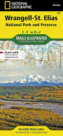
Wrangell-St. Elias National Park & Preserve Topographic Map
National GeographicExplore the wild and vast backcountry of the United States' largest national park with this detailed National Geographic Wrangell-St. Elias National Park & Preserve topographic map as your guide.

Written in the Snows
Mountaineers BooksA definitive, visually rich history of the past century of Northwest ski culture, Written in the Snows tells colorful stories of wilderness exploration and traces the evolution of gear and technique.
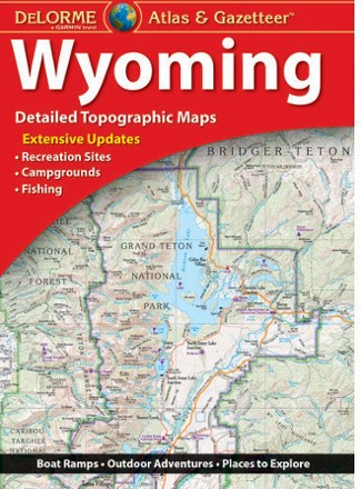
Wyoming Atlas and Gazetteer
DeLormeWhen more than half the state is public land, you know there's a ton to explore. The DeLorme Wyoming Atlas and Gazetteer covers the entire Equality State in fine detail.

Wyoming Off the Beaten Path
Globe Pequot PressFrom the best in local dining to quirky cultural tidbits, Wyoming Off the Beaten Path features the things travelers and locals want to see and experience.
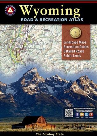
Wyoming Road & Recreation Atlas - 4th Edition
Benchmark MapsSee all the beauty of Wyoming from the road with the Benchmark Maps Wyoming Road and Recreation Atlas as your navigator, with vivid, shade-relief maps and recreational details to stop off and enjoy.
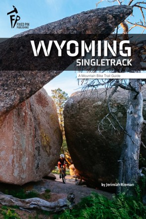
Wyoming Singletrack: A Mountain Bike Trail Guide
Fixed Pin PublishingA world of adventure is just a pedal stroke away. From easygoing paths by geysers to backcountry adventures through iconic mountain ranges, Wyoming Singletrack will help you find the perfect MTB ride.
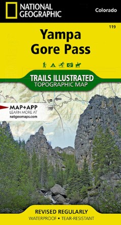
Yampa and Gore Pass Topographic Map
National GeographicThe richly detailed Trails Illustrated Yampa and Gore Pass map helps you enjoy the year-round recreational opportunities in and around southern Routt National Forest.