Books And Maps
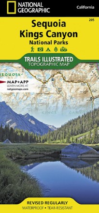
Sequoia and Kings Canyon National Park Trail Map
National GeographicThis National Geographic Trails Illustrated folded map offers comprehensive coverage of California's Sequoia and Kings Canyon national parks.

Sespe Wilderness Trail Map
Tom Harrison CartographyGet into the Santa Barbara Coastal Range where condors soar with the Tom Harrison Cartography Sespe Wilderness trail map as your guide.

Shapes and Patterns in Nature
The ground, underground and the deep seas are teeming with waves, dots, stripes, spirals and complicated patterns. Welcome young readers to our vibrant world with Shapes and Patterns in Nature.
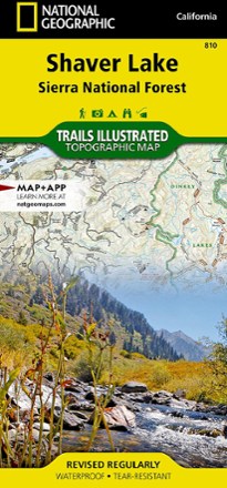
Shaver Lake: Sierra National Forest Topographic Map
National GeographicThe Trails Illustrated Shaver Lake: Sierra National Forest Topographic Map will help you navigate off the beaten path and back again, all around this very popular area of the Sierras in California.

Shawangunk Mountains Map
National GeographicA comprehensive guide to recreational opportunities, the National Geographic Shawangunk Mountains map was created in cooperation with land management agencies and preservation organizations.
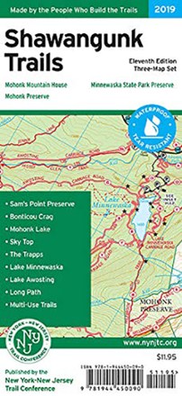
Shawangunk Trails Map Set - 11th Edition
New York New Jersey TrailWith 3 maps detailing more than 200 mi. of maintained trails and carriage roads, the 11th edition of the Shawangunk Trails map set is a must-have for exploring the special features of the region.

She Explores
Chronicle BooksAlthough charting into unknown territory can be daunting, She Explores is an inspiring collection of women's courageous stories that celebrate taking on new and exhilarating solo outdoor adventures.

Shelf Road Rock - 3rd Edition
Sharp End PublishingLocated in south-central Colorado, Shelf Road is one of America's leading sport climbing destinations. Use Shelf Road Rock to explore the more than 1,200 routes scattered among the limestone canyons.

Shells of Florida: Atlantic Ocean & the Florida Keys
Quick Reference PublishingA colorful, waterproof guide, Shells of Florida: Atlantic Ocean & the Florida Keys is an excellent resource for identifying drift found in these beach, lagoon and bay habitats.

Shells of Florida: Gulf of Mexico
Quick Reference PublishingThis colorful, waterproof guide—Shells of Florida: Gulf of Mexico—is an excellent resource for identifying drift found in beach, lagoon and bay habitats of the Gulf.

Shells of North Carolina, South Carolina & Georgia
Quick Reference PublishingThis colorful, waterproof guide—Shells of North Carolina, South Carolina & Georgia—is an excellent resource for identifying the drift found in Southeastern beach, bay and related coastal habitats.
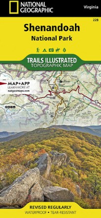
Shenandoah National Park Map
National GeographicThe Trails Illustrated Shenandoah National Park map offers clear, detailed coverage of the natural escape that's just 75 miles from the hustle and bustle of Washington, D.C.
North America MapsNew England and Mid Atlantic Maps - DEPRECATED

Shining Rock and Middle Prong Wilderness Areas Trail Guide
Pisgah Map CoA guide and locator map in one, the Shining Rock and Middle Prong Wilderness Areas trail guide from Pisgah Map Co is perfect for hikers, backpackers and backcountry anglers exploring the region.

Shorebirds of North America
Quick Reference PublishingAlong North America's shoreline is a host of diverse bird species. Pull out the waterproof, pocket-size Shorebirds of North America wherever you go to quickly identify what you see.