Books And Maps
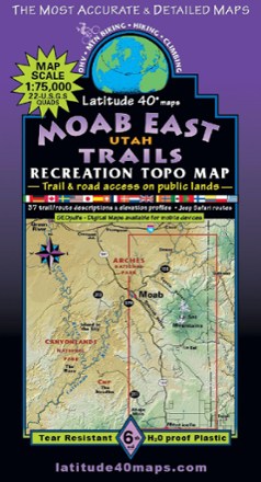
Moab East Utah Trails Map - 6th Edition
Latitude 40 MapsExplore the trails and roads of Moab East with the Latitude 40 Moab East Utah Trails Map, a full-color, waterproof topographic map leading you across an incredible stretch of eastern Utah.

Modern Cast Iron Cookbook
Dreaming of warm, crumbly cornbread or chicken sizzling in the pan? Discover delicious, wholesome meals—and how to care for cast iron—with the Modern Cast Iron cookbook by Ashley L. Jones.

Mogollon Rim/ Munds Mountain Topographic Map
National GeographicOutdoor enthusiasts seeking recreational opportunities in central Arizona will find the Trails Illustrated Mogollon Rim/ Munds Mountain topographic map an essential travel companion.
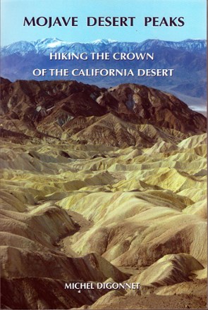
Mojave Desert Peaks
Explore the breathtaking beauty of one of the USA's best-preserved ecosystems in Mojave Desert Peaks, which takes you on descriptive tours of 130 easy-to-difficult peak climbs throughout the region.
North America Hiking GuidebooksCalifornia Hiking Guidebooks - DEPRECATED

Mojave National Preserve Trail Map
National GeographicThis detailed Trails Illustrated folded map offers comprehensive coverage of California's Mojave National Preserve.

Moms Who Hike: Walking With America's Most Inspiring Adventurers
FalconGuidesMoms Who Hike celebrates the athleticism, wisdom and skill of over 20 of America's most inspiring adventurer mothers—ranging from famous legends to the rising stars of today.

Montana Atlas and Gazetteer - 11th Edition
DeLormeThe DeLorme Montana Atlas and Gazetteer covers Big Sky Country in fine detail, from the mountains that gave this state its name to the plains, buttes and national parks that draw countless visitors.

Montana Off the Beaten Path
Globe Pequot PressShowing a side of the Treasure State that other guidebooks just don't offer, Montana Off the Beaten Path gets you off the main road, revealing little-known attractions and unusual locales.
North America Travel GuidebooksMountain West Travel Guidebooks - DEPRECATED
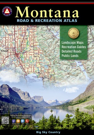
Montana Road & Recreation Atlas - 5th Edition
Benchmark MapsTake the scenic route through the rugged peaks, majestic rivers and expansive plains of Big Sky Country with the 5th edition of Benchmark Maps Montana Road & Recreation Atlas.

Moore's Wall Bouldering
WolverineFor year-round bouldering fun in the Piedmont region of North Carolina, your next exciting challenge awaits in the Moore's Wall Bouldering guide, featuring over 500 fantastic problems.
North America Climbing GuidebooksSoutheast Climbing Guidebooks - DEPRECATED

Morris County Highlands Trails Map 2023 - 3rd Edition
New York New Jersey TrailA must-have for exploring parks and trails, the Morris County Highlands Trails map (formerly called Jersey Highlands Trails: Central North Region) is a 2-map set covering the New Jersey Highlands.
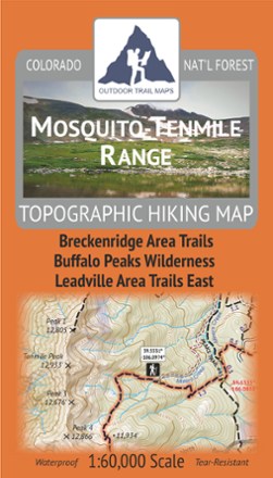
Mosquito-Tenmile Range Topographic Map
Outdoor Trail MapsPlan your own adventure with the tough, compact Mosquito-Tenmile Range topographic map. It shows all the hiking trails in the Mosquito Range and its subrange, the Tenmile Range, of central Colorado.

Mount Baker and Boulder River Wilderness Areas Topographic Map
National GeographicThe Trails Illustrated Mount Baker and Boulder River Wilderness Areas topographic map helps you enjoy the limitless recreational opportunities in the western Cascades of northern Washington.
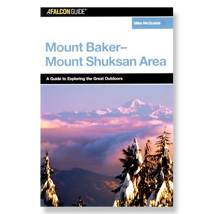
Mount Baker-Mount Shuksan Area: A Guide to Exploring the Great Outdoors
FalconGuidesLet this book be your guide to year-round adventures in the mountains and forests of northwestern Washington State.
North America Travel GuidebooksWashington and Oregon Travel Guidebooks - DEPRECATED